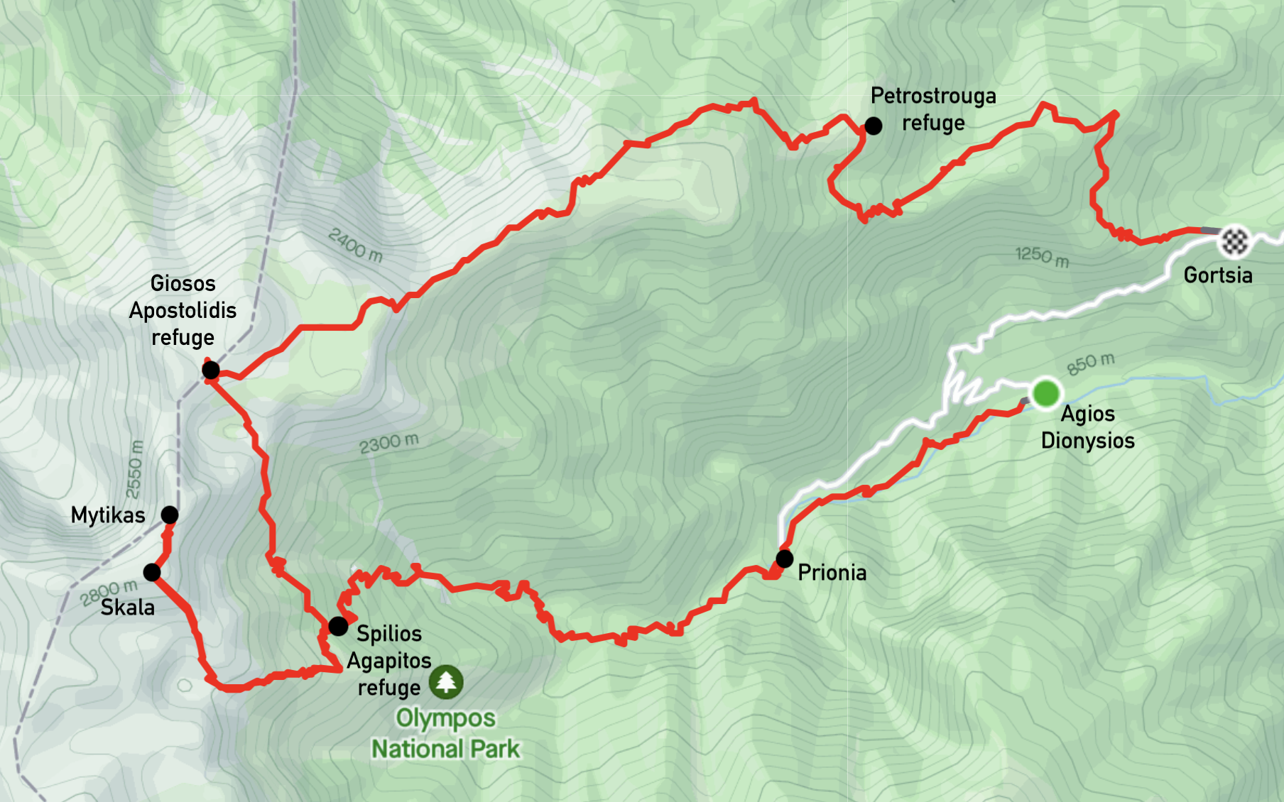
Summitting Mount Olympus, Greece
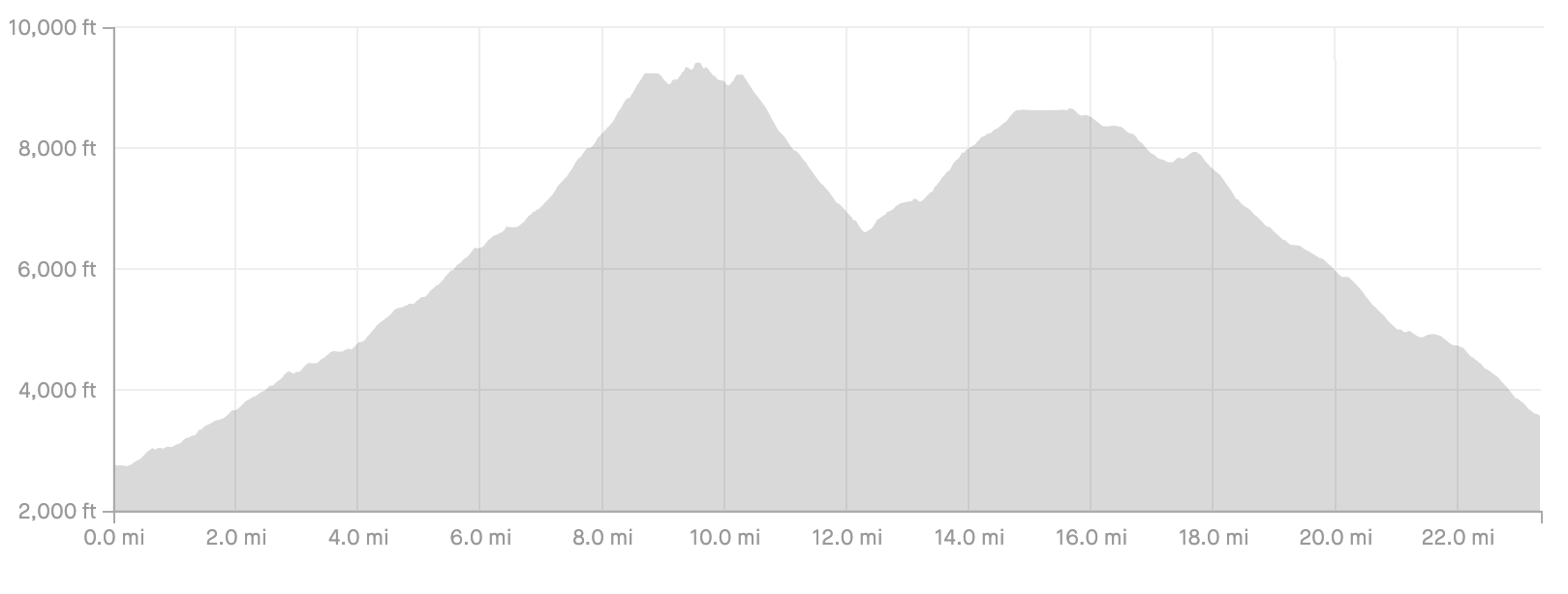
Total distance: 37 km (23 mi)
Total elevation gain: 3100 m (10200 ft)
In June 2023, I went on a backpacking trip to Mount Olympus, Greece – the home of the gods in ancient Greek mythology – along with my friend Alex. (Not to be confused with Mount Olympus, Washington, USA.)
I was surprised to learn that June may still be too early for a summit attempt. Based on how much snowfall there is that winter, and spring temperatures, the path to the summit may still be icy and impassible without crampons, ice axes, and other winter climbing gear. Thankfully, just a few days before we left, we learned that the snow had melted off most of the trails, including the path to the summit.
Day 0
The day before we started our hike, we drove to the town of Litochoro. Litochoro is a small town that lies between the Aegean sea and the base of Mount Olympus.
We looked at the weather forecast for the mountain, which can change frequently, and found that heavy rain was predicted for the next day. That was a bit disappointing, but it was too late to stop us now! I stopped at a local hiking gear shop and bought a more waterproof rain jacket than the one I had packed. We packed our gear into our backpacks to prepare for the next day: water, snacks, sun protection, jackets, sleeping bags, etc.
Day 1 - Agios Dionysios to Spilios Agapitos
Distance: 11 km (7 mi)
Elevation gain: 1300m (4200 ft)
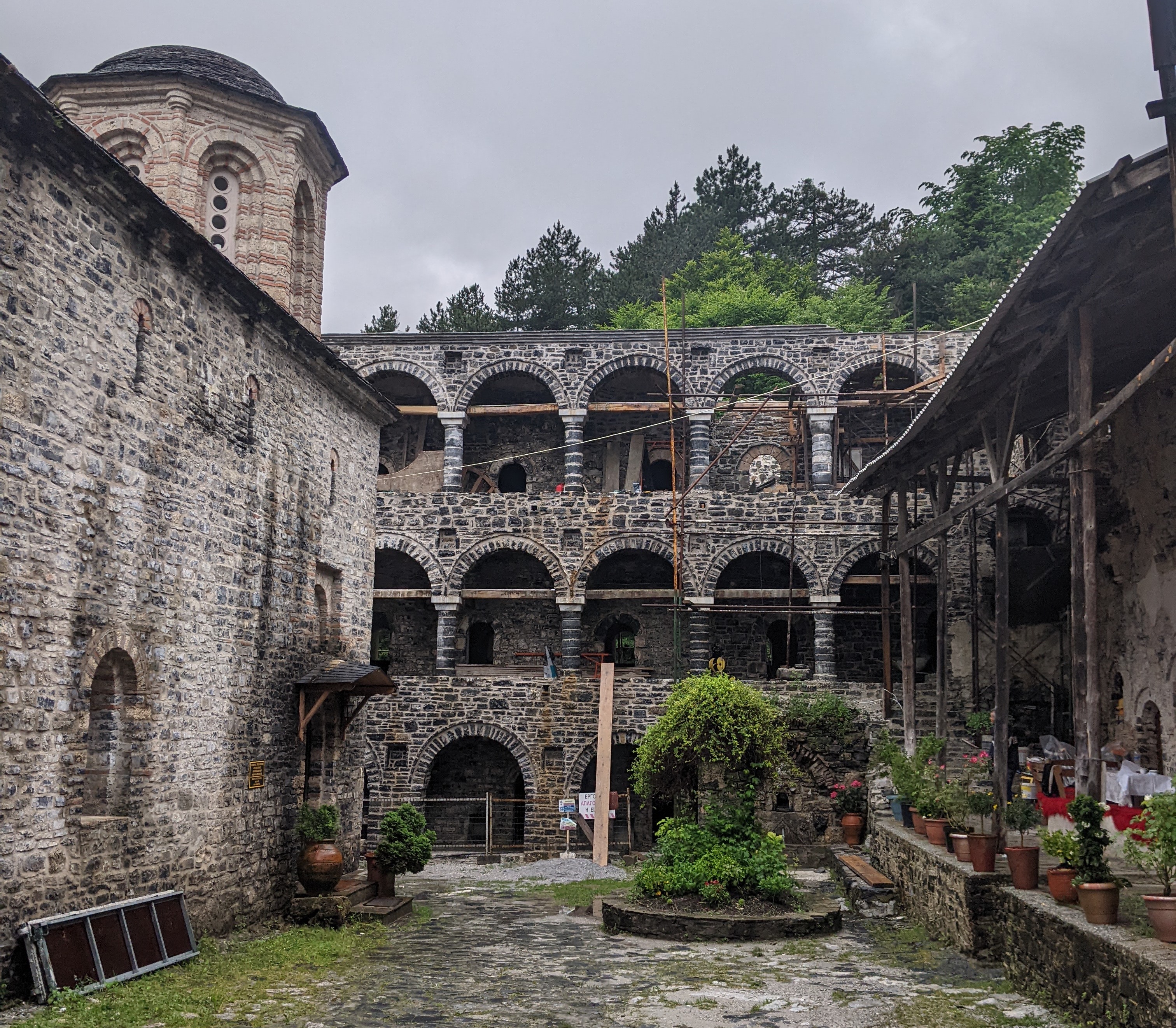
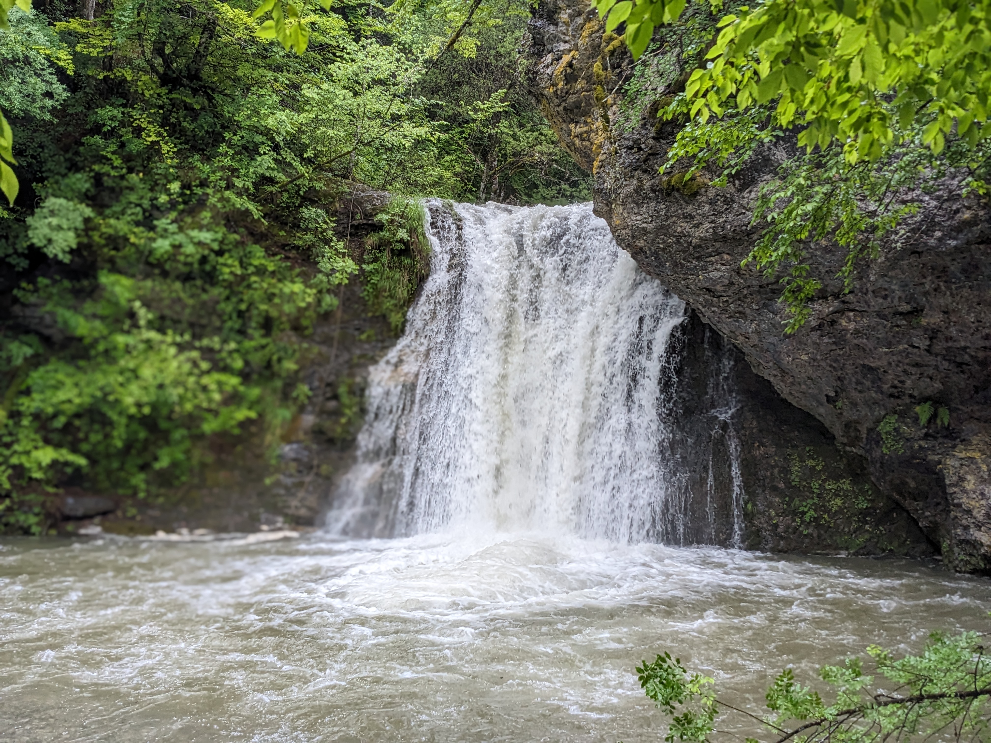
We woke up to a cloudy and wet day, as predicted in the forecast. We drove a few miles up to the Agios Dionysios Monastery trailhead (~800m), put on our rain jackets and pack covers, and started the hike. We took a few minutes to explore the monastery, before continuing on through lush greenery and past some waterfalls, before reaching Prionia a few miles in.
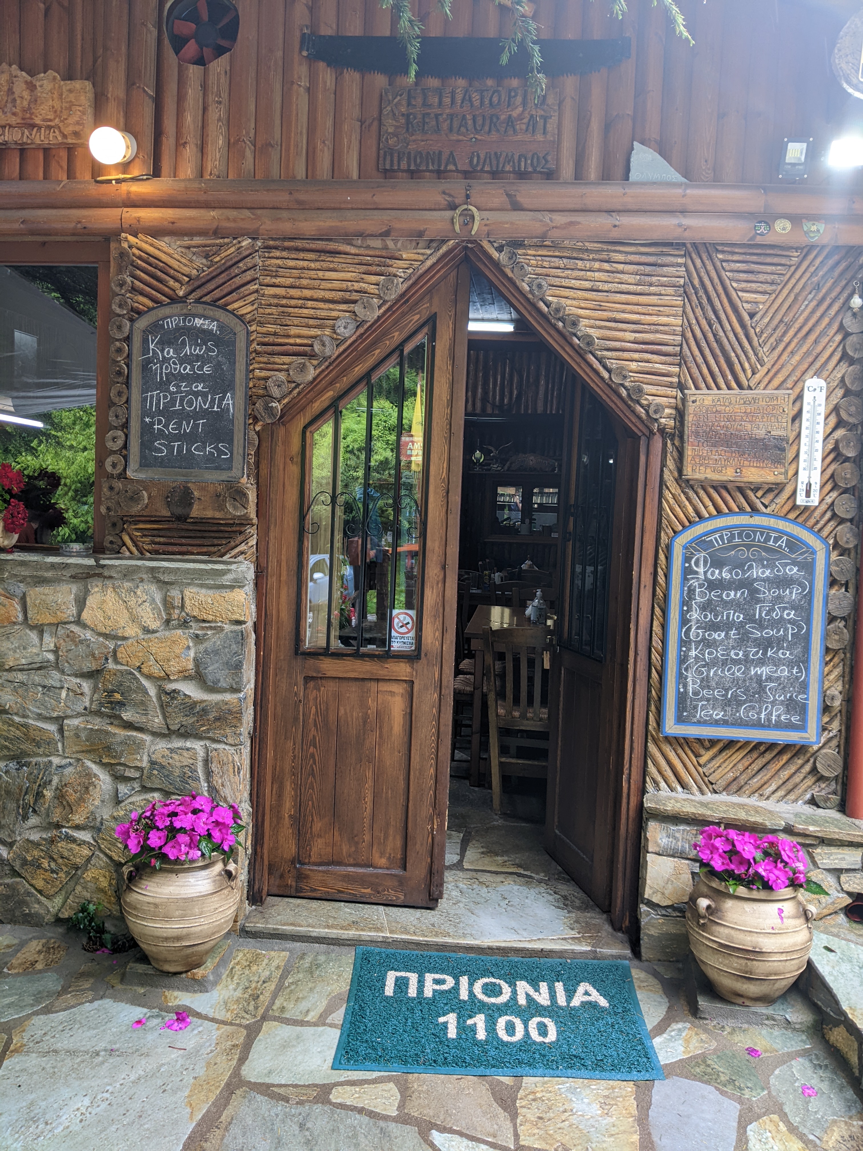
Prionia is at a higher elevation (1100m) and accessible by car, so it’s also possible to start hiking here. They also have a small cafe, so we got some tasty soup for lunch before continuing up.
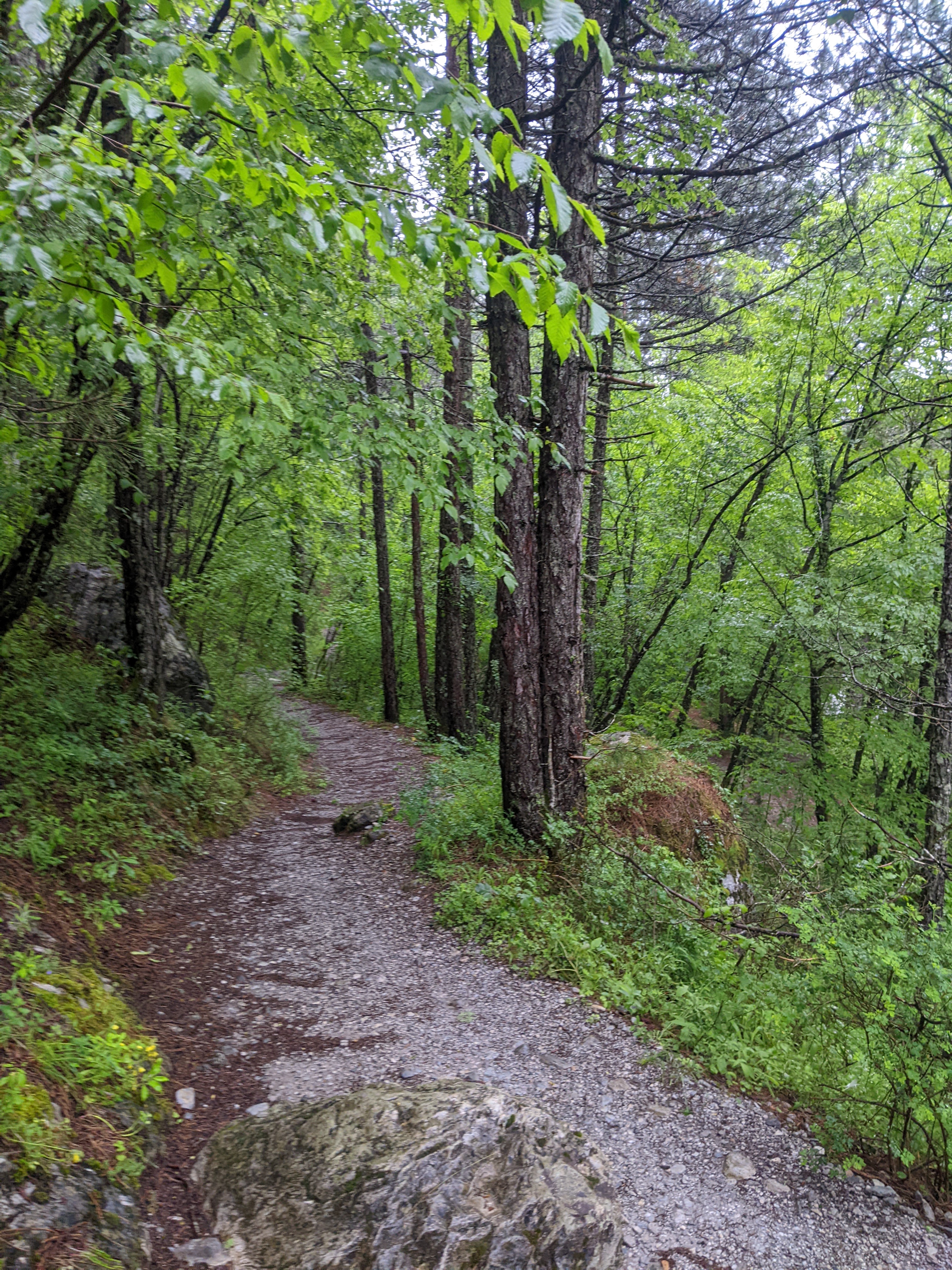
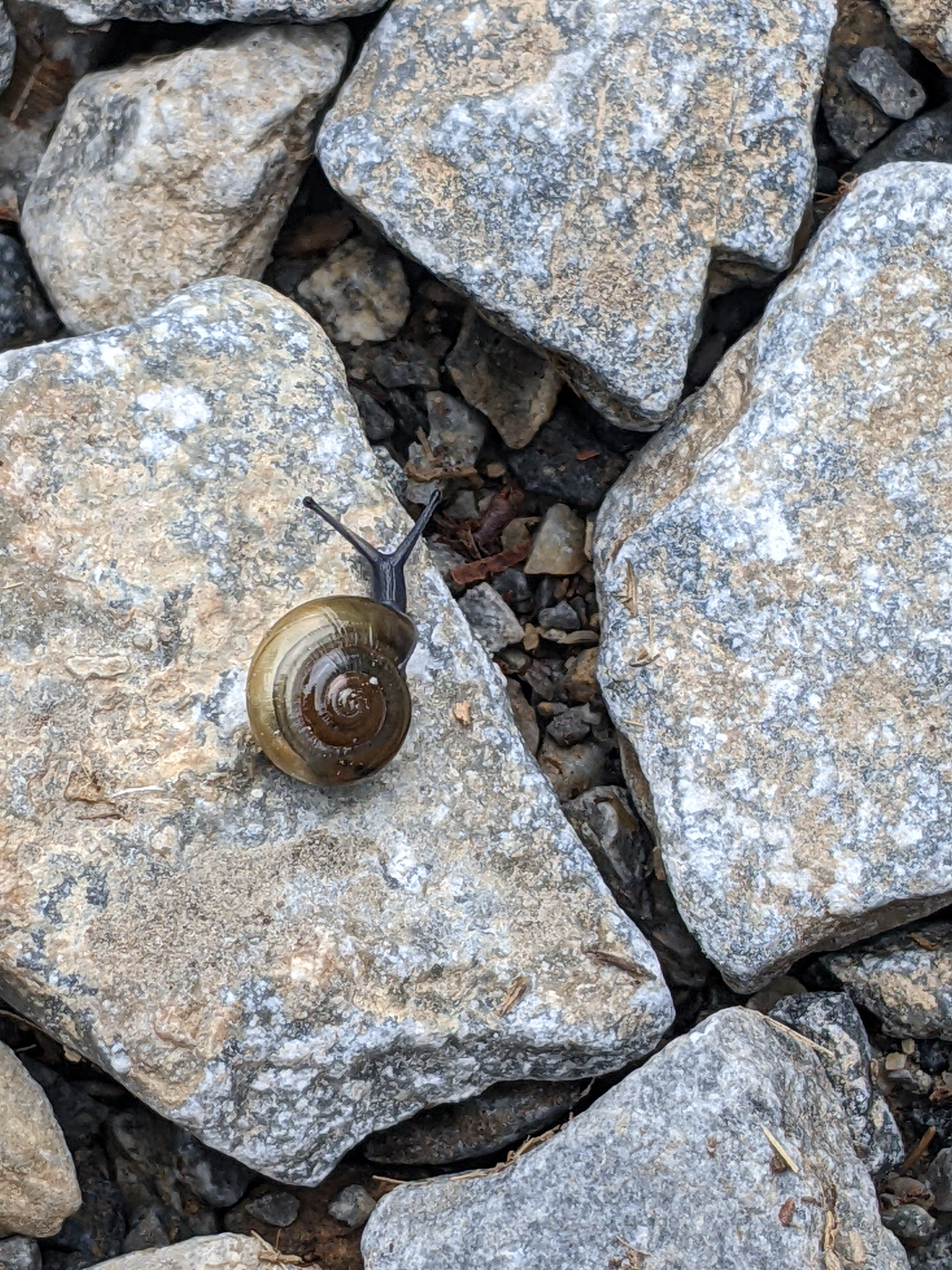
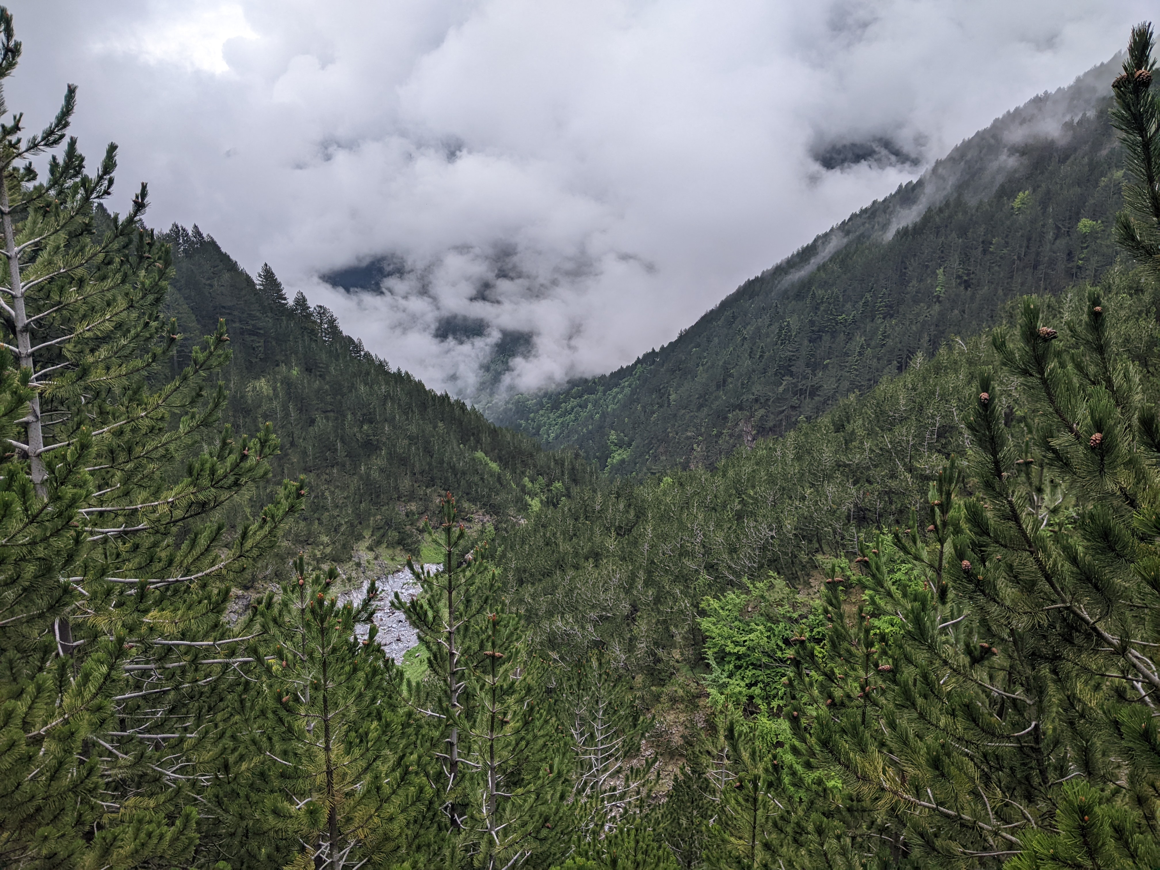
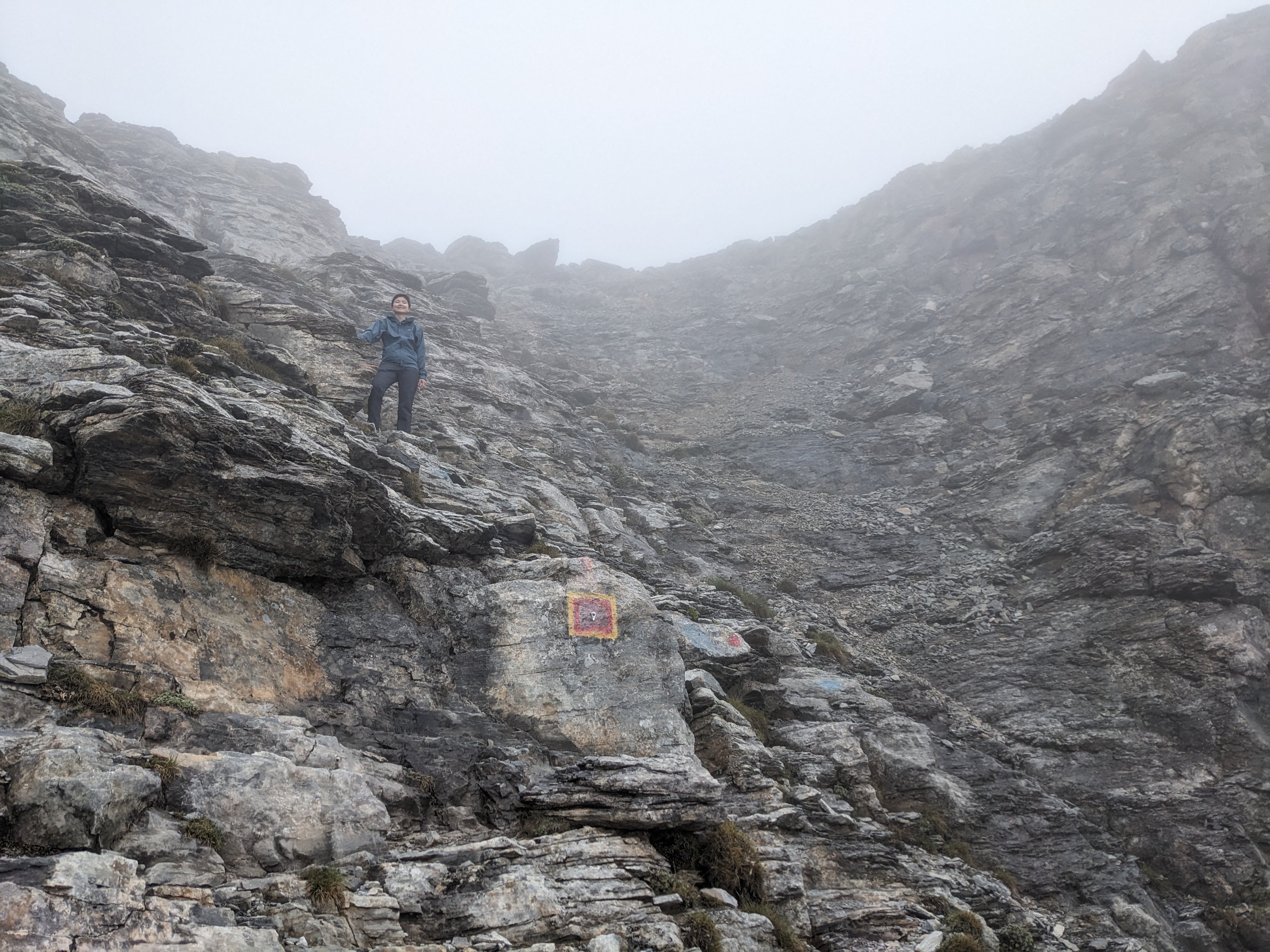
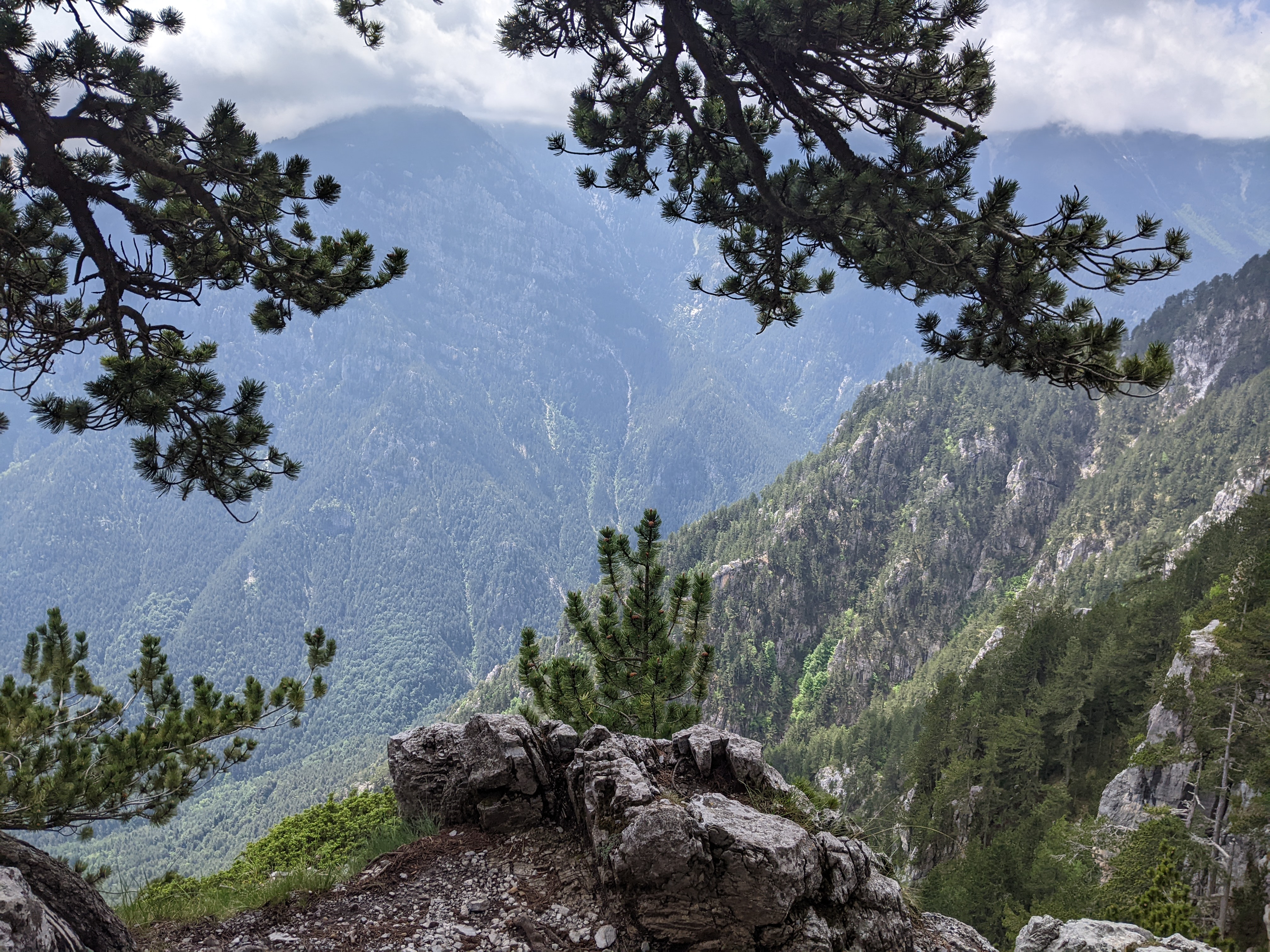
We climbed through a foggy forest, going up many switchbacks. It was somewhat tiring on the legs, but overall not too strenuous or steep. Eventually the trees thinned out and the trail became more rocky instead of dirt. The trail was very well defined and maintained, and there were several other groups hiking this way.
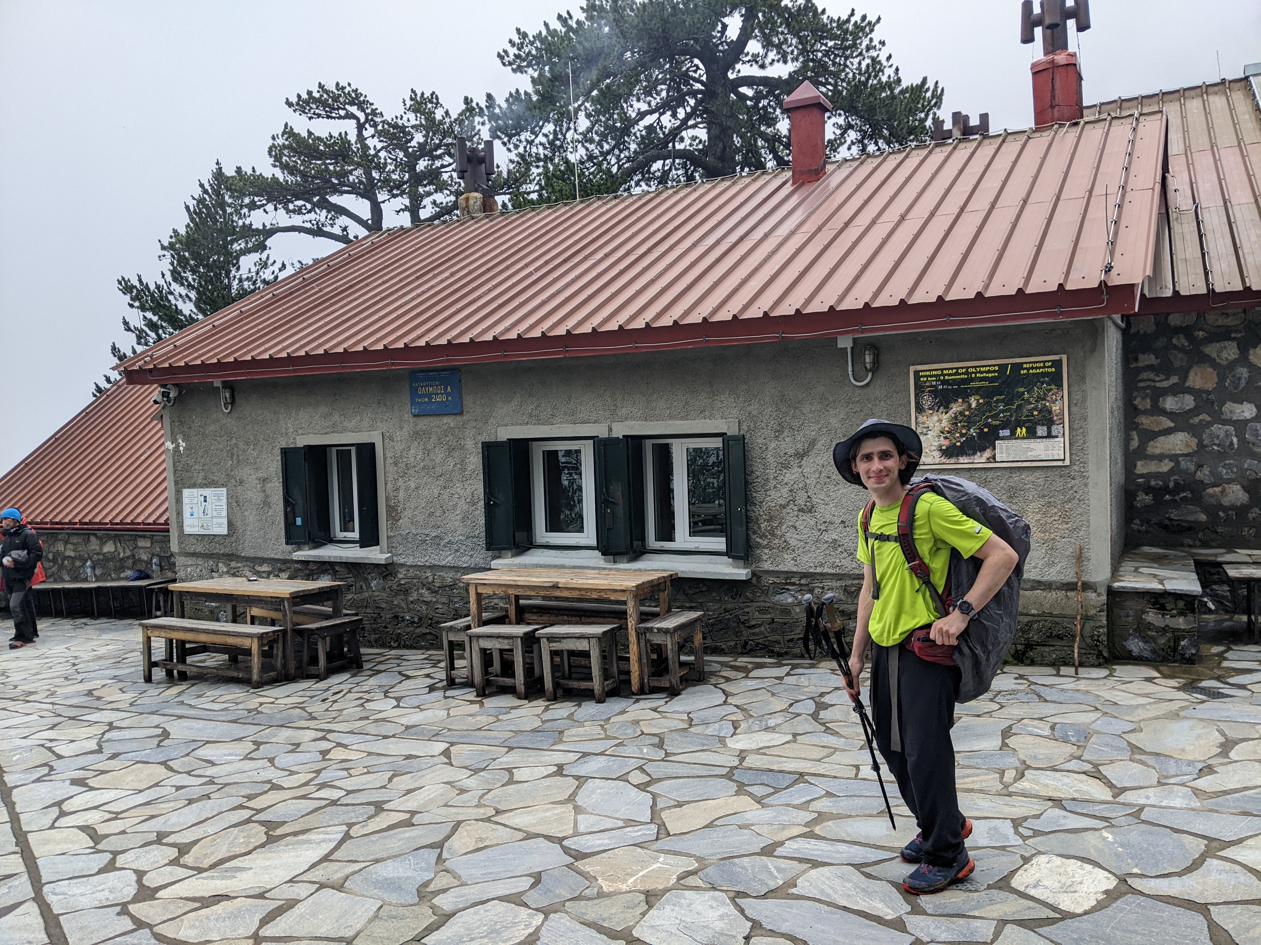
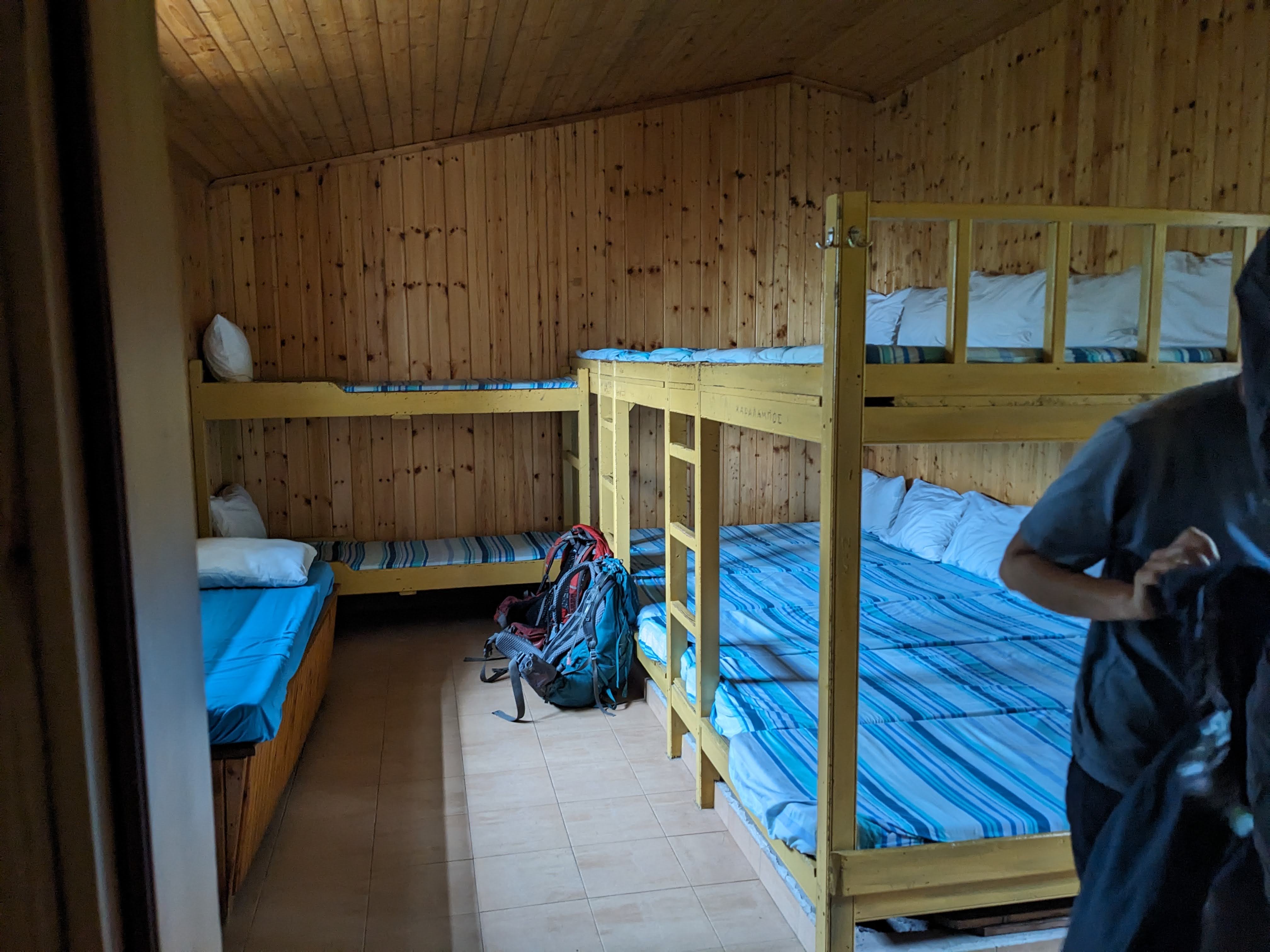
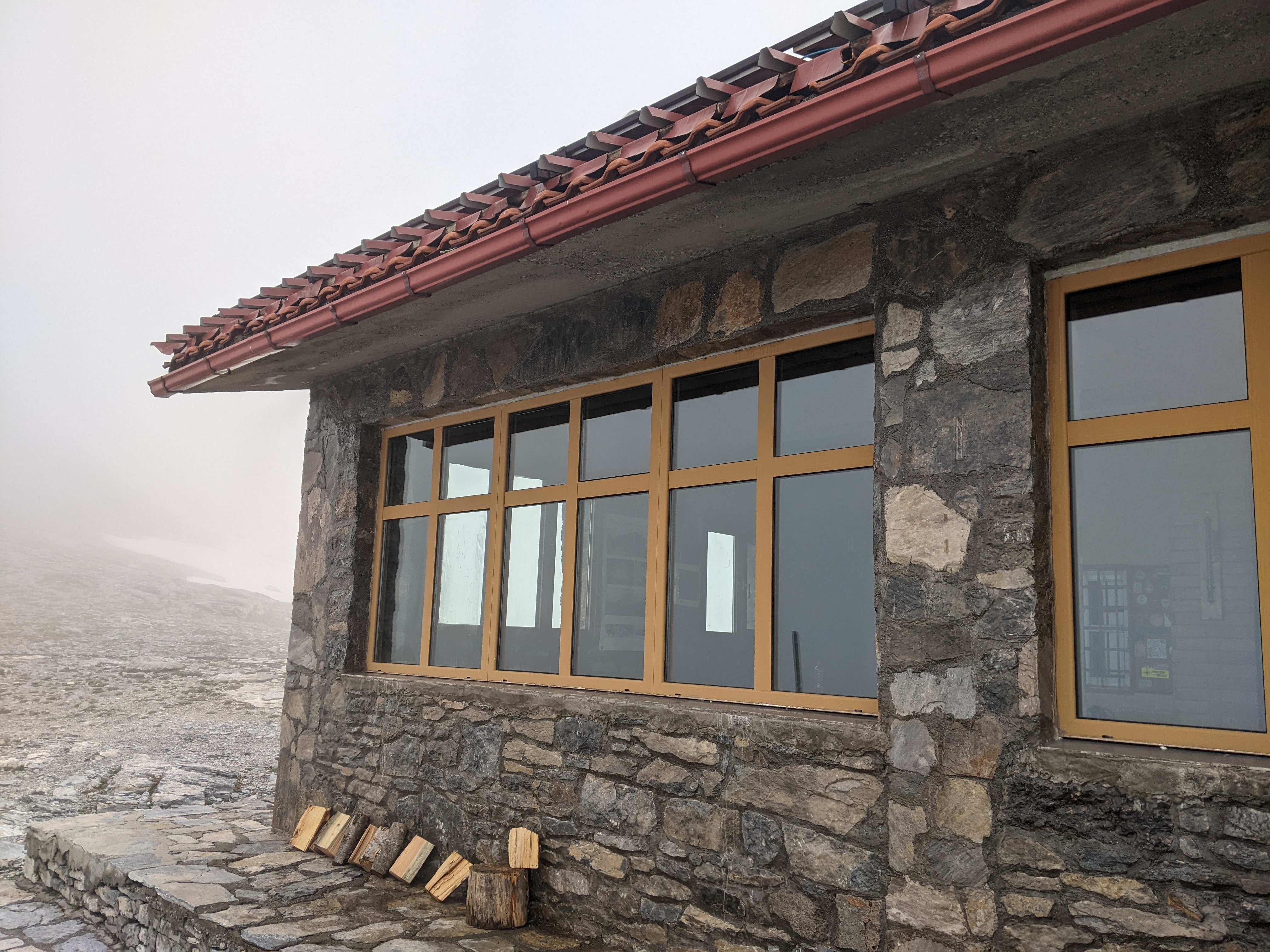
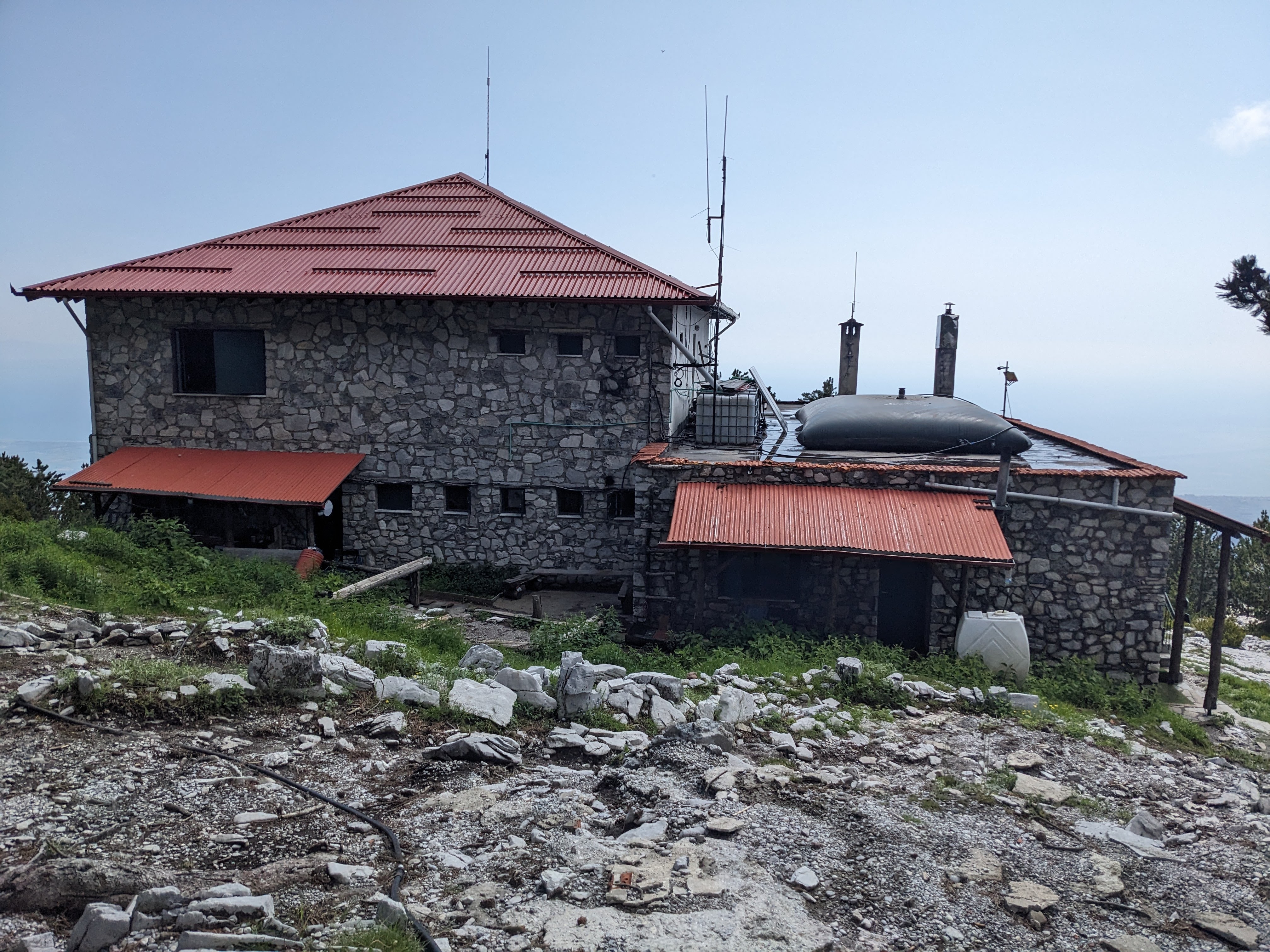
After about 6km, we reached Spilios Agapitos refuge (2100m). Wilderness camping is not allowed, only staying in the designated hiking refuges. They are quite nice, with dorm-style beds, kitchens where you can buy a meal, and bathrooms (no hot water). Reservations are required, though, and weekend nights during peak season will sell out weeks ahead of time. We checked into the dorm, got some dinner, and chatted with other hikers before going to bed.
Day 2 - The Summit!
Distance: 13 km (8 mi)
Elevation gain: 1400 m (4600 ft)
We set out early in the morning with the hopes of making it to the summit before noon. The weather on the mountain is unpredictable, and afternoon thunderstorms (aka the wrath of Zeus) are common, so it’s best to hit the peaks earlier in the day. We planned to come back to the refuge after the summit, so we left most of our supplies in the refuge and only carried up water, snacks, and other essentials.
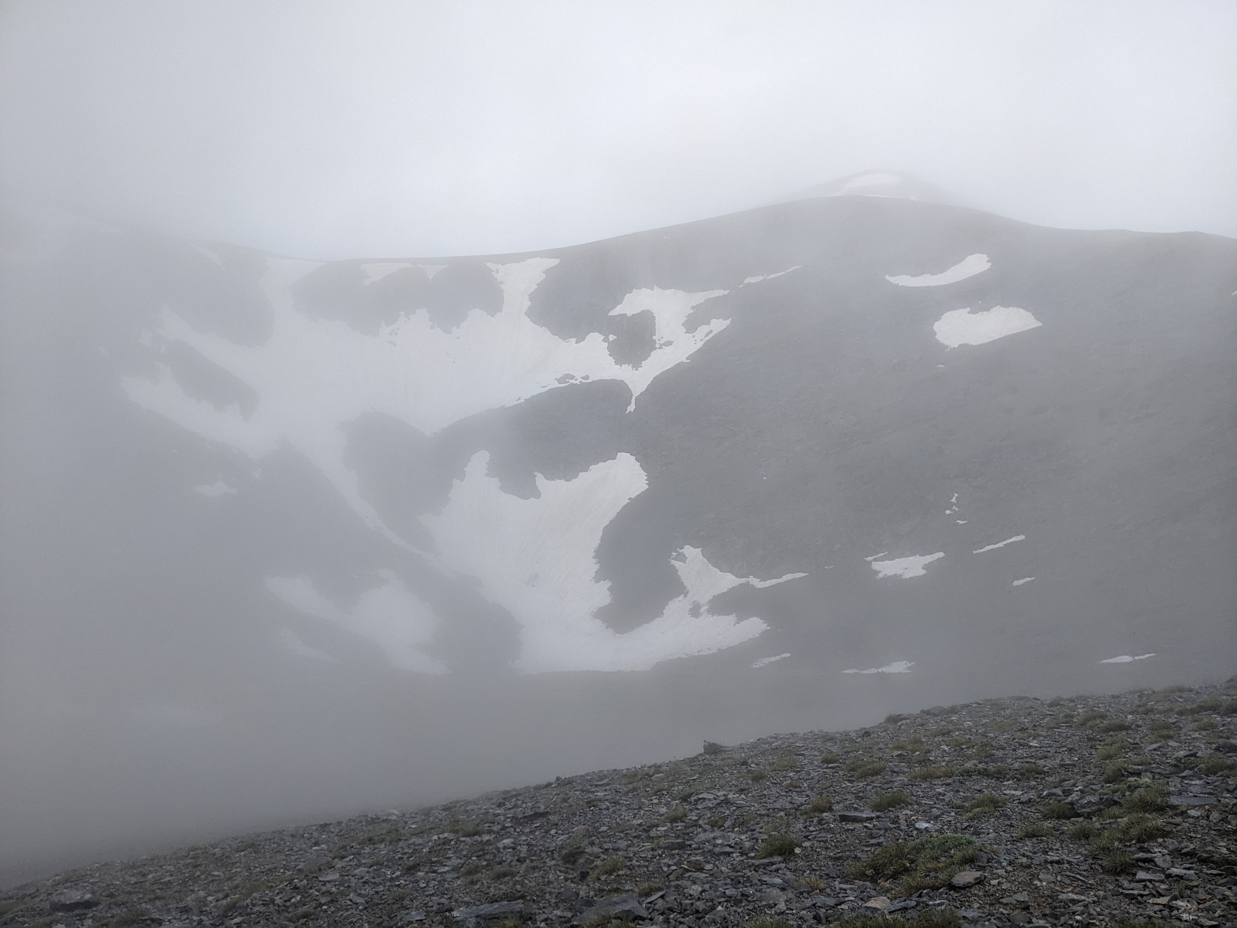
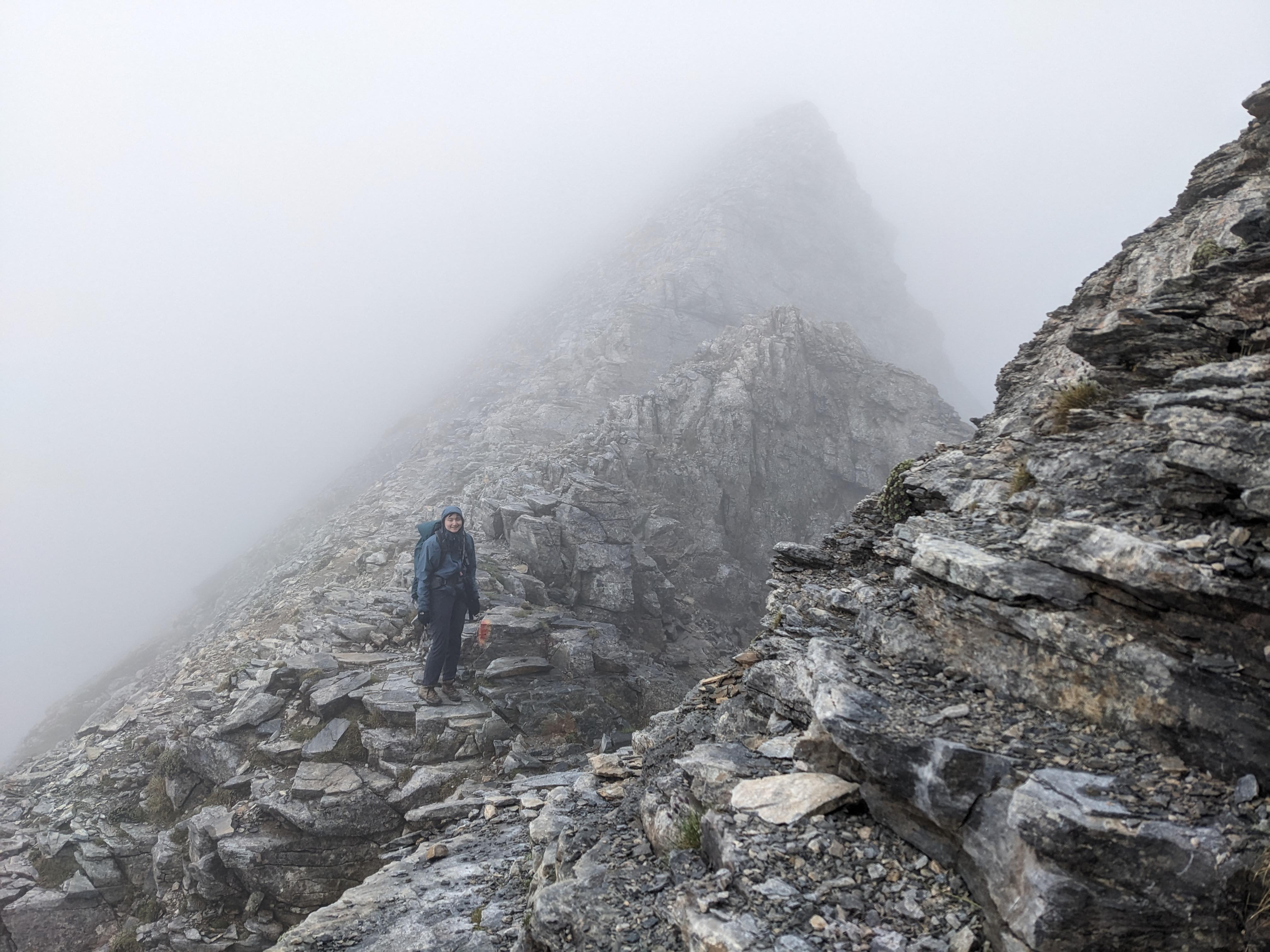
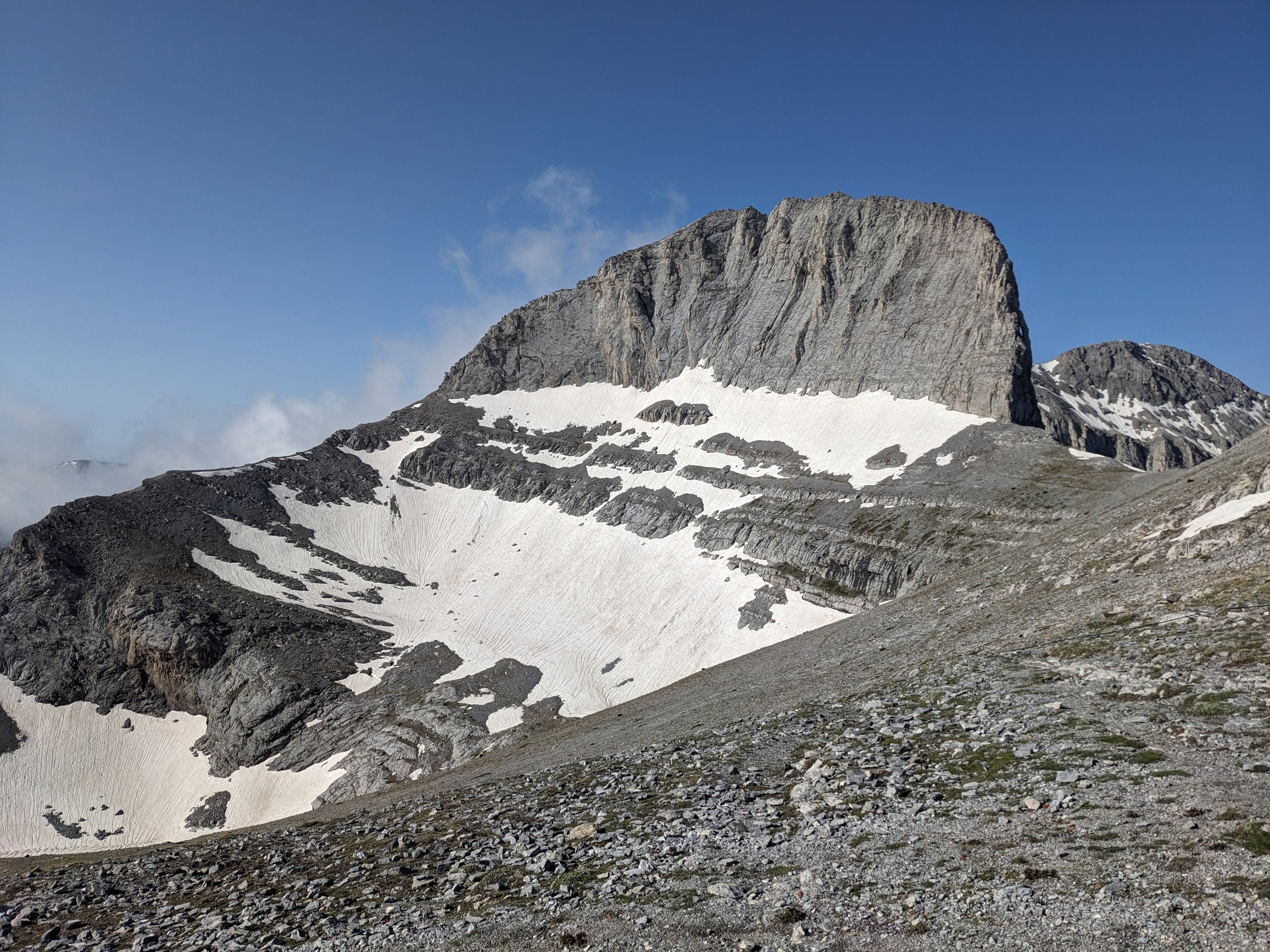
It was extremely foggy, cold, and wet, even more so than the previous day. We were soon completely above the treeline, on a rocky and windy trail. We saw no one else out hiking this early. There were several large ice patches to the sides of the trail, some of which are glaciers.
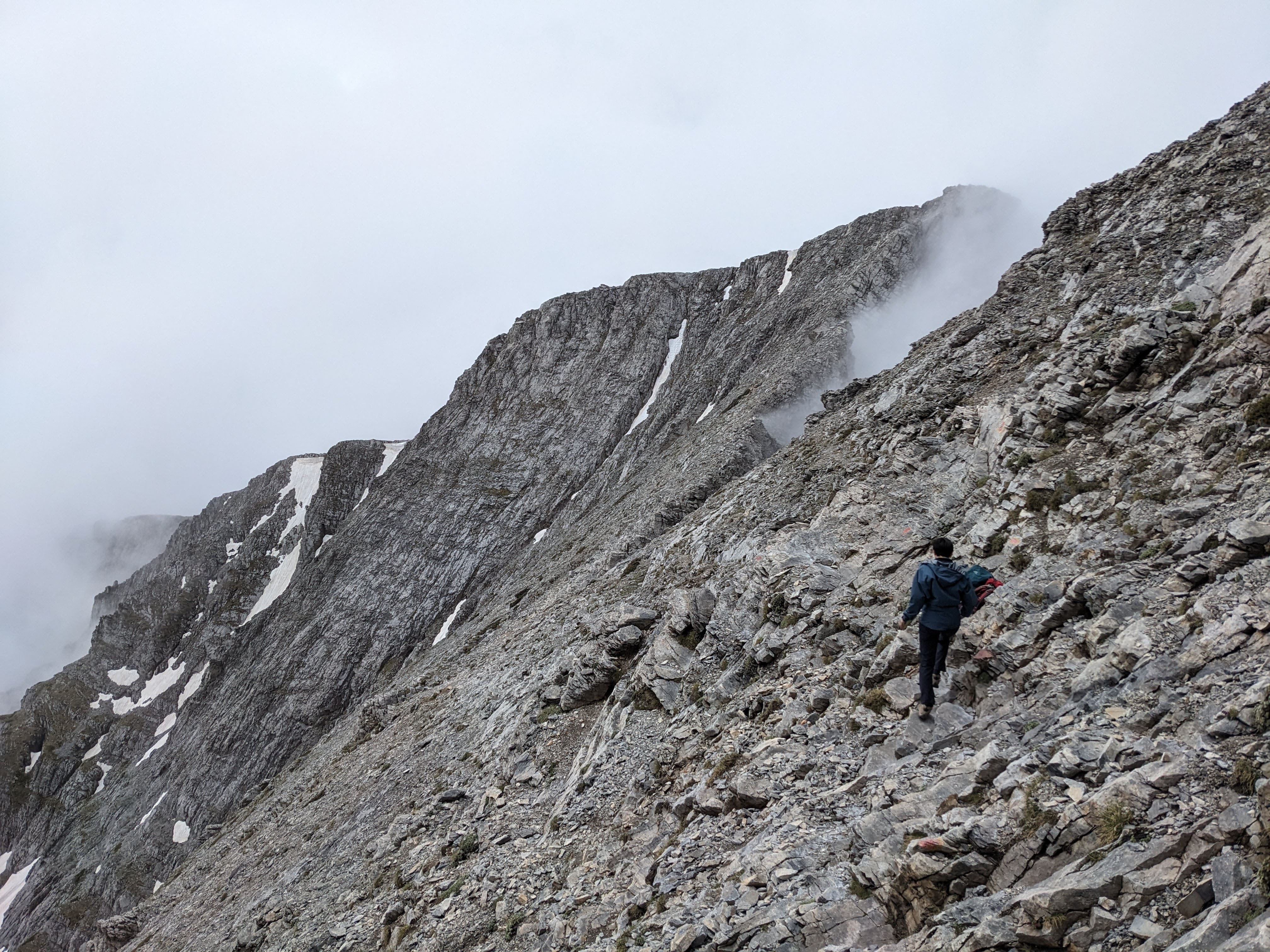
After around 2 hours we reached Skala summit (2866m). Here there is a fork, to the left is Skolio summit and to the right is Mytikas summit, the highest peak on Mount Olympus and the highest point in Greece.
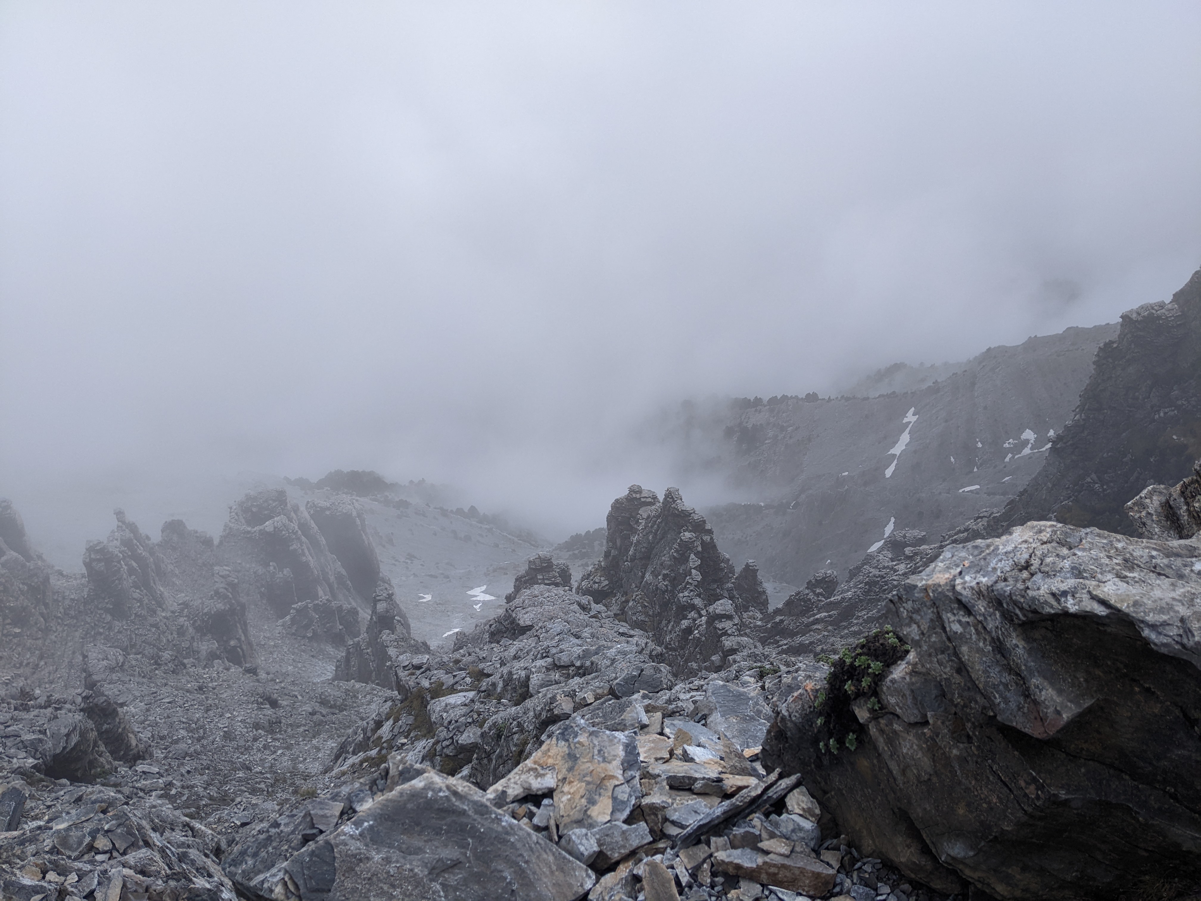
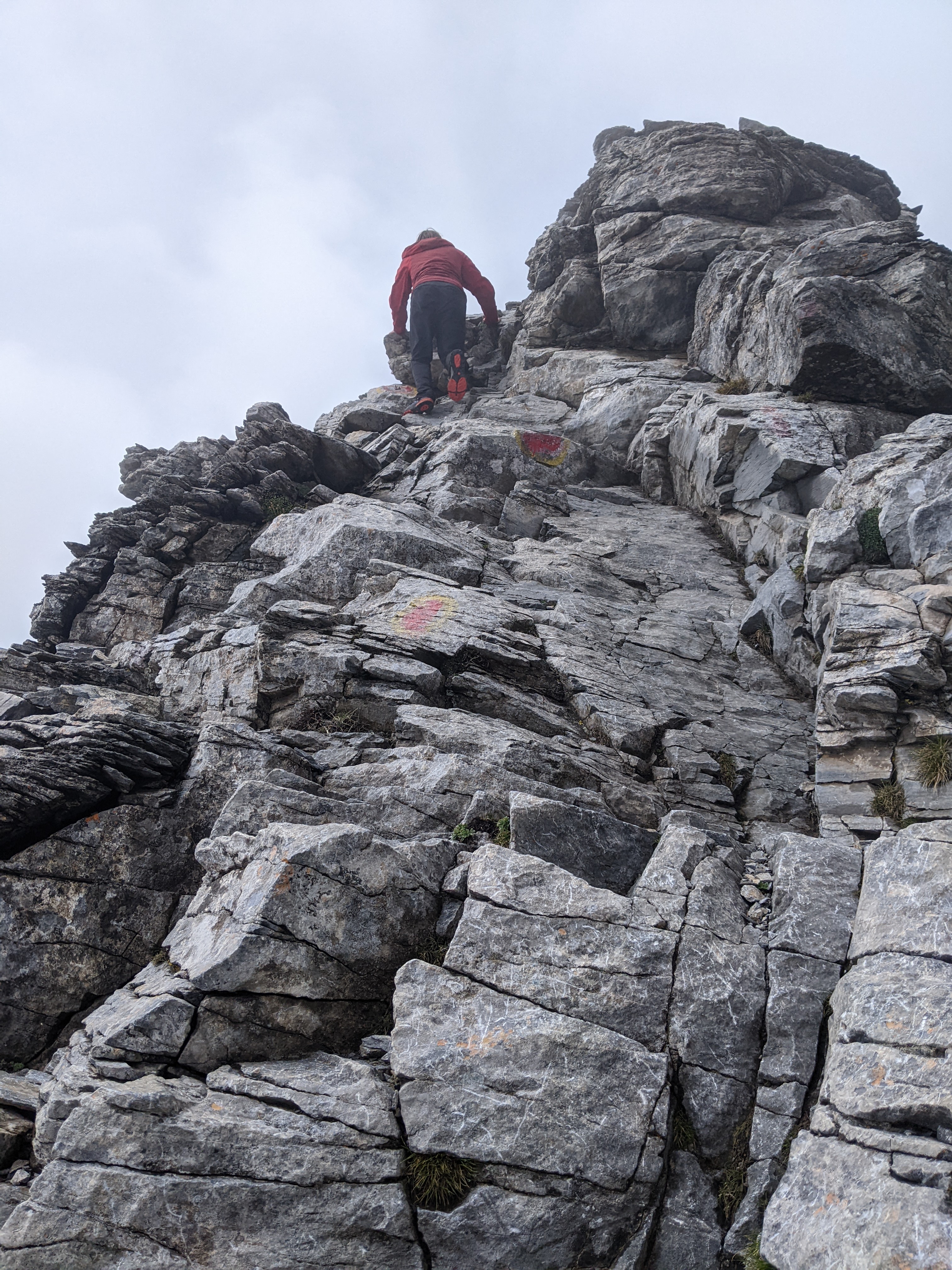
We took the right path towards Mytikas. The terrain here becomes very mountainous, steep, and rocky. At several times, it is an exposed Class III rock scramble. Alex and I are experienced rock climbers and navigated without much difficulty. I found this part of the hike to be quite fun! It felt very remote and rugged, and really felt like we were climbing a mountain.
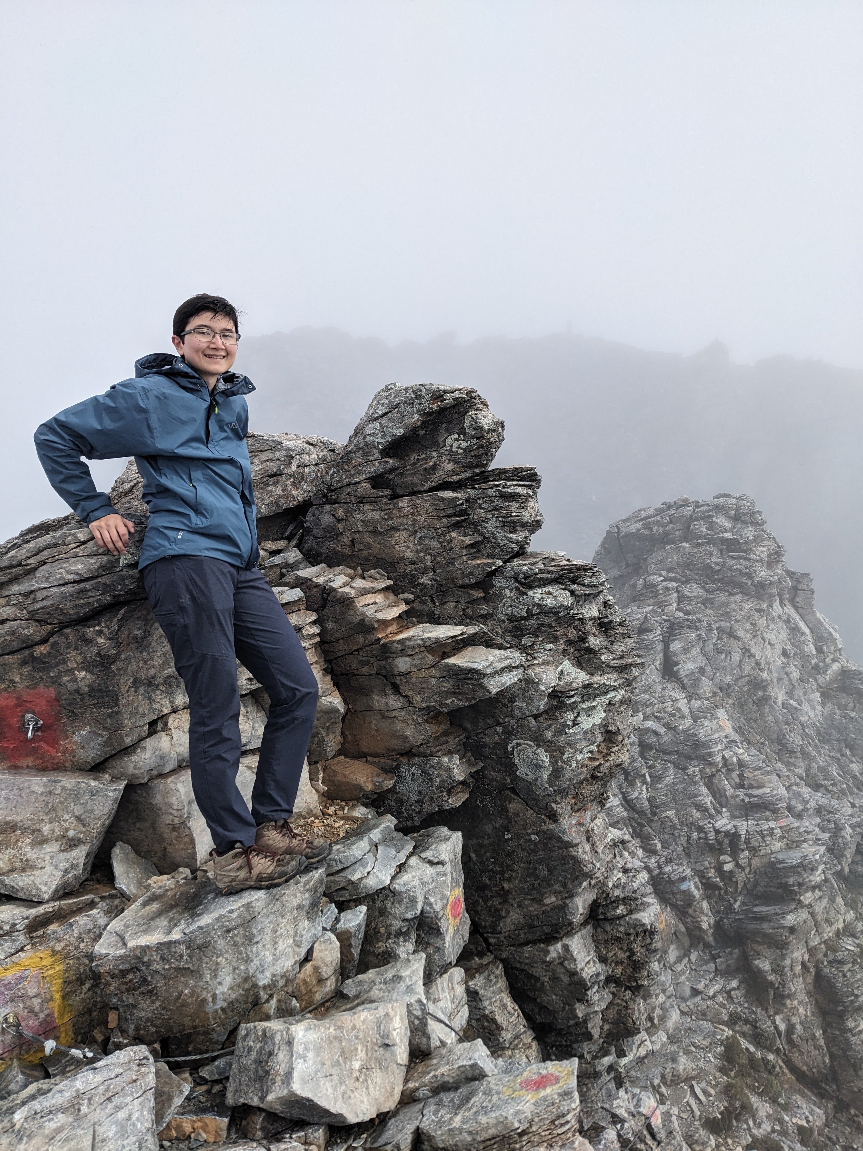
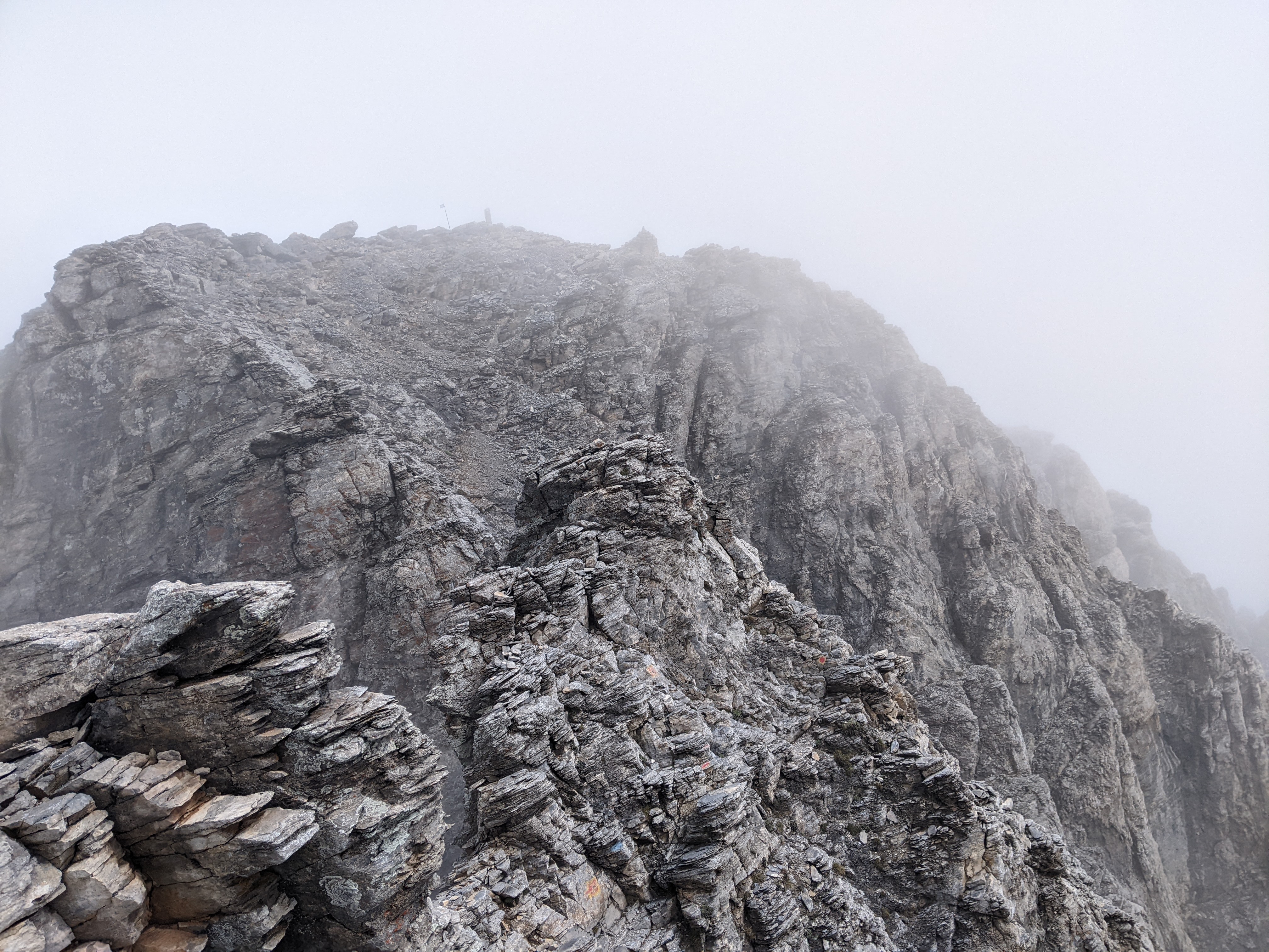
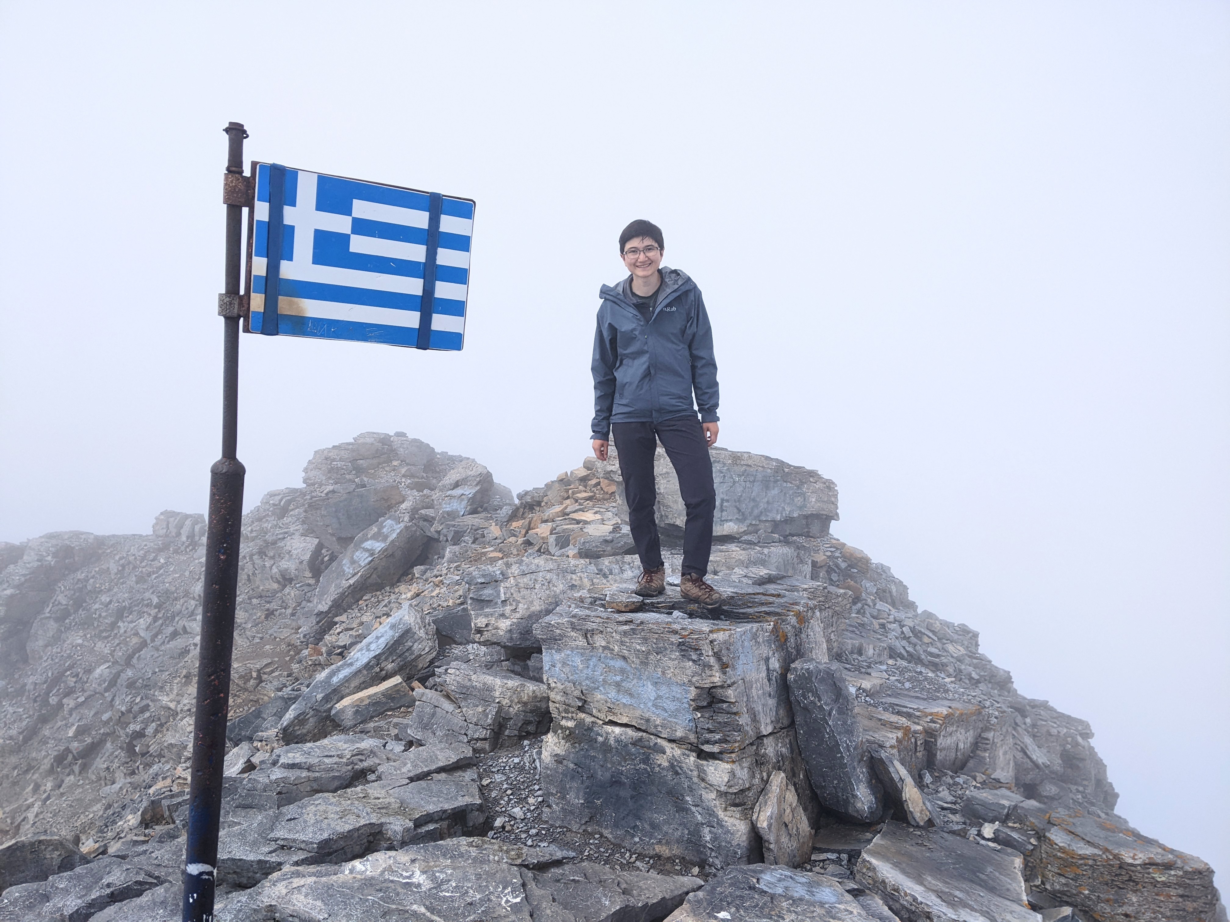
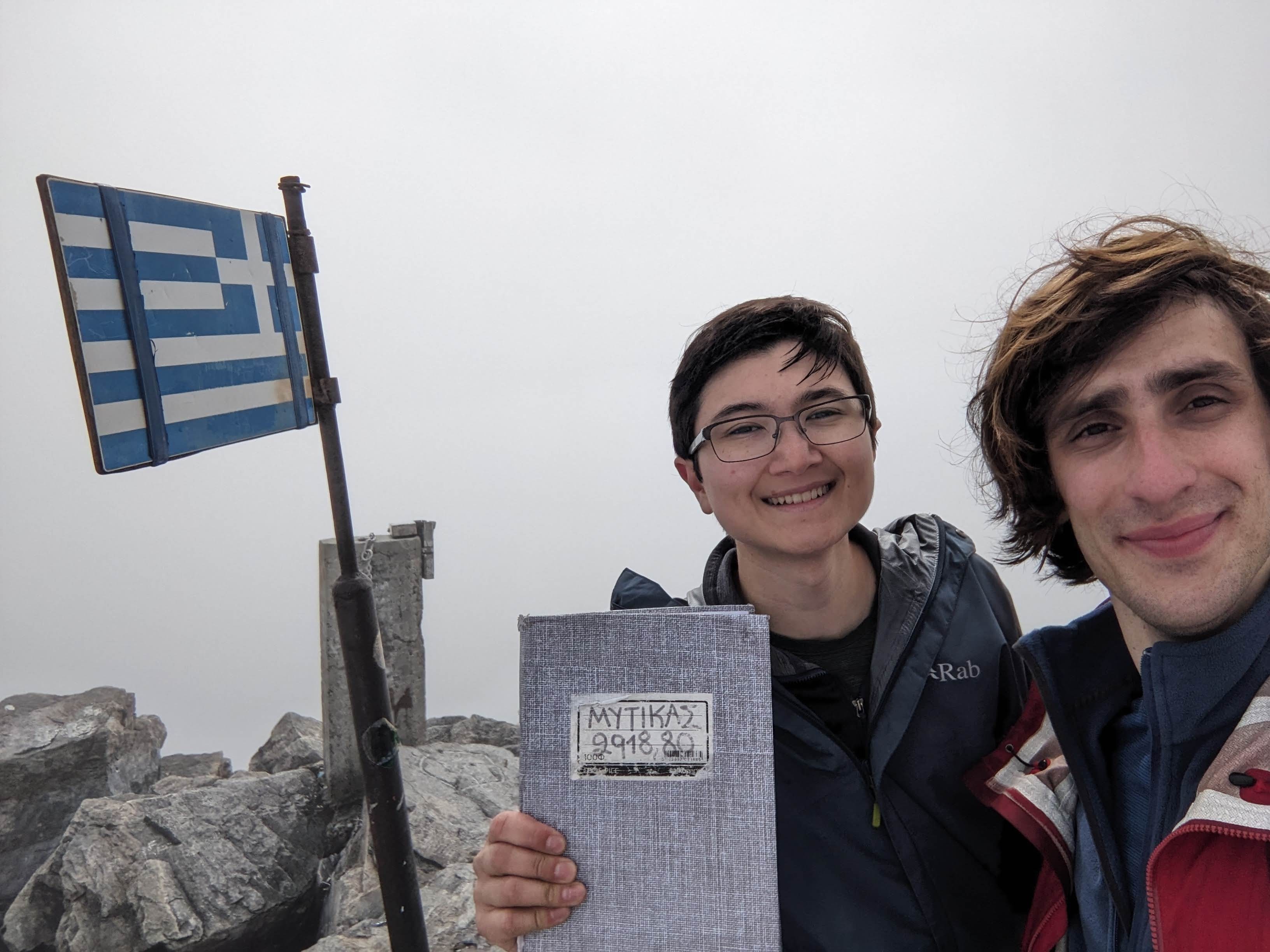
In about 1 hour of scrambling, we reached Mytikas summit (2918m)! Here there is the flag of Greece, a summit register, and a beautiful view.. if only you could see it behind the fog. Nevertheless, we were happy to have made it.
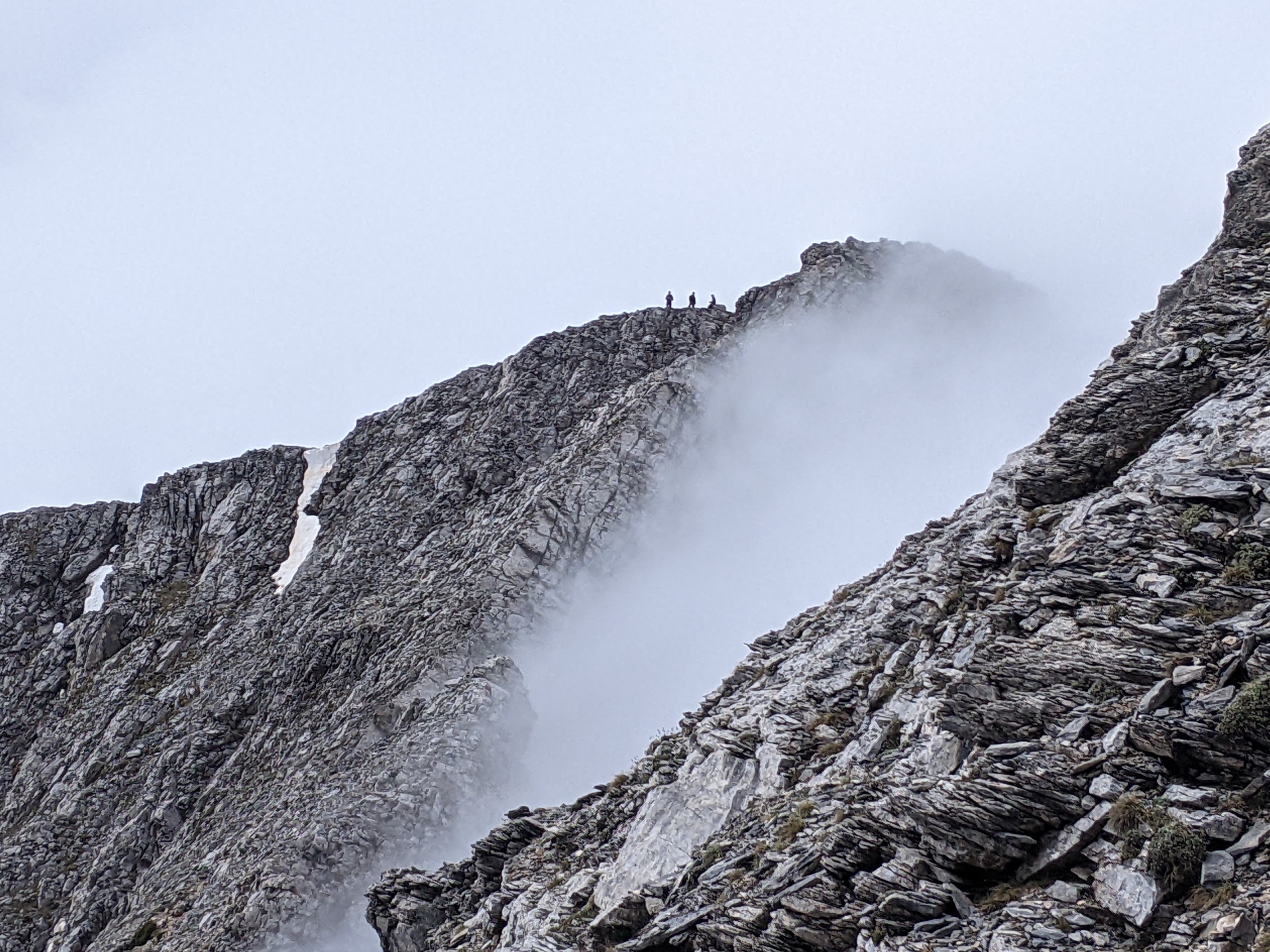
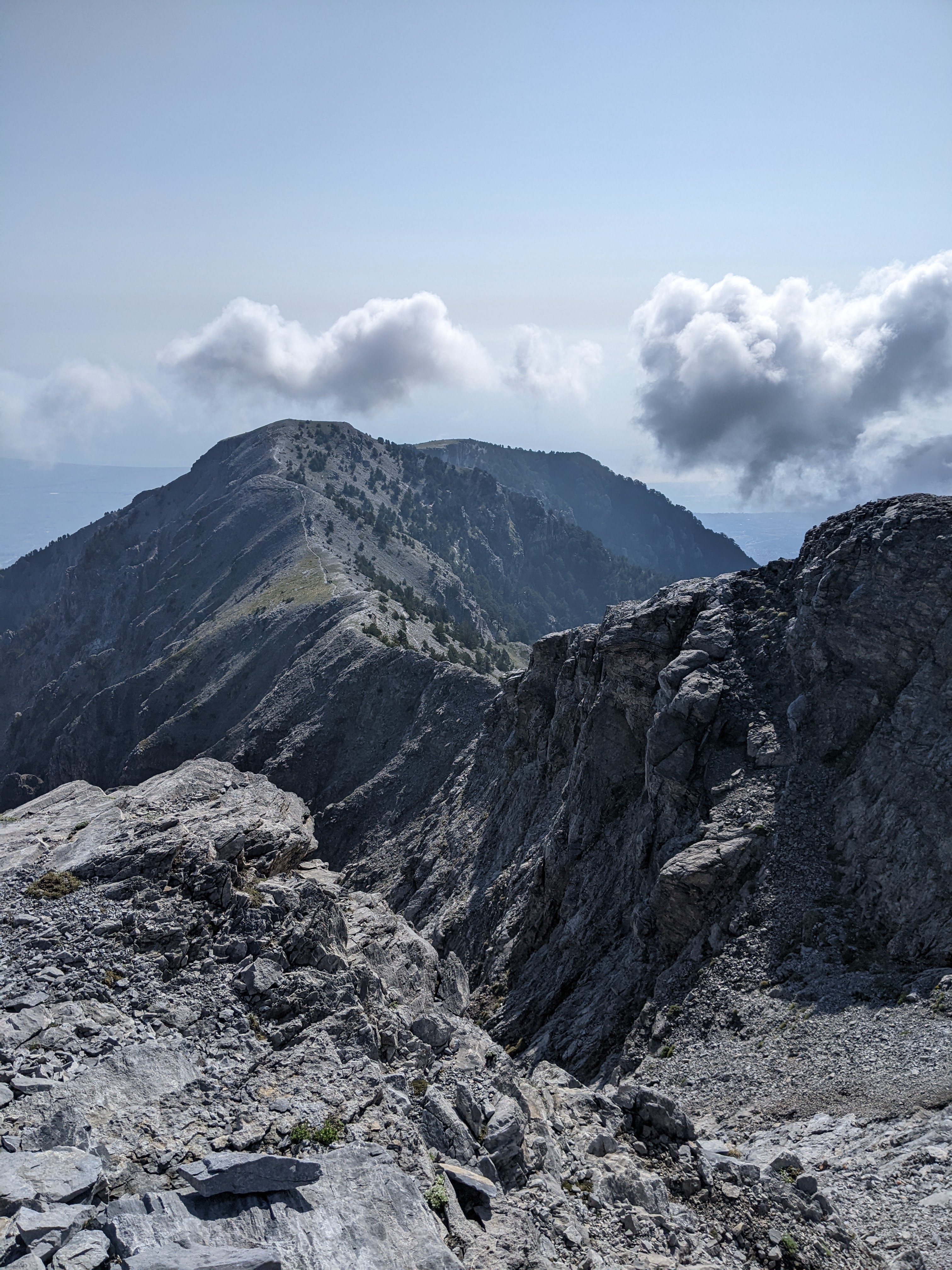
We started hiking back the way we came. The fog cleared up a little (at least to the point where it wasn’t a total whiteout). Skala summit came into view, and I took this photo of 3 other people who had just arrived there, and were preparing to go to Mytikas.
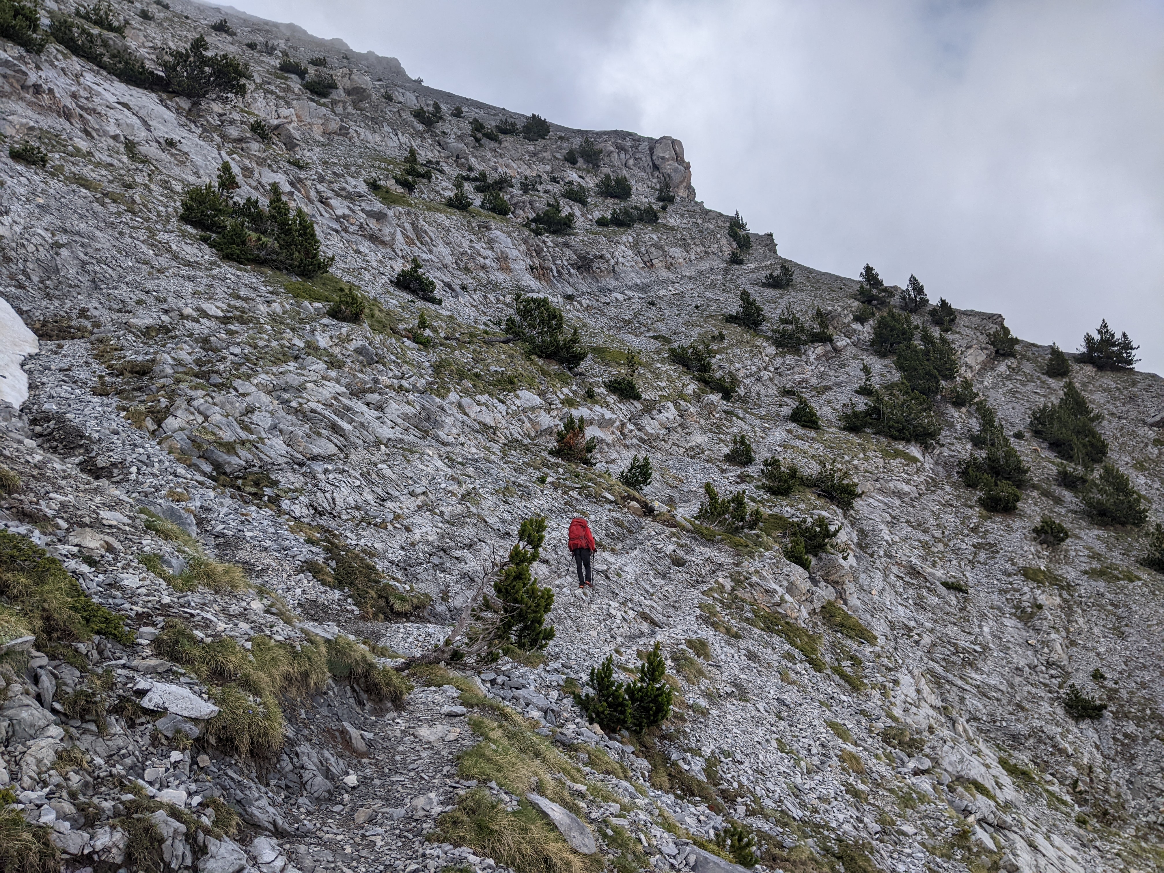
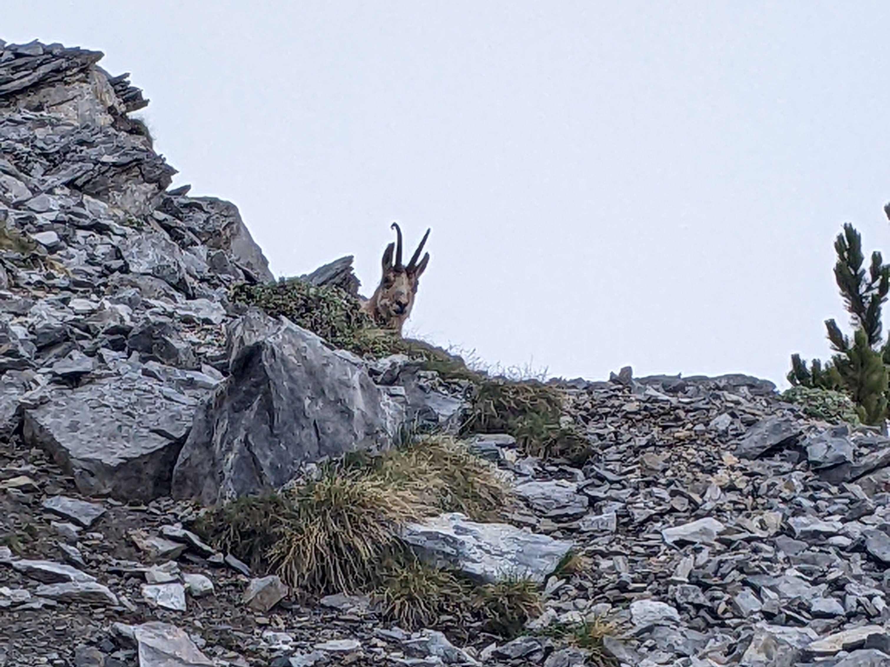
We hiked back down to Agapitos refuge for some lunch, then packed up all our things and headed out again to the next refuge. The Zonaria trail is the typical way across the mountain, but it was inaccessible due to snow and ice conditions, so we took the alternate route Kofto. It was rather difficult to follow in some places, since it is less frequently taken. We helped out a few other hikers who had gotten lost off trail, and decided to hike together with them to the refuge. At one point, we sat down to eat some bars for a snack, and spotted a mountain goat across the way having a snack on some grass as well!
A few hours later, we arrived at the Giosos Apostolidis refuge (2697m). By this point, it was very foggy and cold again, so we were glad to sit by the warm fire inside.
Day 3 - Plateau of the Muses to Gortsia
Distance: 13 km (8 mi)
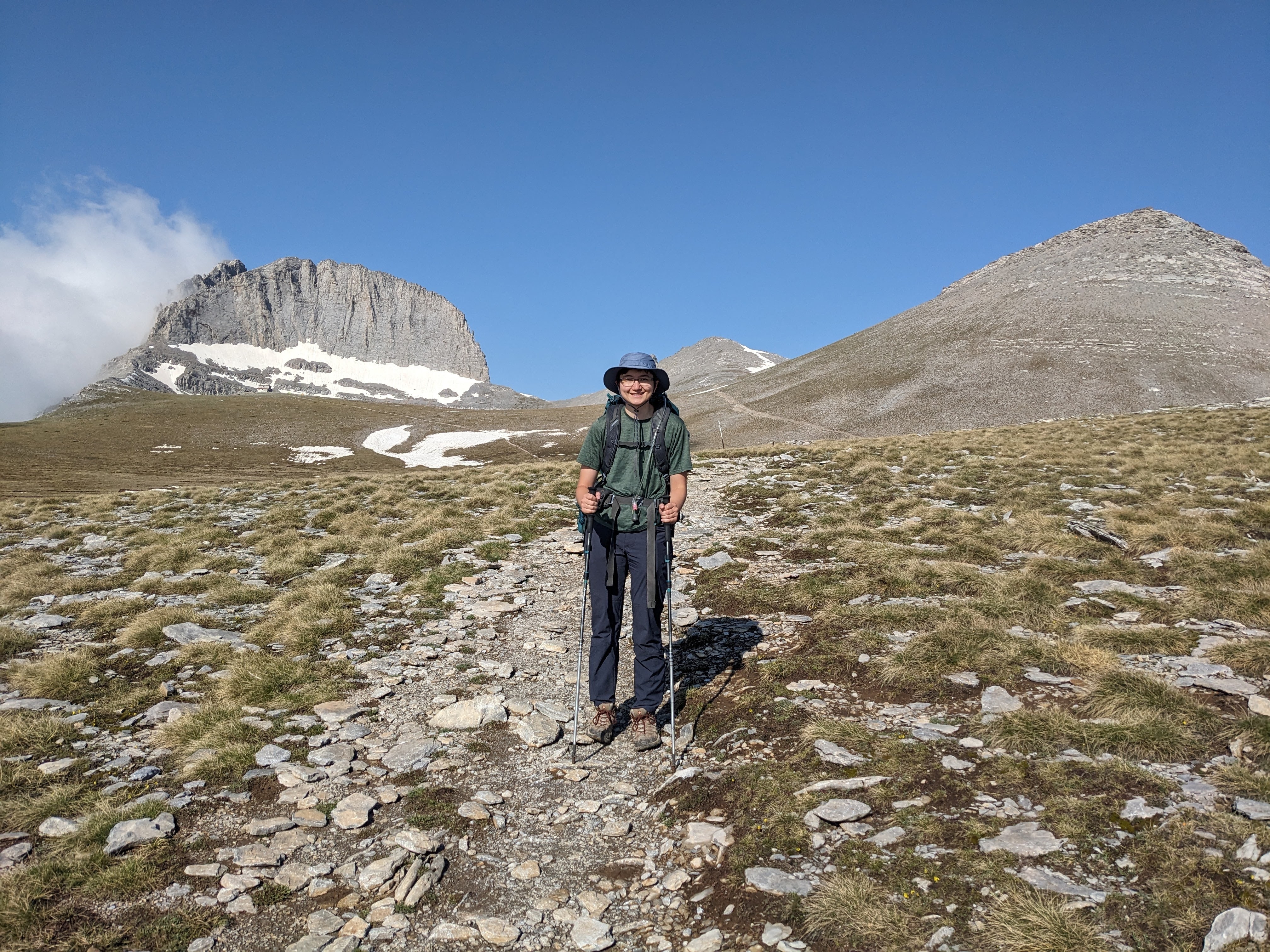
When we woke up in the morning, the fog had finally lifted, and we had our first views of the surrounding landscape – the Plateau of the M uses, the nearby peaks, and the valleys below. We took a quick walk (15 mins) to the top of Prophet Elias, just outside the refuge.
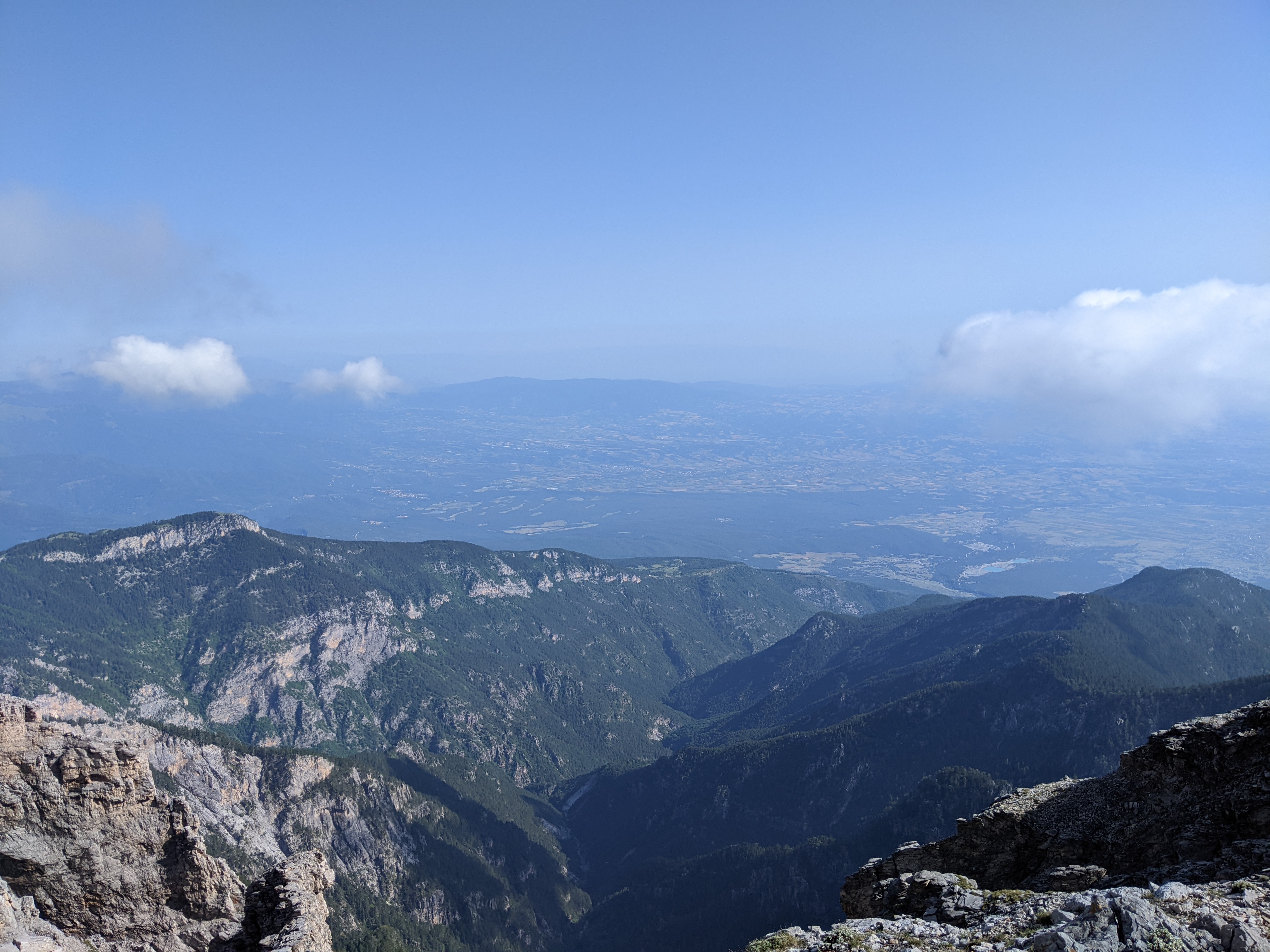
Then we started the trek down the mountain. There is an amazing trail that leads down on top of the ridgeline.
We reached Petrostrouga refuge (1940m) for some lunch. After this, the trail became very muddy, and was less pleasant to hike on, but it was not too hard. In a few hours, we made it out to the Gortsia trailhead (1100m). We had met some hikers doing in a guided group along the way, and they had a driver waiting at the bottom of the hike to pick them up. He kindly drove us back to our car, which was parked a few miles away.
Highlights
I really enjoyed the scrambling section right before the Mytikas summit. It was a fun challenge and not something I had done before.
Challenges
The main challenges were planning around the weather and acquiring reservations for the refuges. The language barrier also sometimes limited communication with other hikers on the mountain.