Mount Conness, West Ridge
Grade: 5.6
Route height: 1500 ft
Time: 8 hours (base to top), 15.5 hours (camp to camp)
---------------
Total distance (incl. backpacking): 21.8 mi
Total elevation gain: ~6000 ft
For my final trip of summer ‘26, I wanted to go Tuolumne Meadows again, part of Yosemite NP and one of my favorite places in California. Alex suggested that we climb Mount Conness, one of the highest peaks in Yosemite.
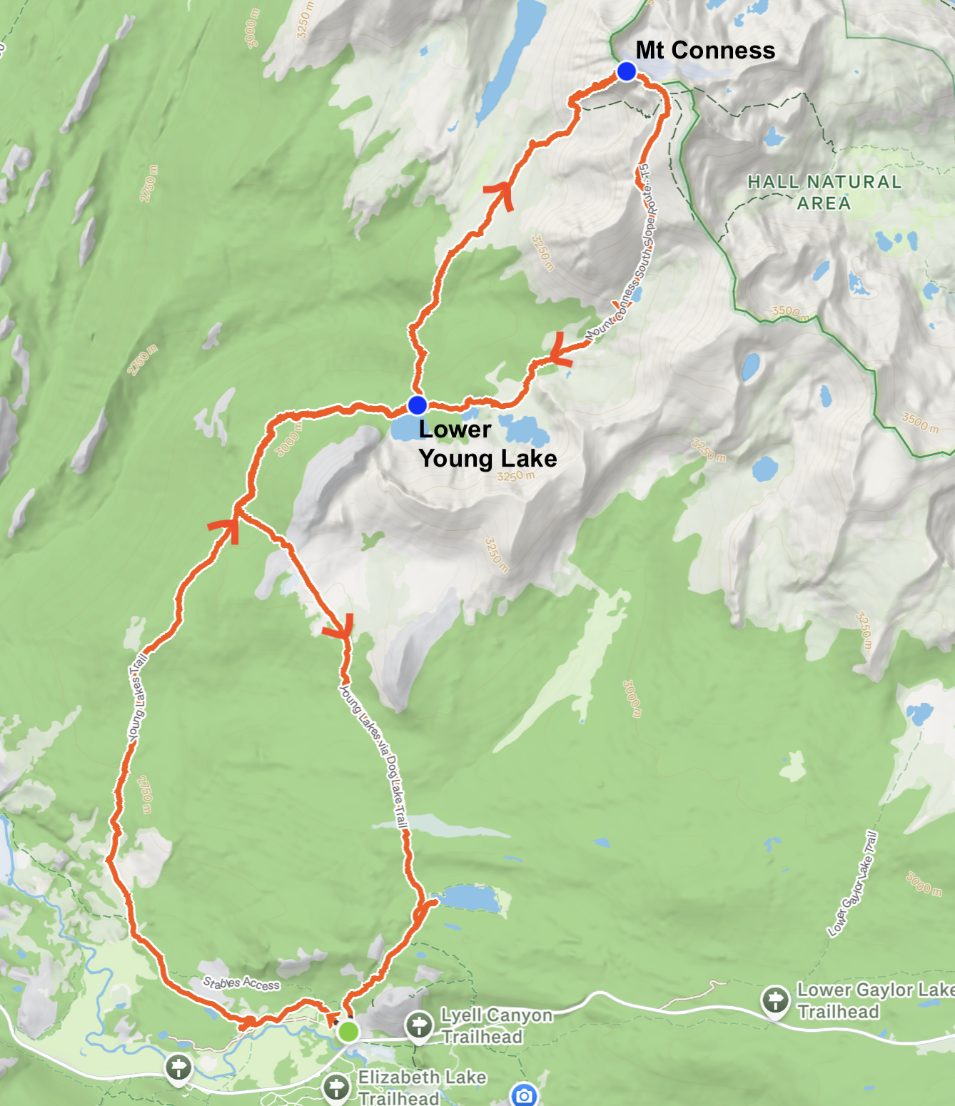
We decided to approach Mount Conness via the Young Lakes route, which requires backpacking in for several miles to camp at Young Lakes the night before the climb. We picked up a wilderness permit for “Young Lakes via Glen Aulin” exactly 1 week before the trip.
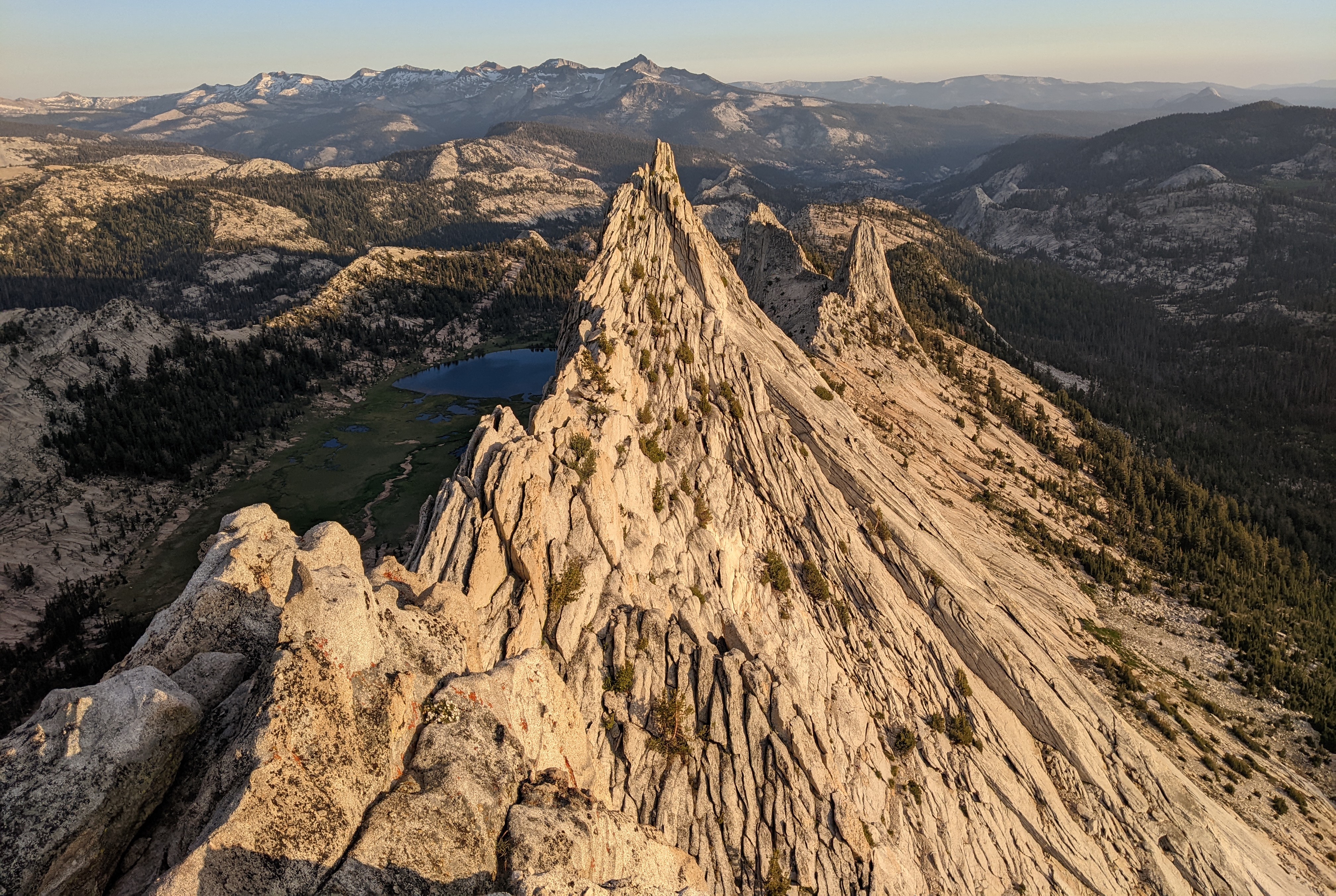
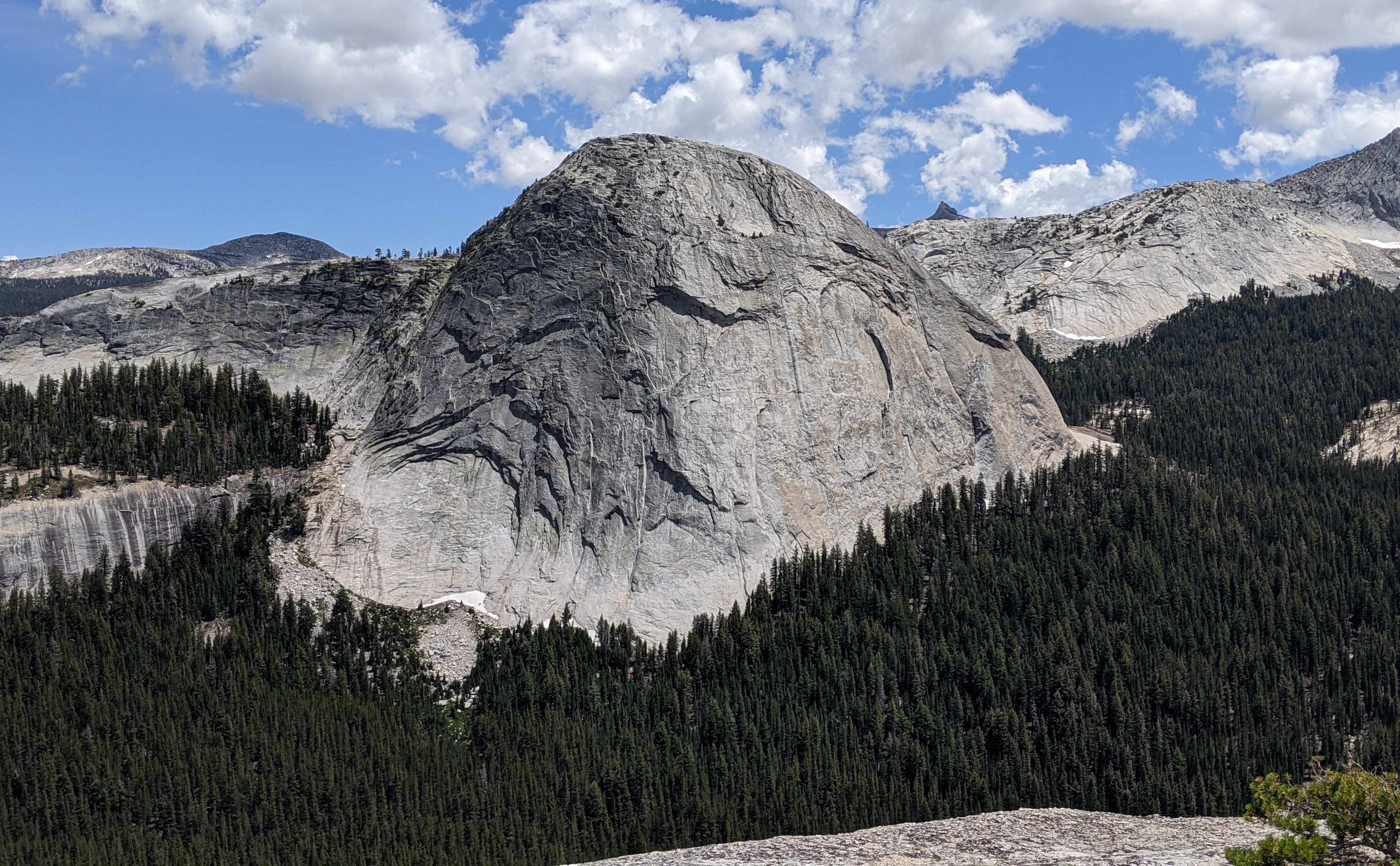
We started off the trip with climb up Mariolumne Dome via Valinor (5.10b) into Hobbit Book (5.7), which gave us excellent views of Mount Conness across the meadows. Then we stayed in the Tuolumne Meadows backpackers’ campground (thankfully this is included with the wilderness permit and doesn’t need a separate reservation).
Day 1
We slept in since we only had a 7ish mile hike into Young Lakes and we wanted to make sure we got enough sleep for the days to come. We got up around 9:30am, ordered some pancakes for breakfast from the TM grill, and packed up our bags. Alex only had his 40L alpine pack, while I had my 60L backpacking bag, so I took most of the camping gear and food (bulky) and Alex took most of the climbing gear (smaller but more dense). We didn’t have a scale but I think we probably each had over 35 pounds.
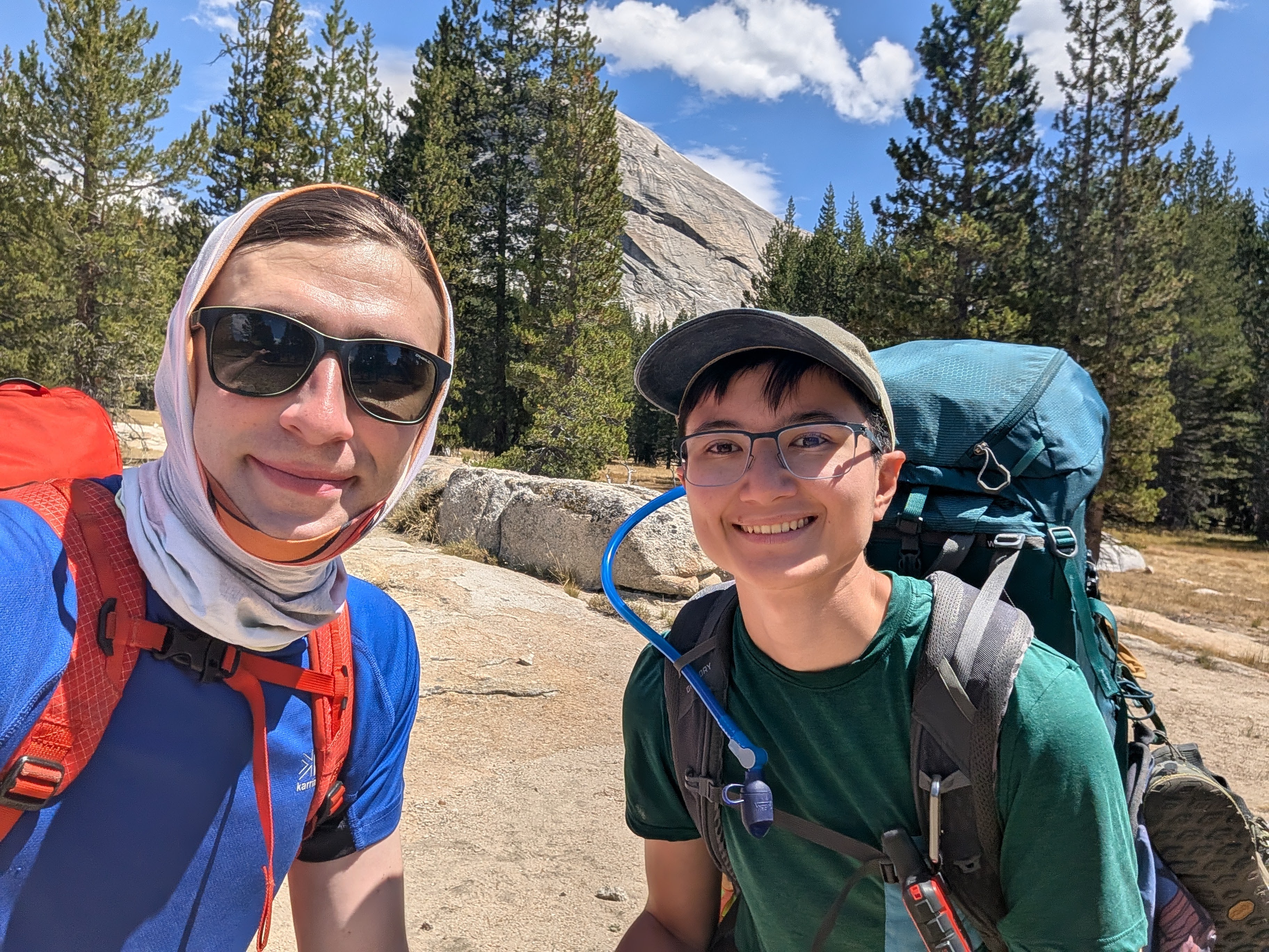
We started at the Lembert Dome parking area and started hiking around 12:30pm. It was pretty hot in the midday sun, but thankfully the trail was fairly shaded.
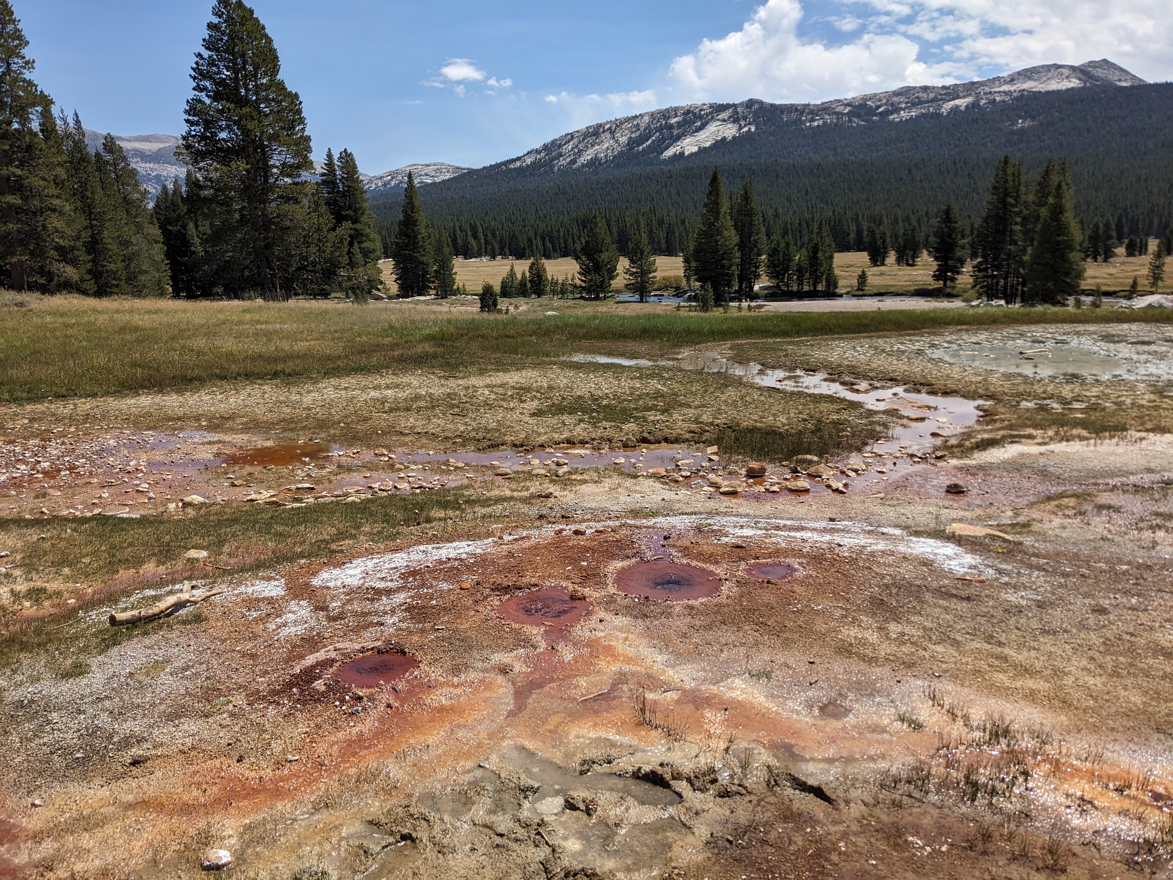
We took a quick detour to see the Soda Springs since we hadn’t been there before. The Soda Springs are naturally occuring carbonated water, with a bit of a smell of sulfur; it’s like a mini Yellowstone in Yosemite.
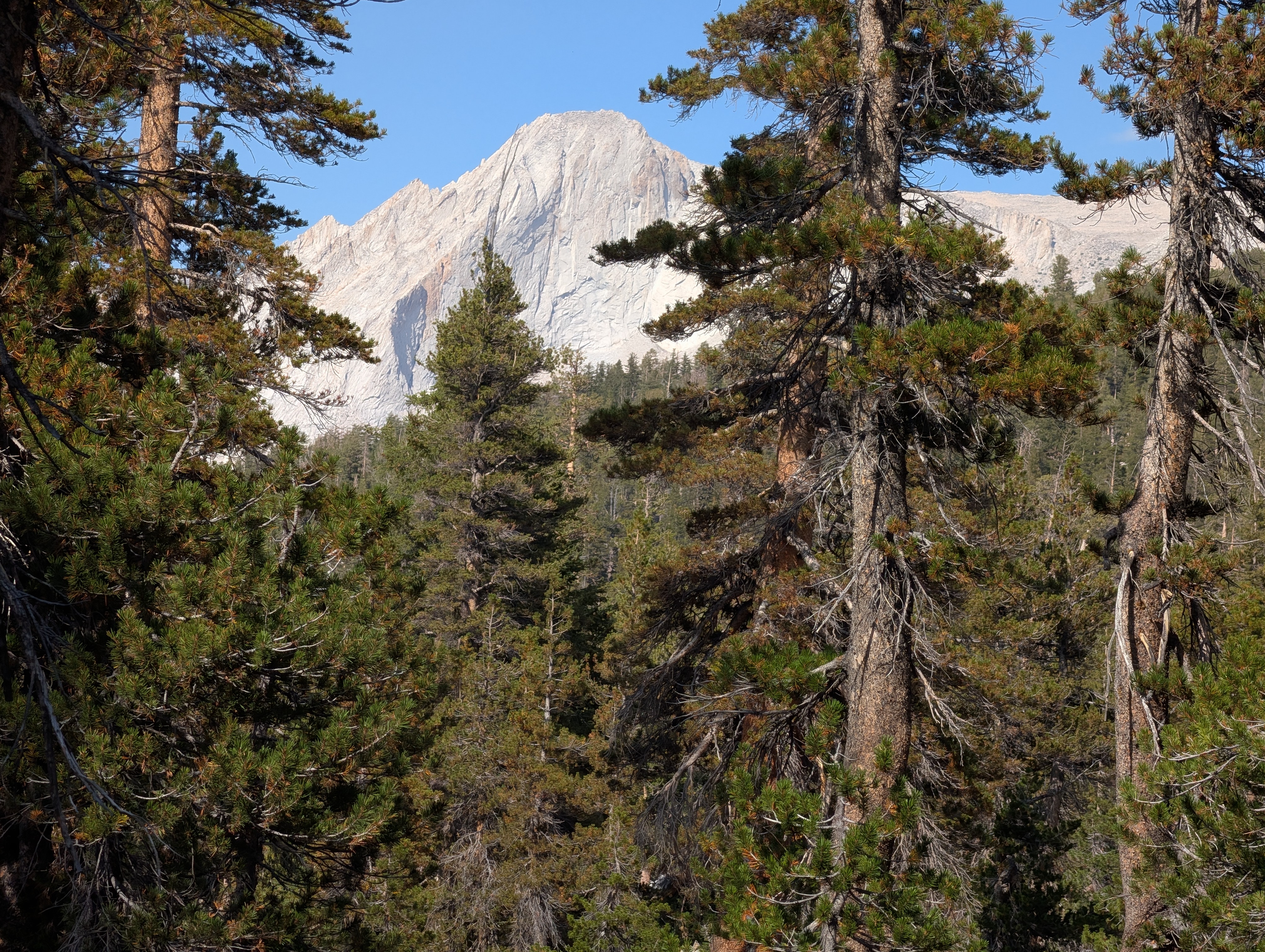
We hiked on a mostly gentle uphill slope through the forest for a while. Alex didn’t have his hiking poles and was borrowing one of mine, but with only one pole I was struggling on some of the uphill sections. Eventually I reclaimed my pole from him, but I found him a nice hiking stick to use instead.
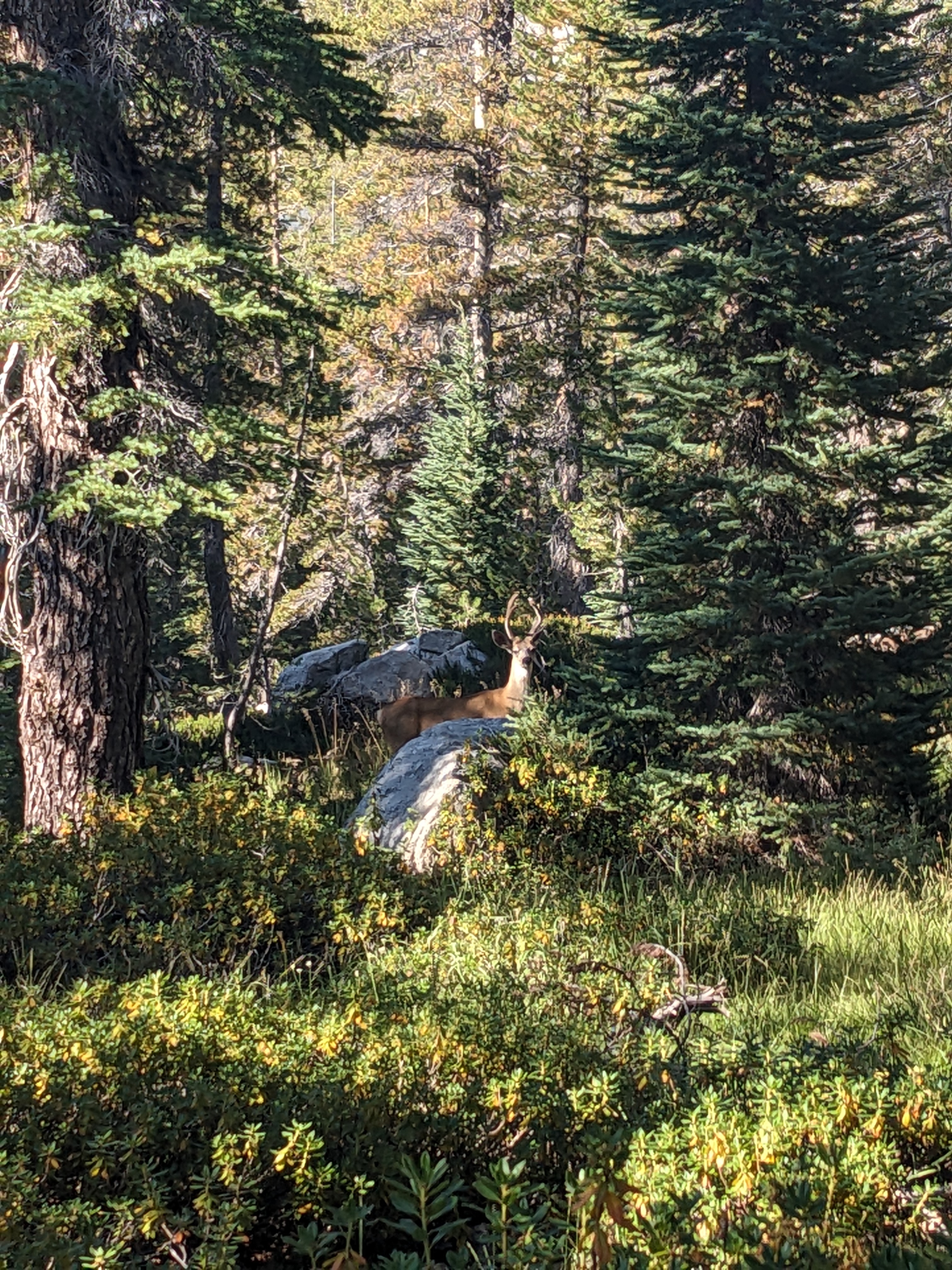
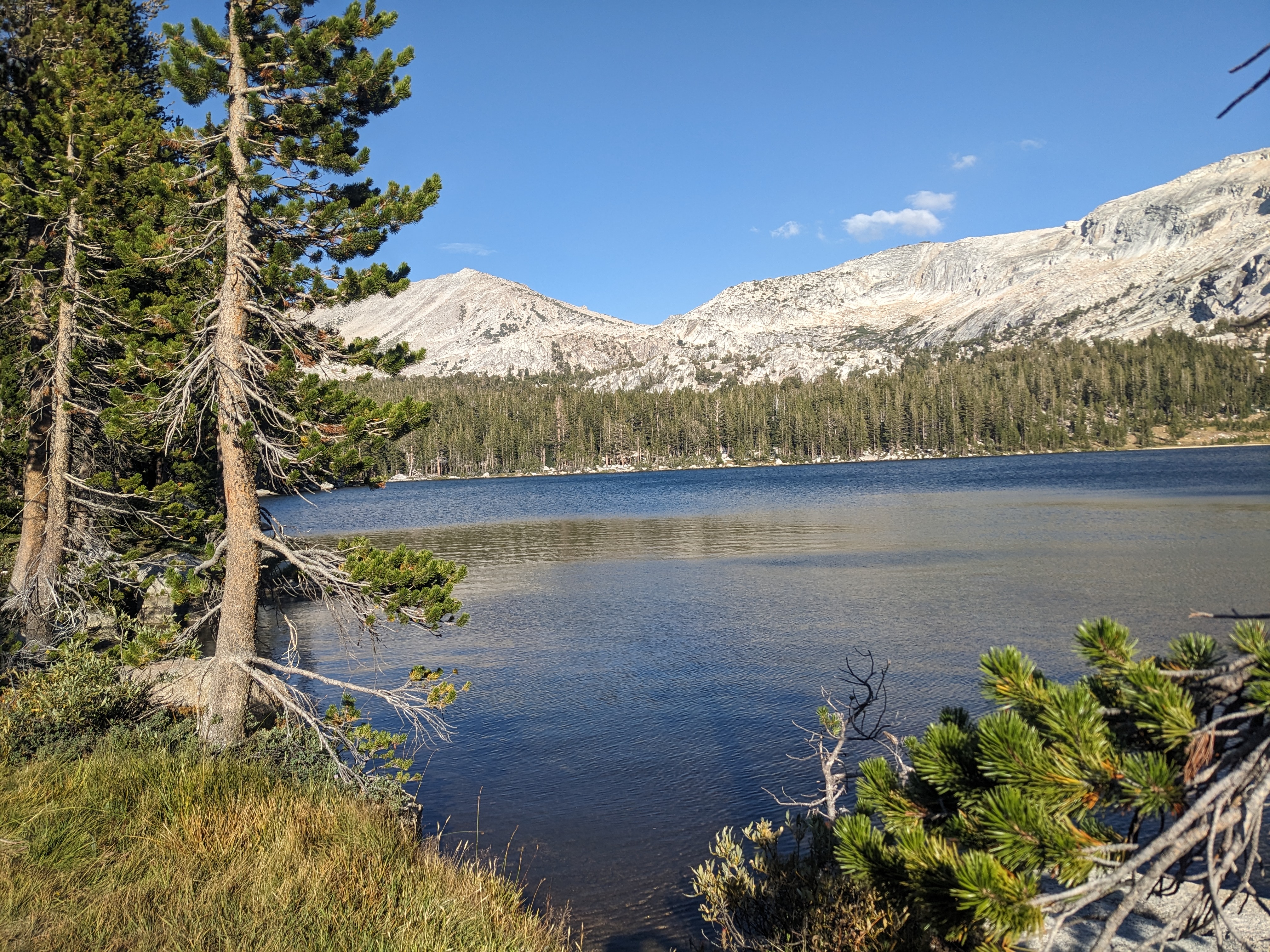
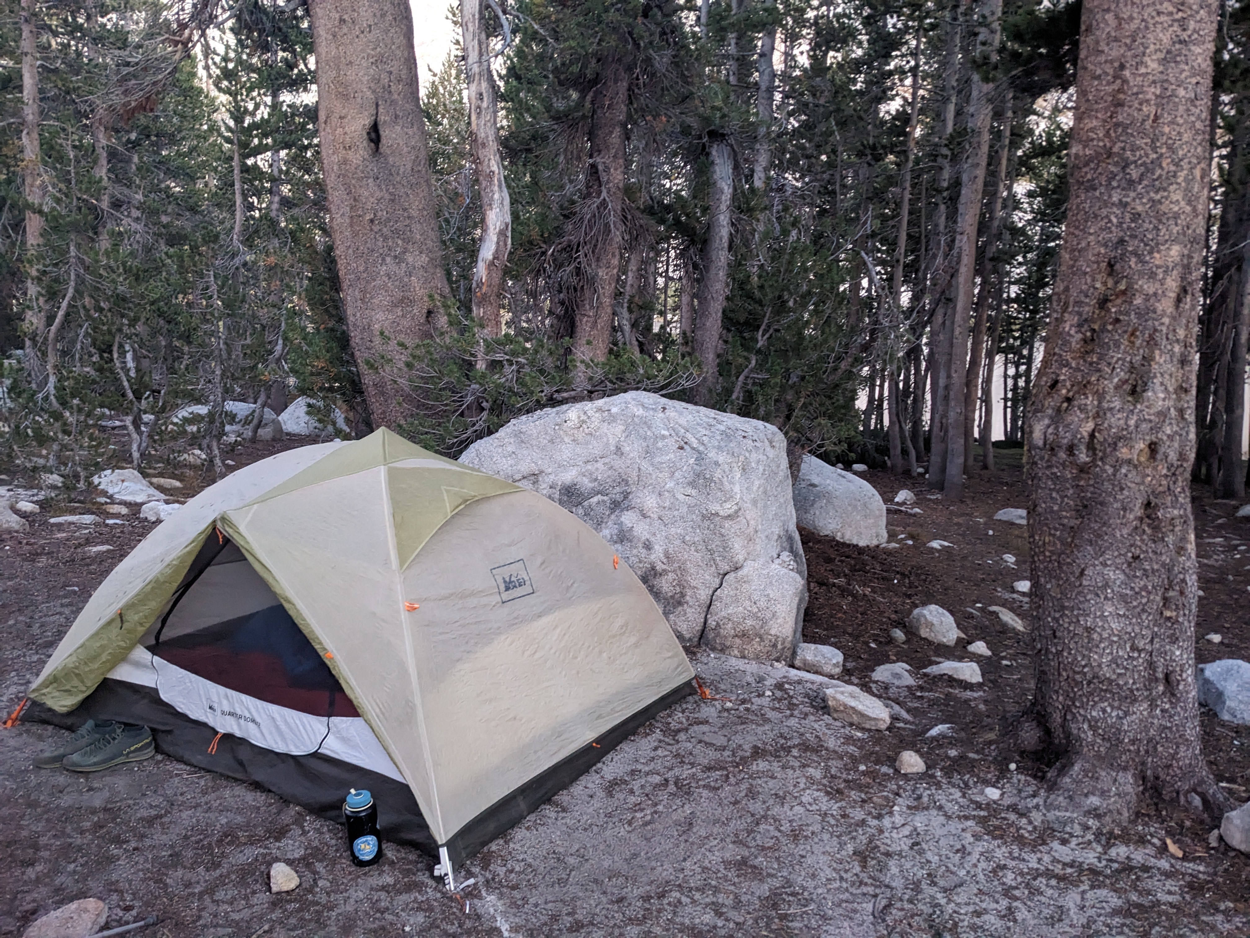
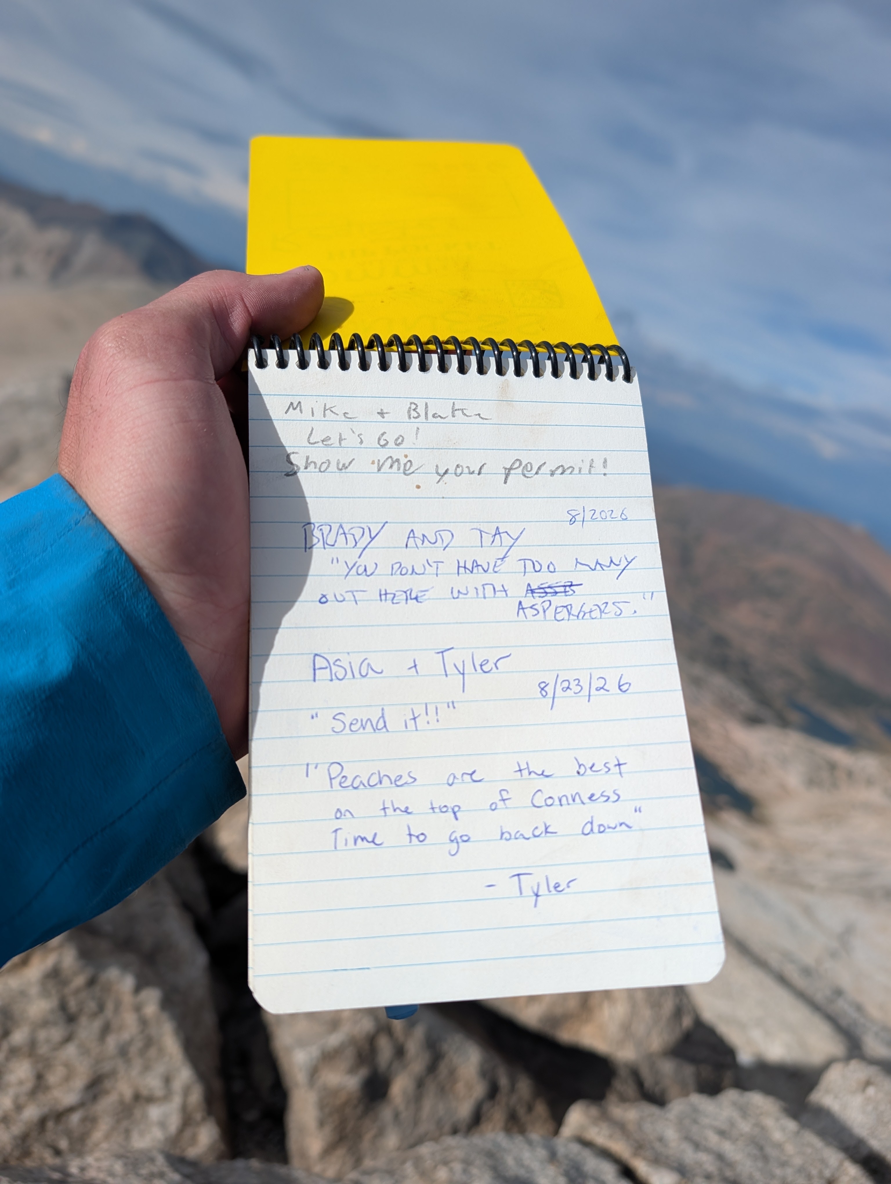
We reached Lower Young Lake around 5:30pm and found a nice spot to setup camp. Then we went to hang out by the lake for a bit and filter some water. It’s a pretty lake, clear and blue. On the way back to our campsite, we met a ranger named Mike. He asked to see our permit, but we didn’t have it with us since it was back at camp, and he said that was fine.
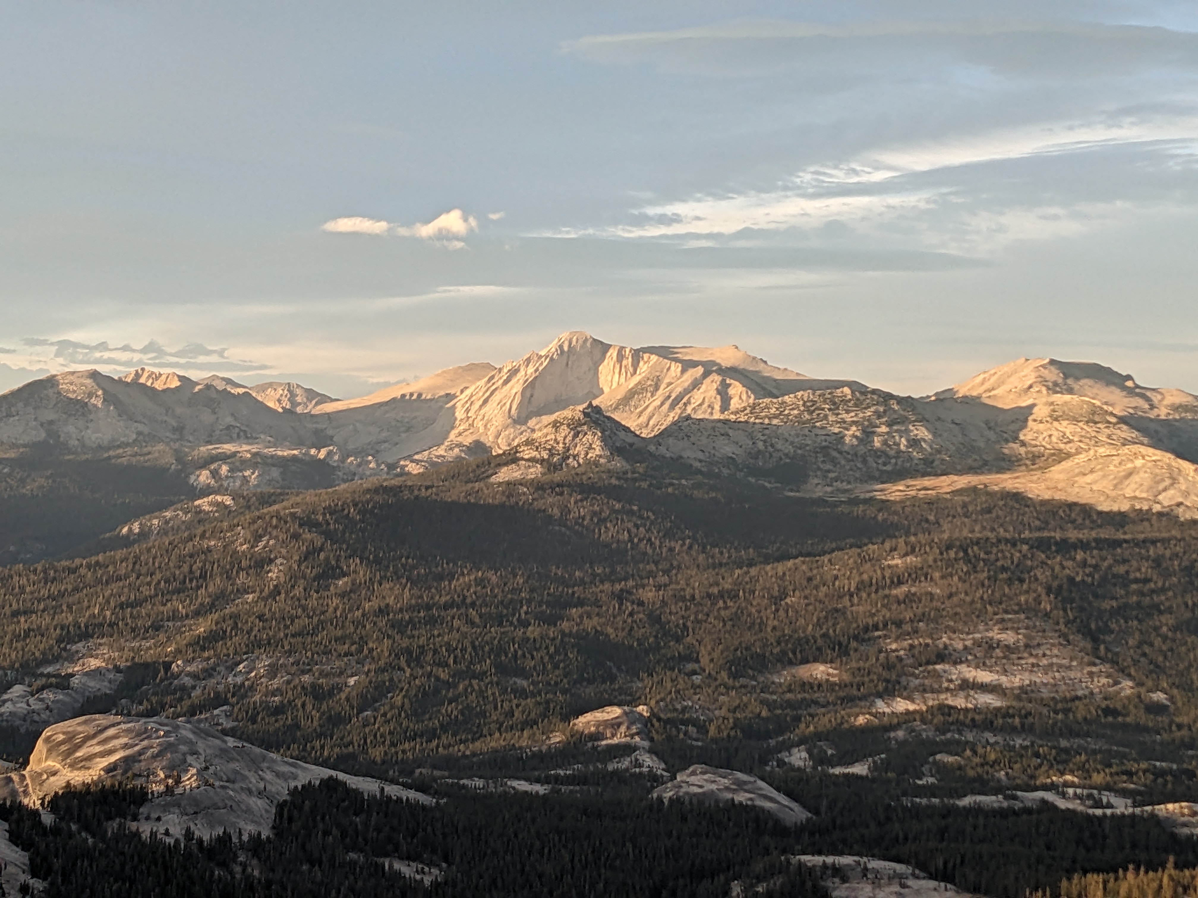
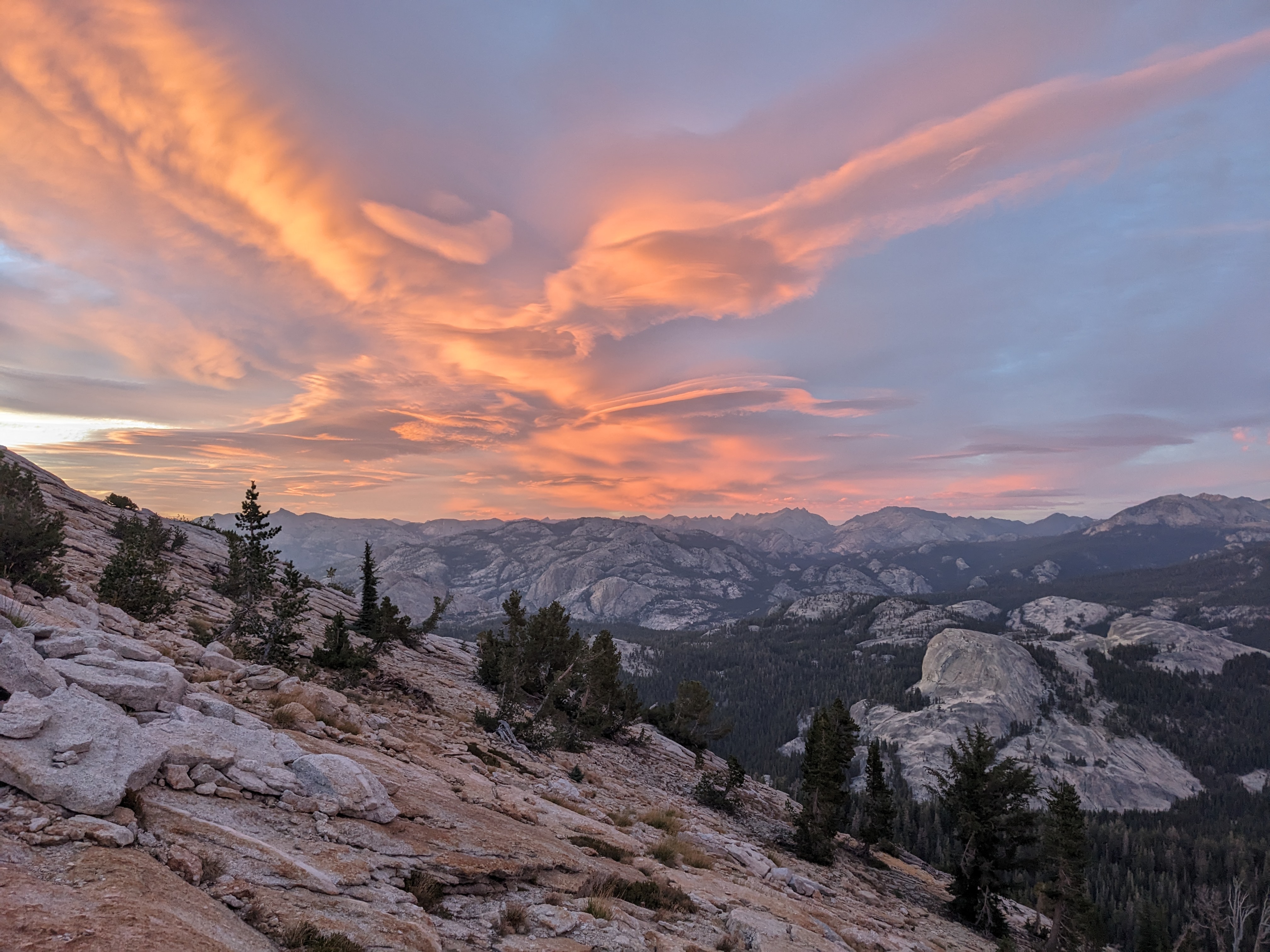
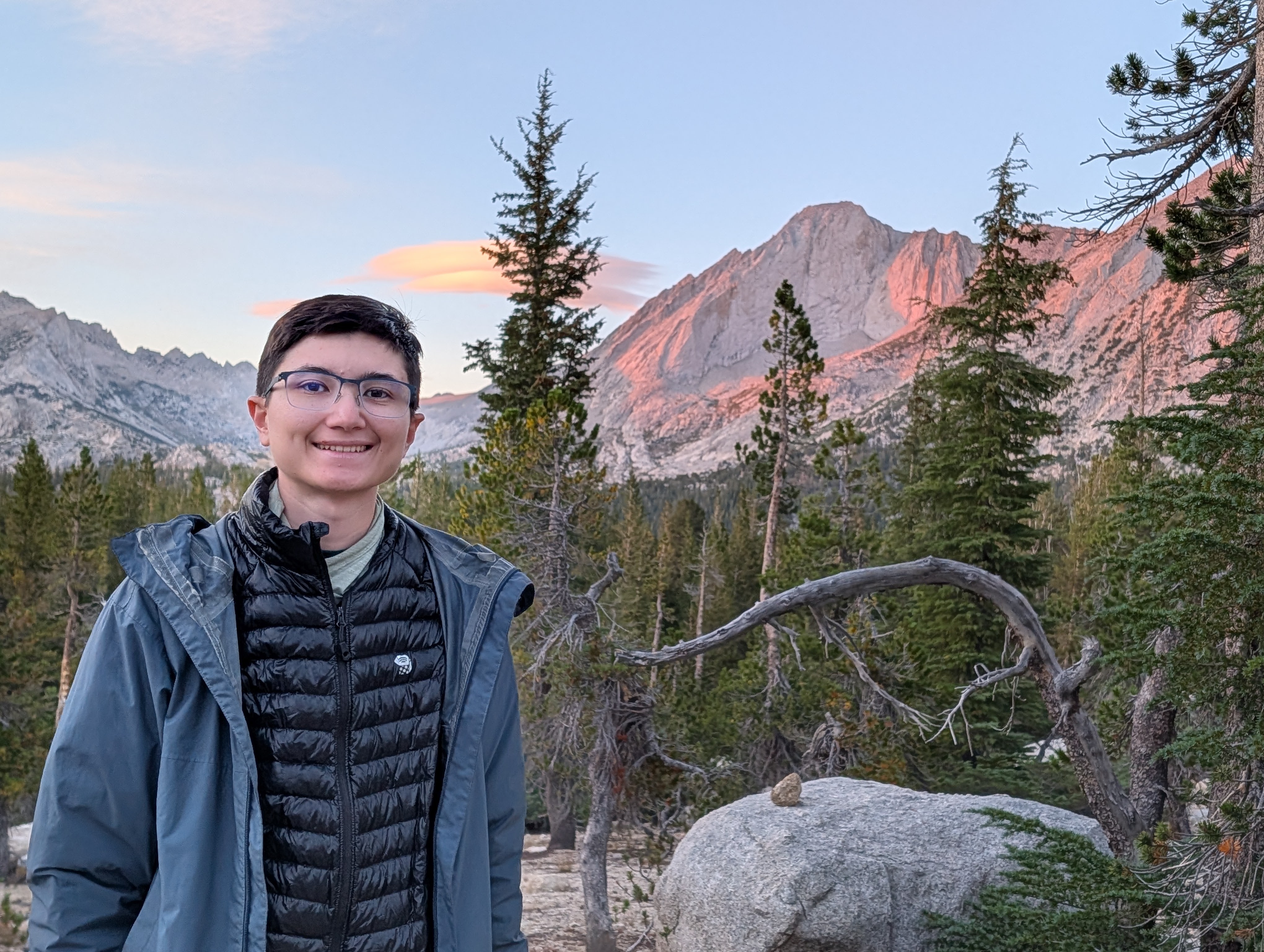
We could see the sunset on Mount Conness from the camp area. Then it was time for dinner and bed since we were planning an early start the next morning.
Day 2
We woke up around 4:45am. We cooked oatmeal for breakfast, filtered more water from the lake, and packed up our bags to head out. Alex carried his alpine pack with the trad gear, while I used my small daypack and carried the rope on top. I wondered to Alex if we needed to bring our permit with us on the climb, since technically it said to keep it with you at all times on the trip. Alex replied “No, we’re not going to see Mike climbing on Mount Conness.” We settled for taking a picture of the permit just in case.
Neither of us have done the route before, and it is mostly off-trail navigation to get there. So armed with GPS and a vague description, we set off from camp at 6am following a stream. Eventually we reached a meadow with Mount Conness clearly visible, and at this point we could easily see where we needed to go.
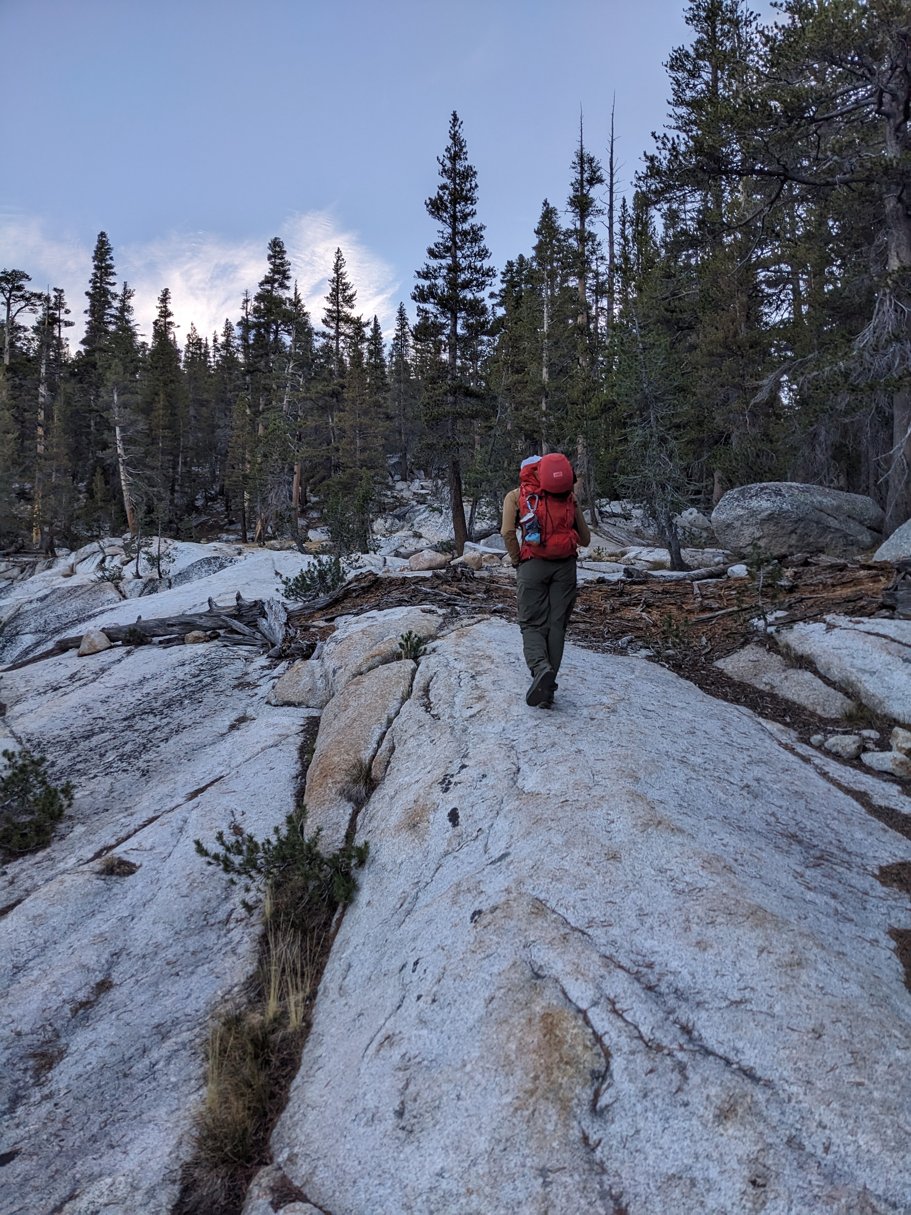
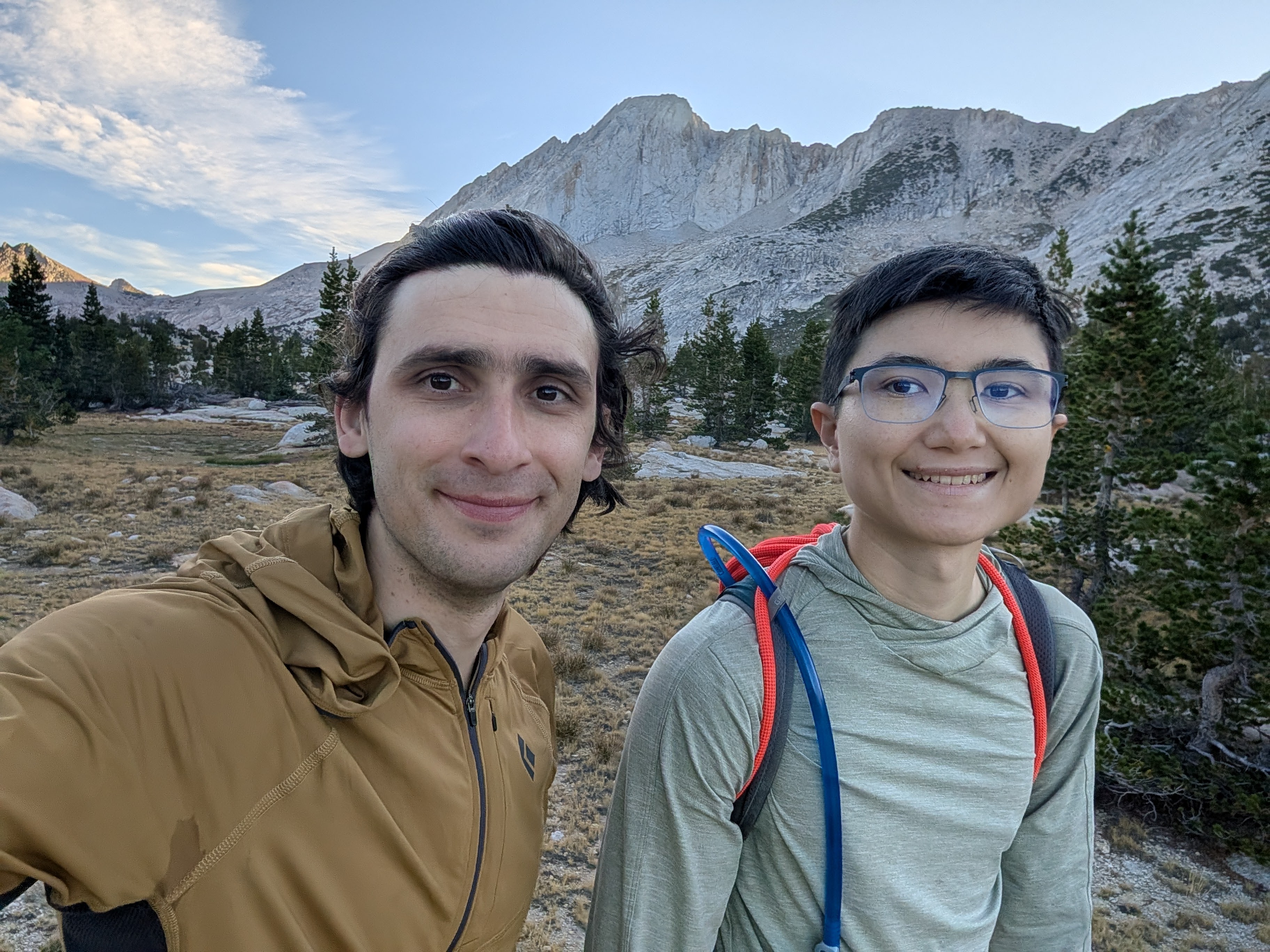
Being rather tired, not knowing the approach, and the elevation (we were at 10k-11k feet) made us hike pretty slowly and we reached the base of the route around 9am. Just as we were reaching the base, another party of 2 caught up to us. It turned out to be ranger Mike and his ranger friend, Blake! They were heading to climb the same route as us. I laughed because of what Alex had confidently said earlier about not seeing Mike while climbing…
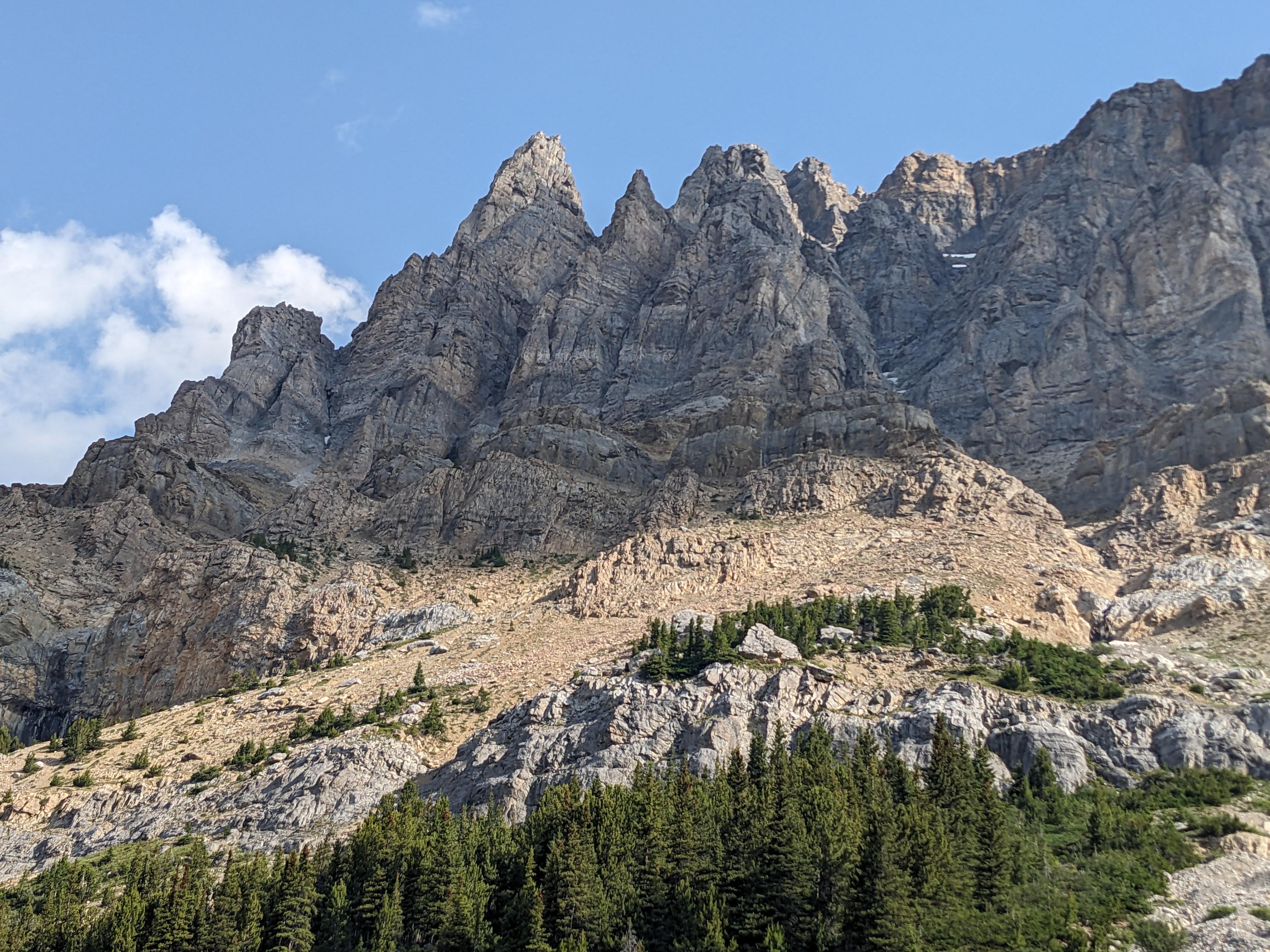
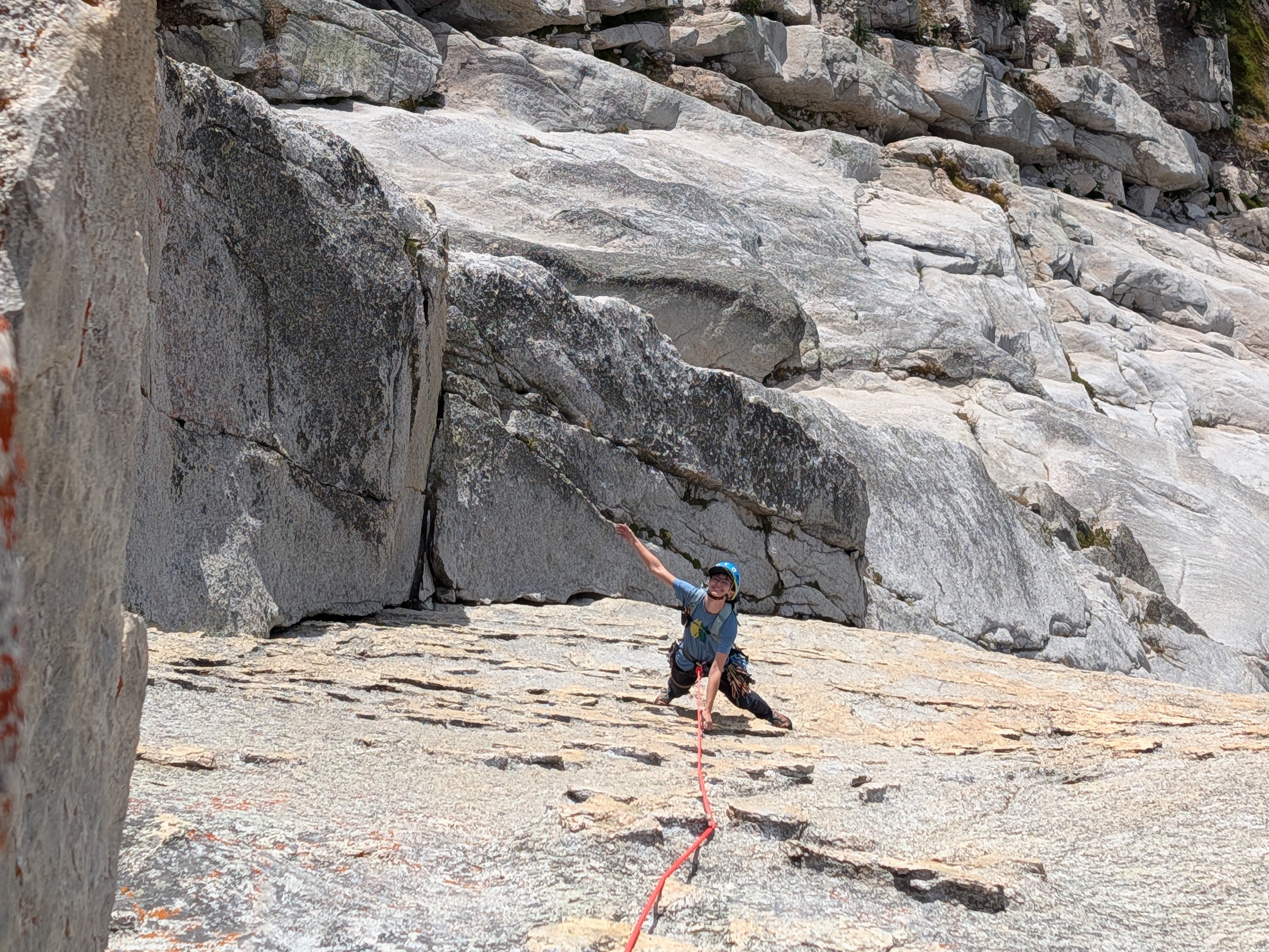
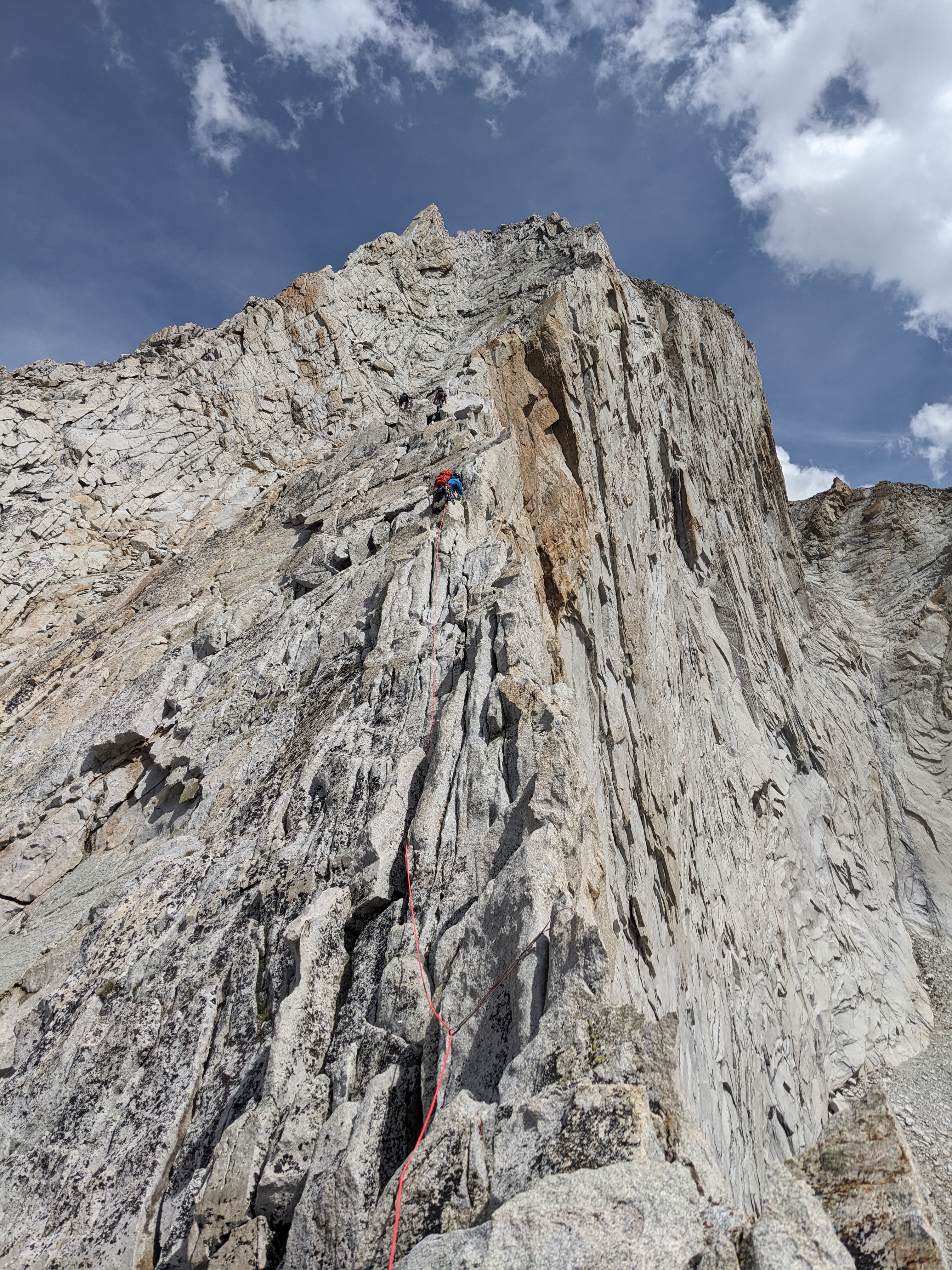
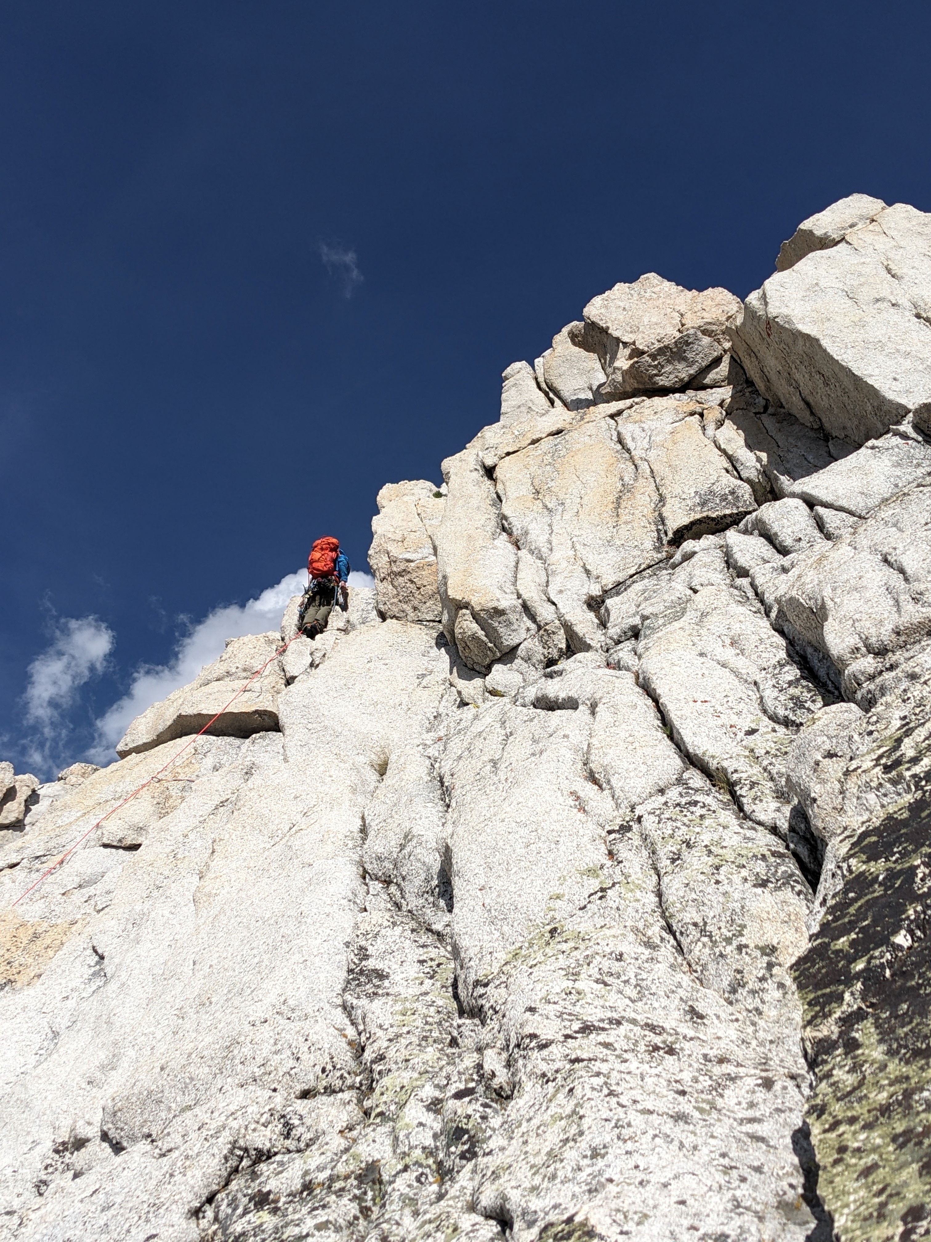
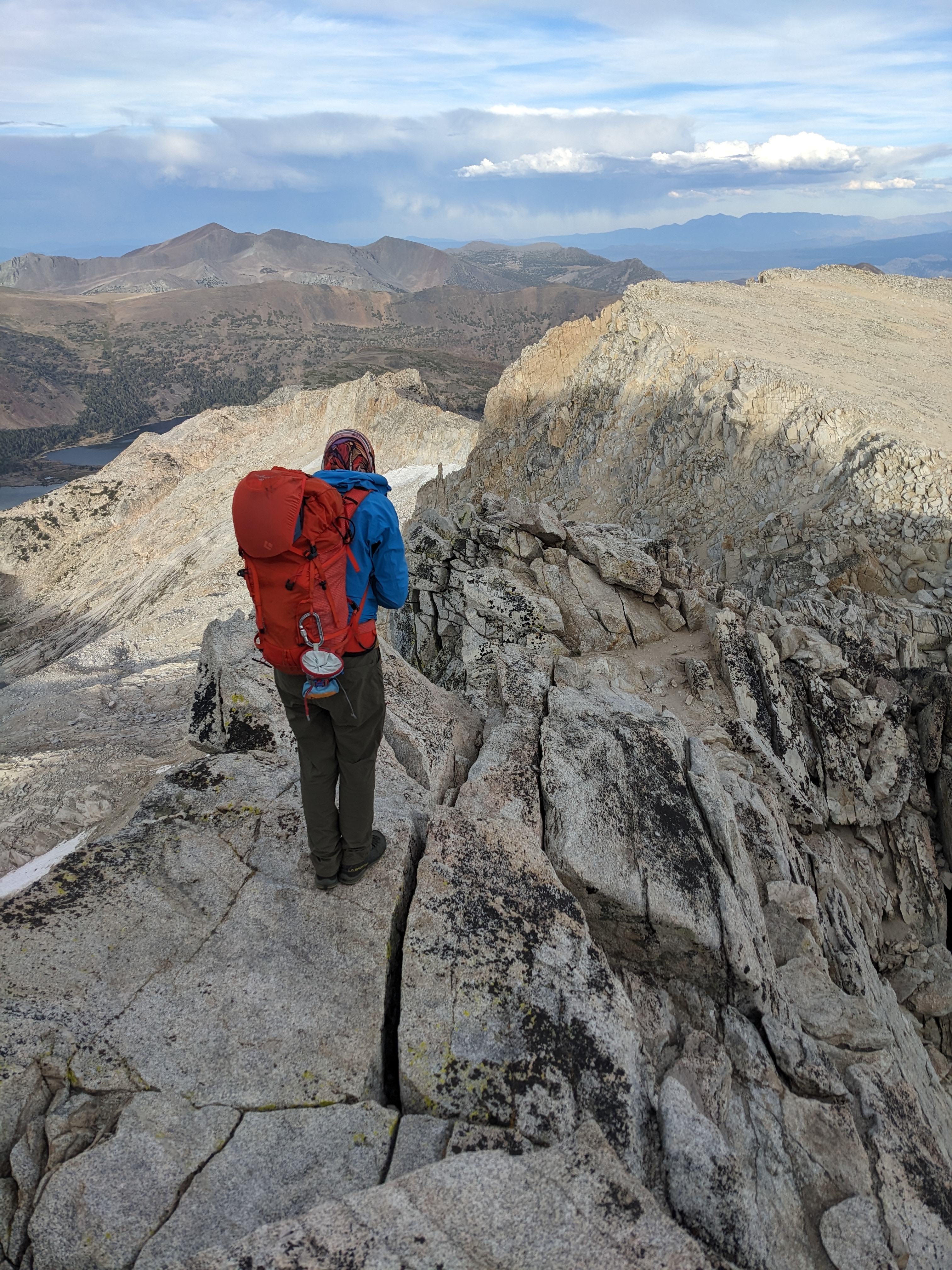
We started climbing at 9:30 with Alex leading the first pitch, and swapping leads for the first 4 pitches. The West Ridge route basically stays on the ridgeline for the whole way, with some wild sections of exposure.
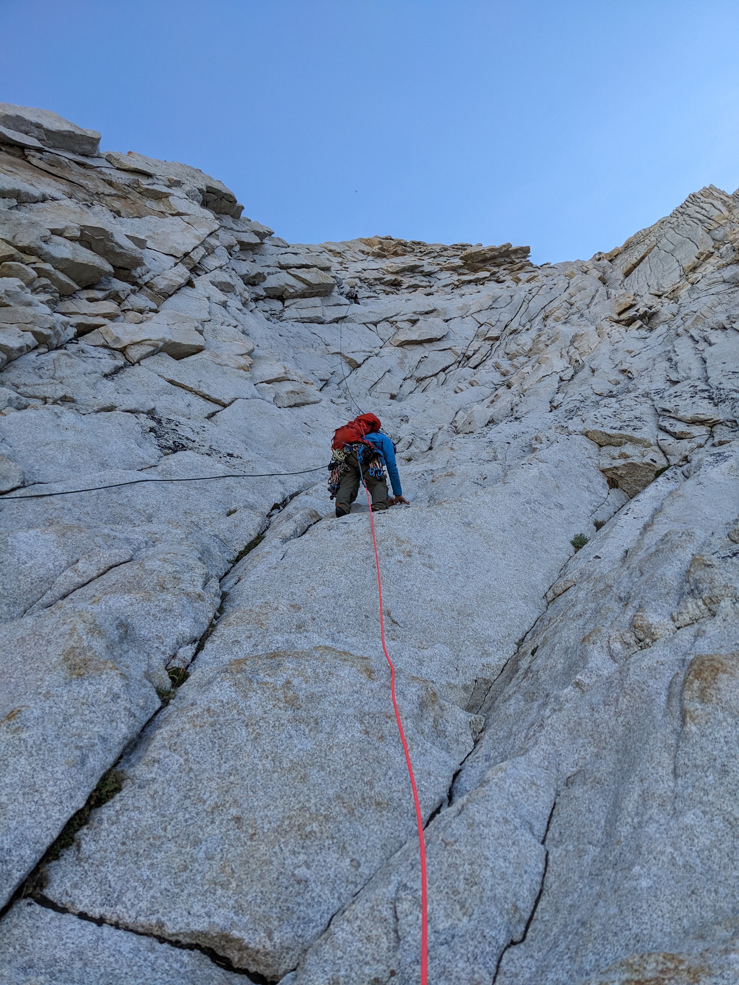
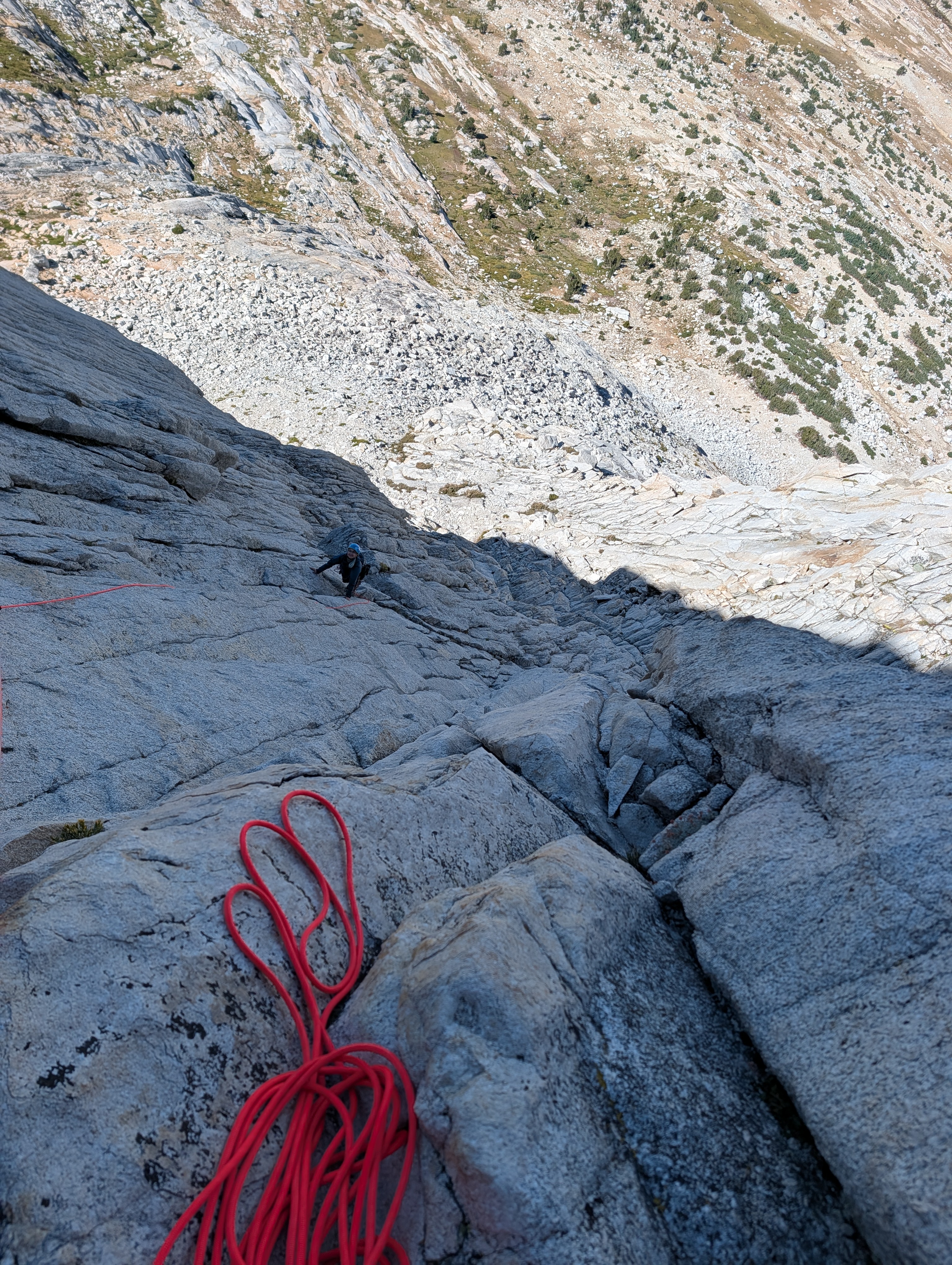
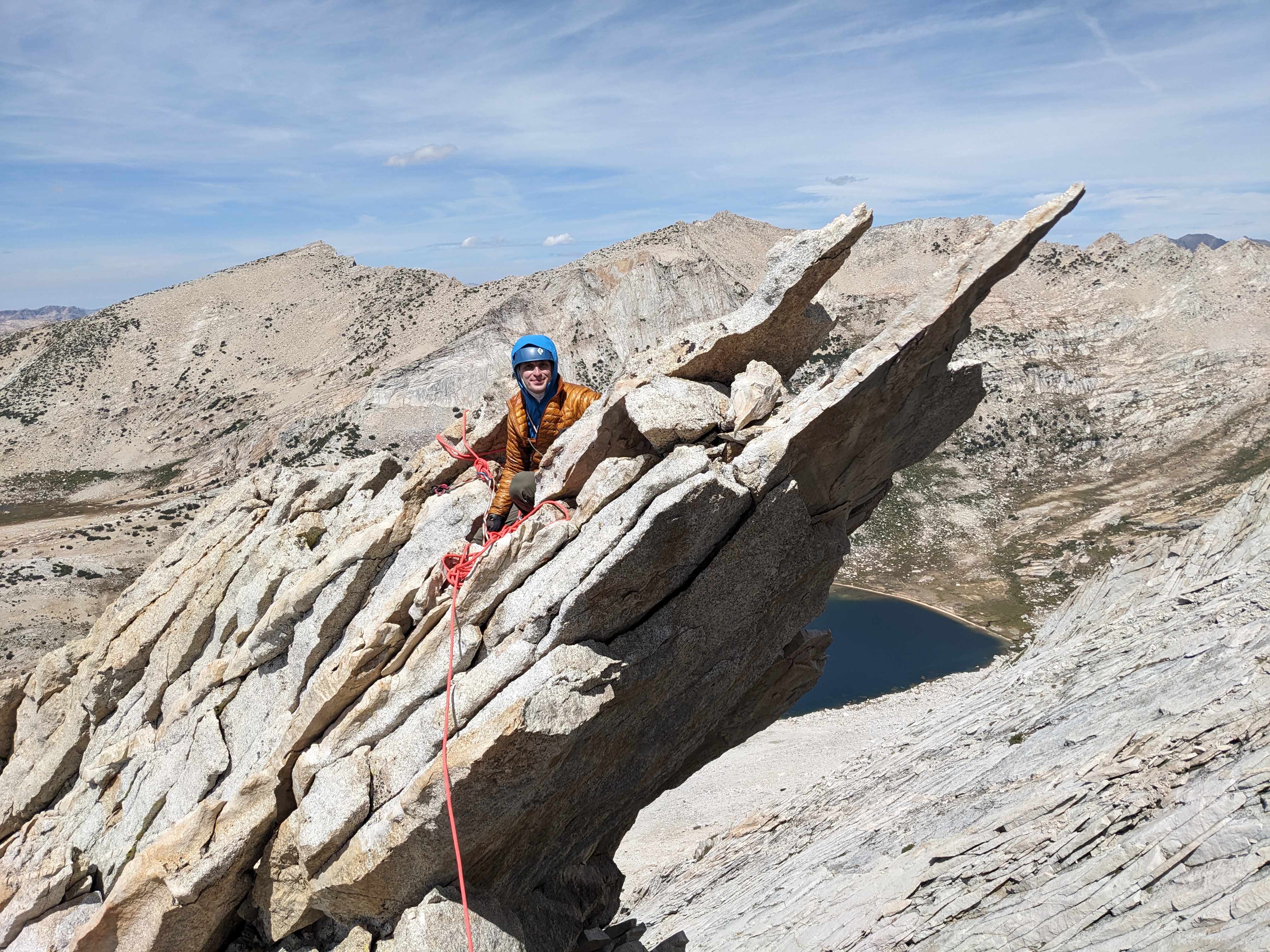
After the first couple of 5.6 pitches, the route becomes less steep, and we began simul climbing. Still at times we moved kind of slowly, probably due to the elevation (at this point we were over 12k!).
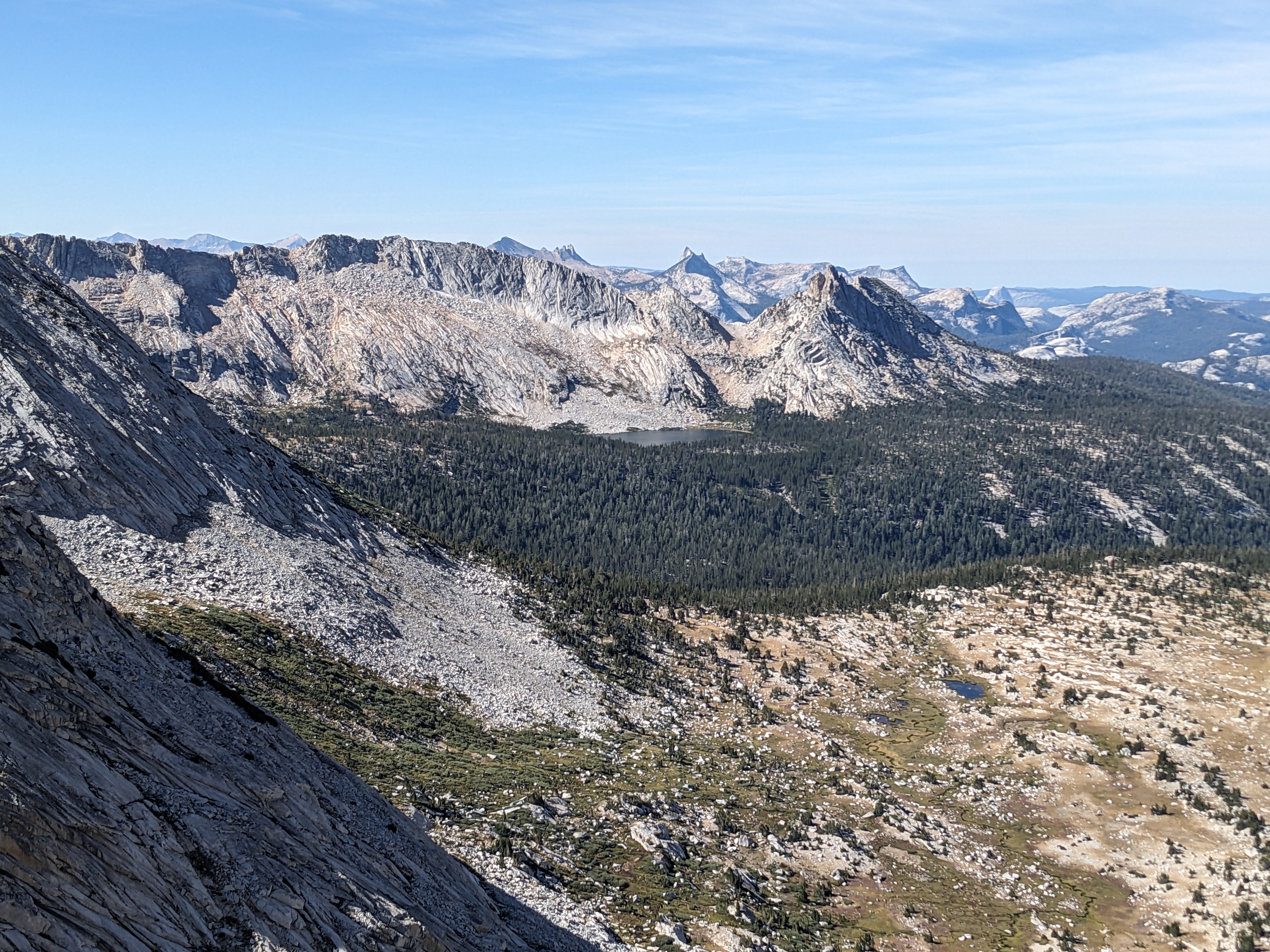
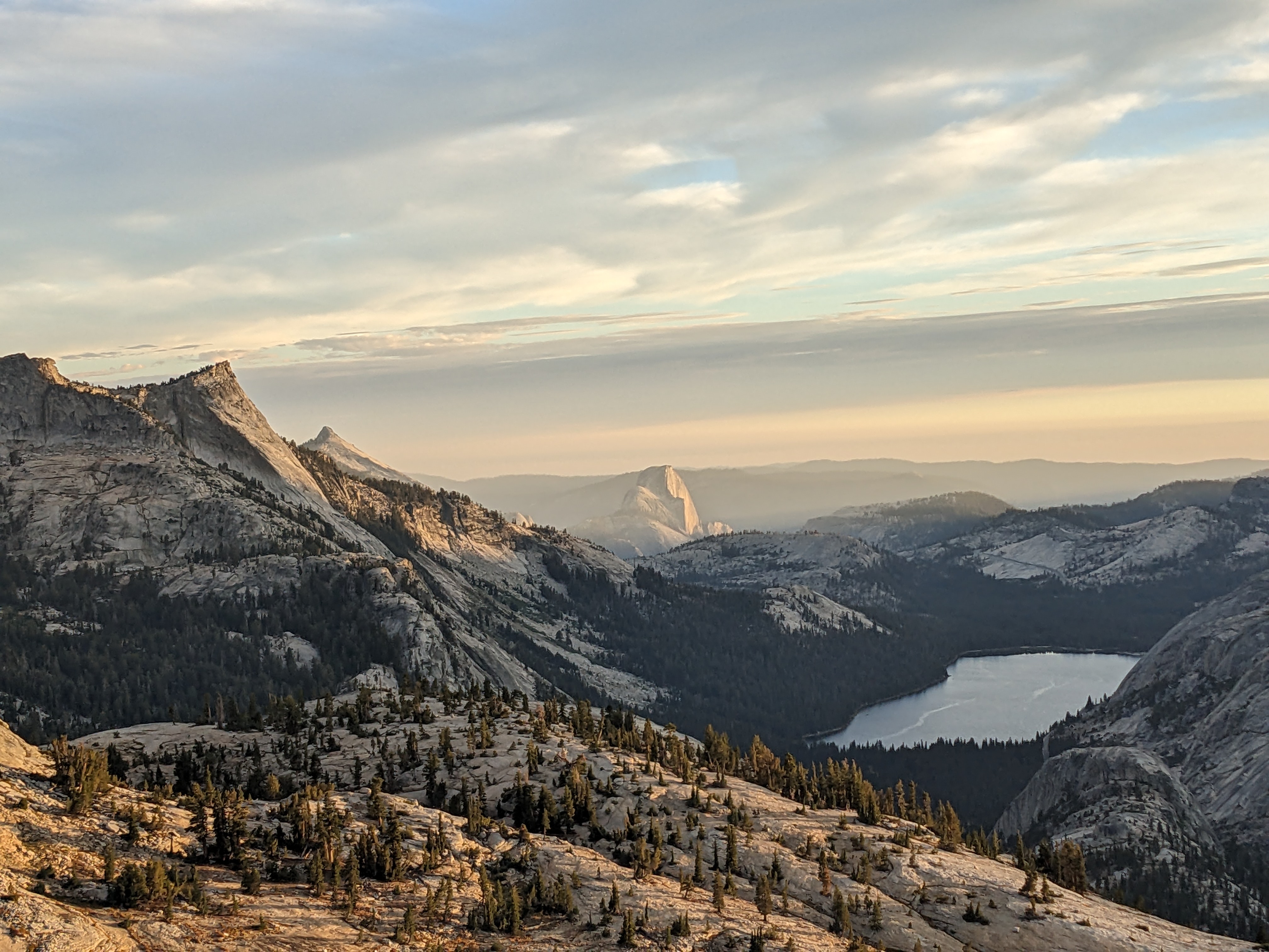
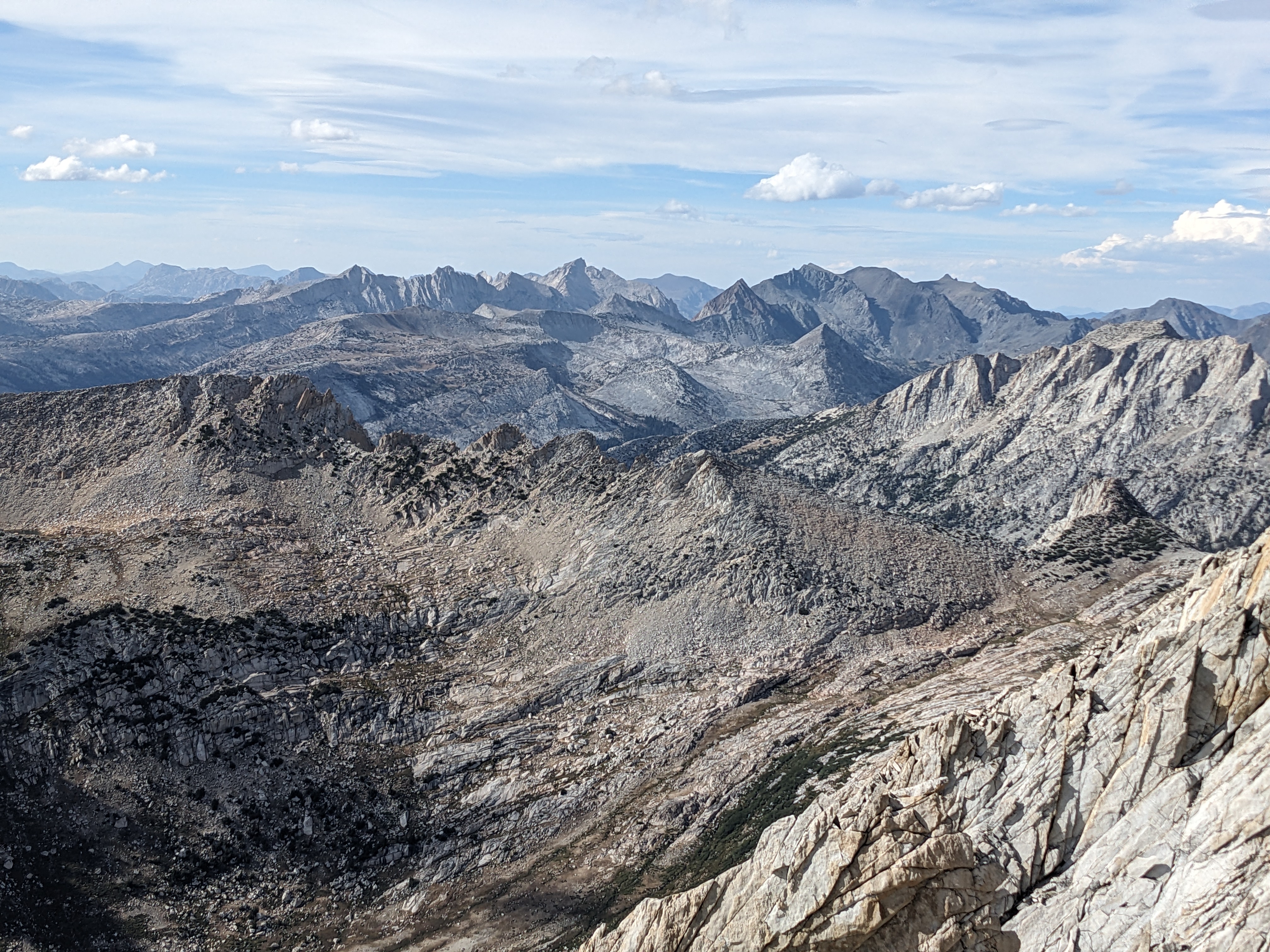
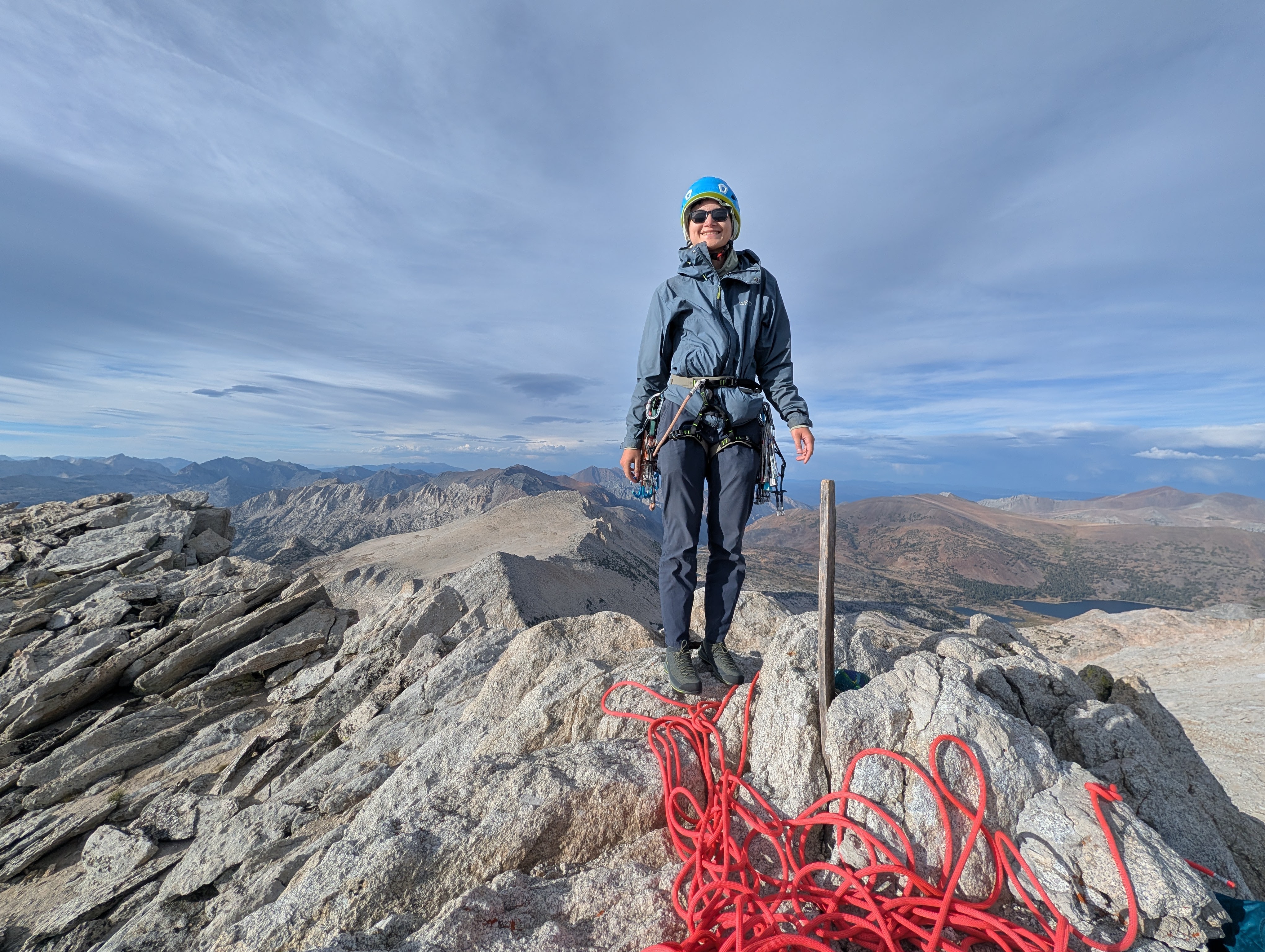
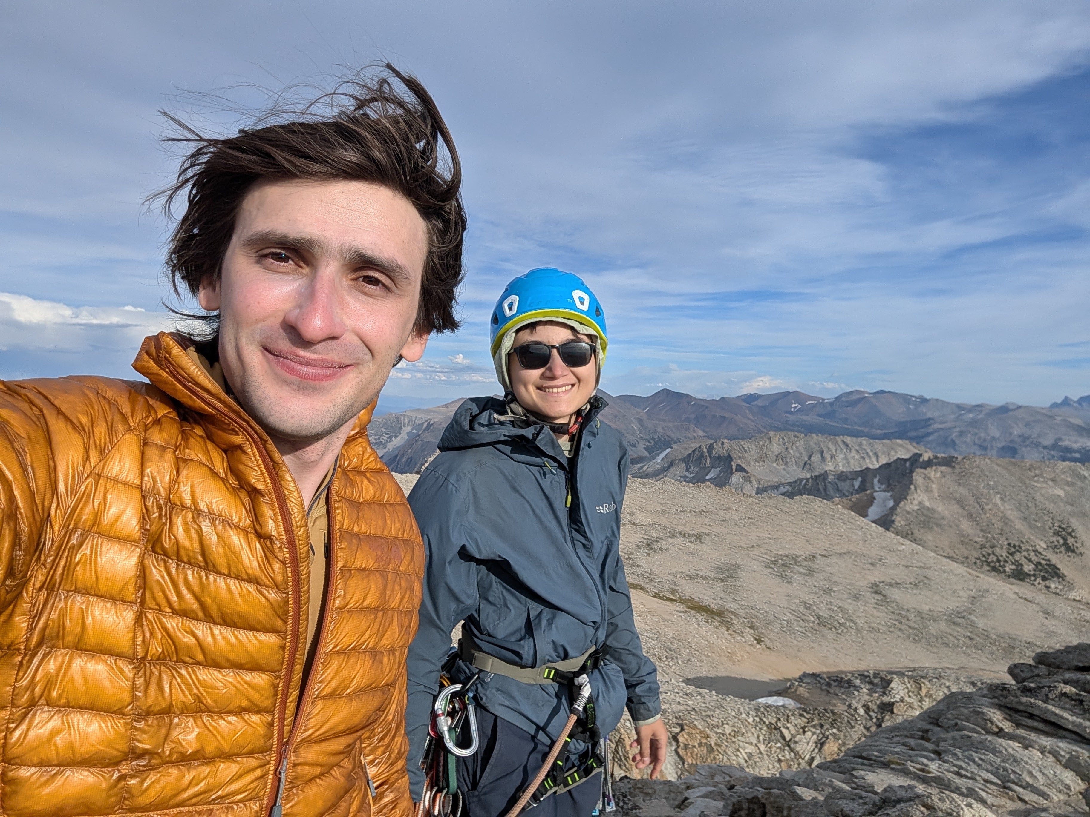
We reached the summit at 5:30pm, at 12,590 feet! It had breathtaking views of the domes of Tuolumne Meadows and the surrounding Sierra Nevada mountains. The summit was quite windy, so after taking some pictures and signing the summit register, we moved down a bit lower to pack up our backpacks for the descent.
The descent is thankfully a straightforward walk-off. It’s a little exposed in some places but it’s only class 2. We quickly made it off the rocky section of the mountain, and started hiking down steep, loose, and sandy switchbacks. We had gained multiple thousands of feet of elevation going from camp to the summit so now we had to lose them again.
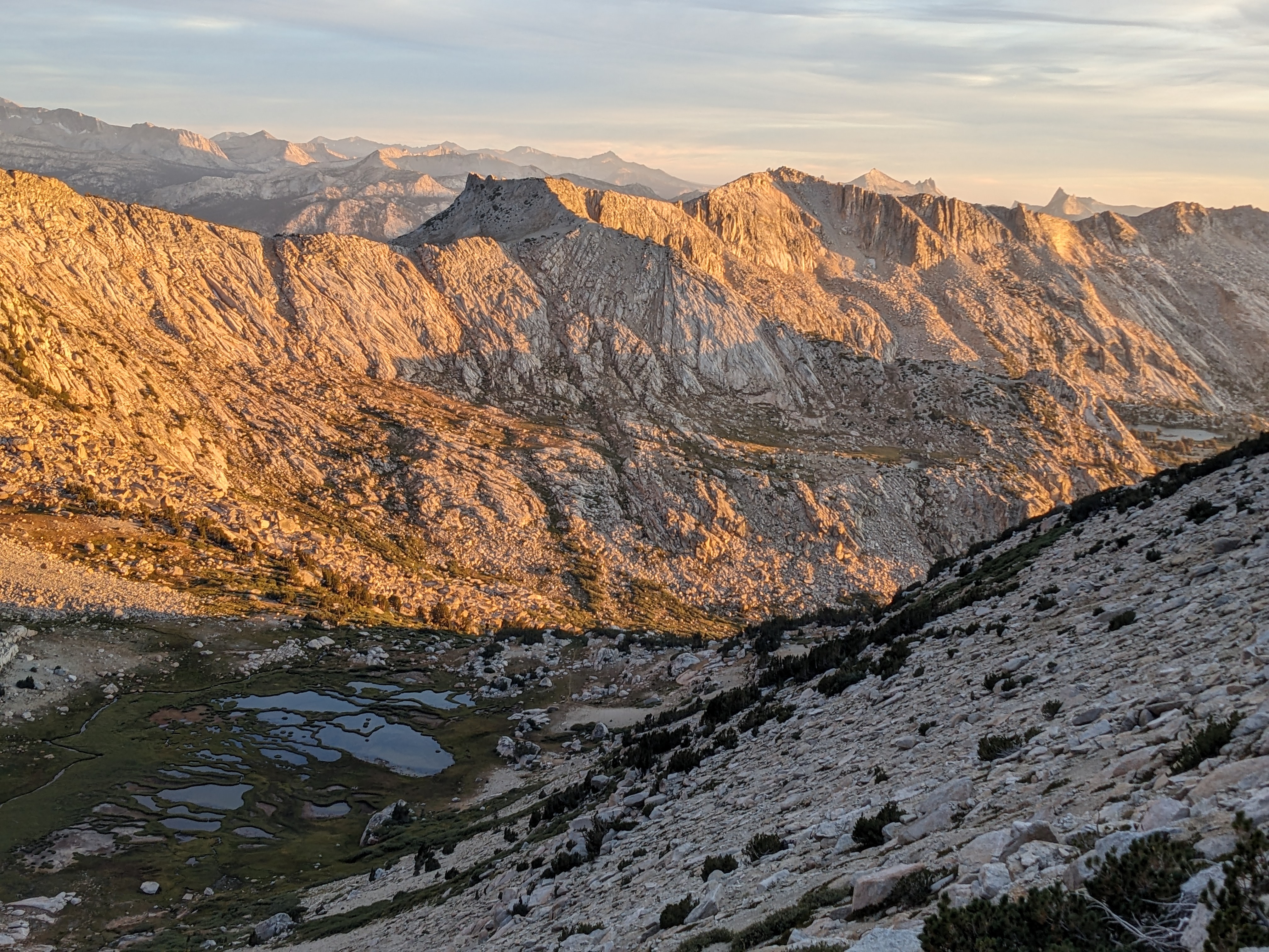
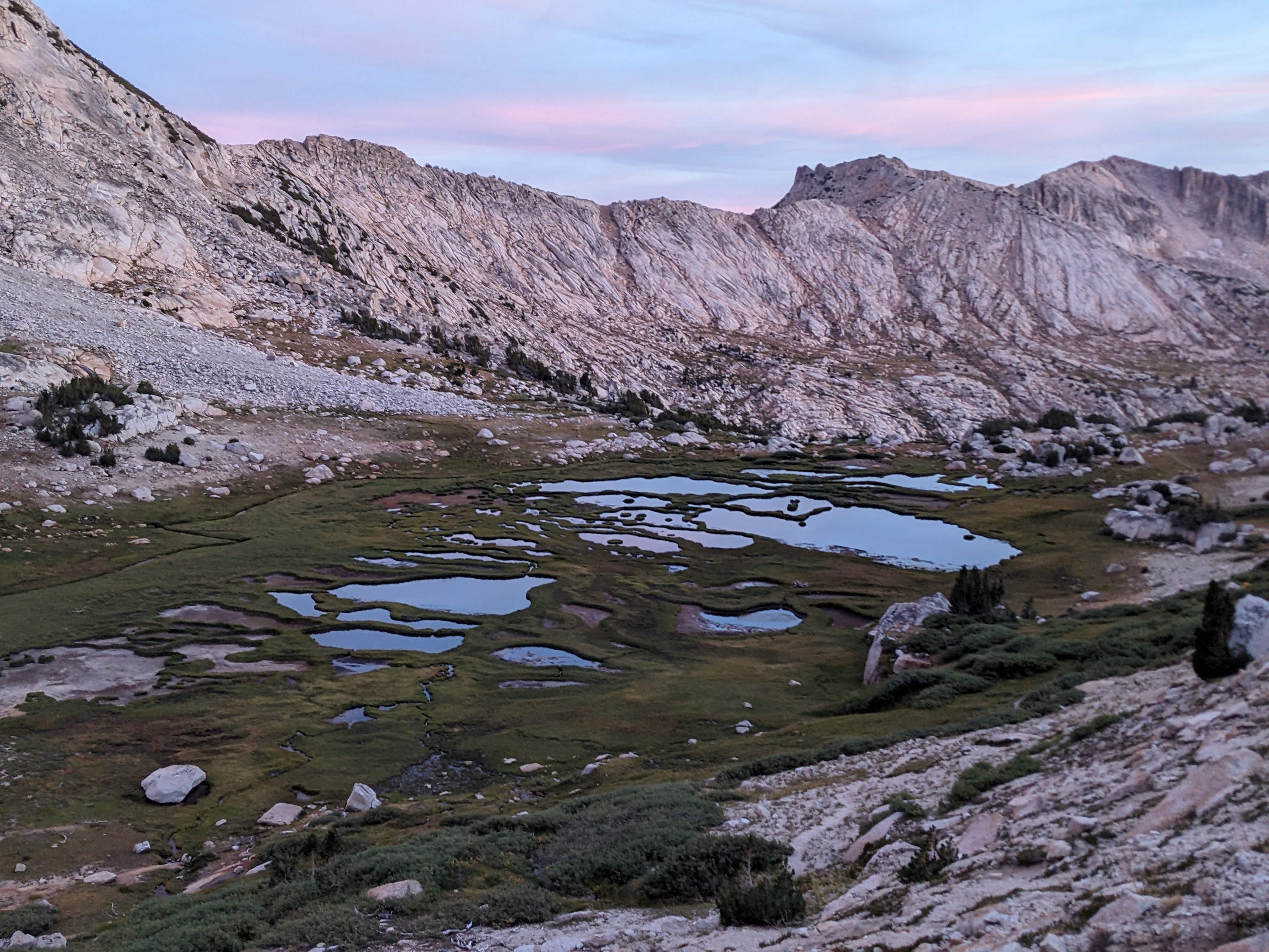
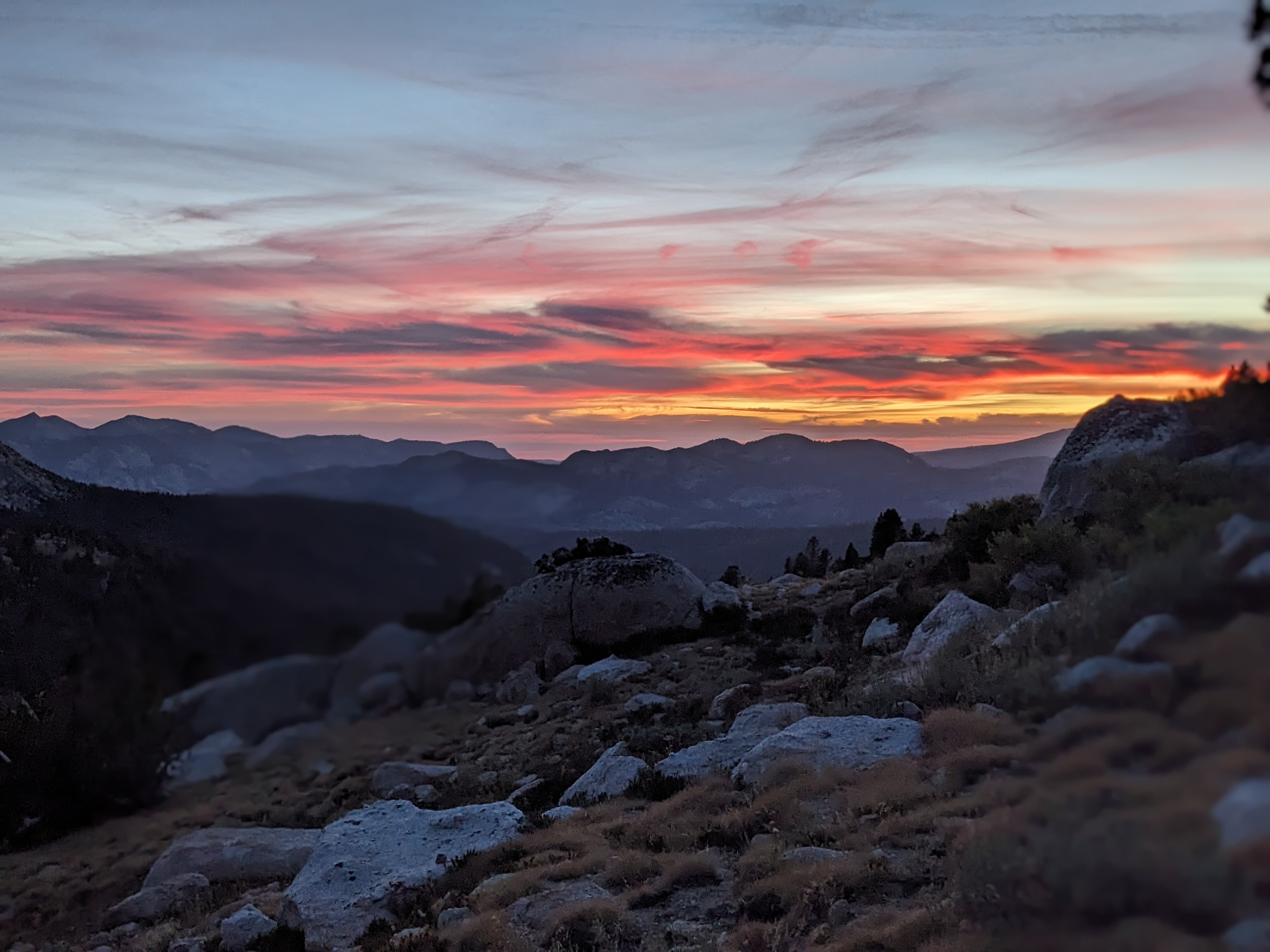
Eventually it got dark, which made navigation a lot harder. The trail had been easy to follow for a while, but at this point it kept disappearing and we would take 20 minutes or so to find it again, which was a bit frustrating. We finally made it back to camp around 9:30pm, cooked some dinner, and went to bed.
Day 3
On the final day, we slept in for a while, then packed up camp to head out! We took a different route going out than we had on the way in to make a loop, going via Dog Lake rather than Glen Aulin.
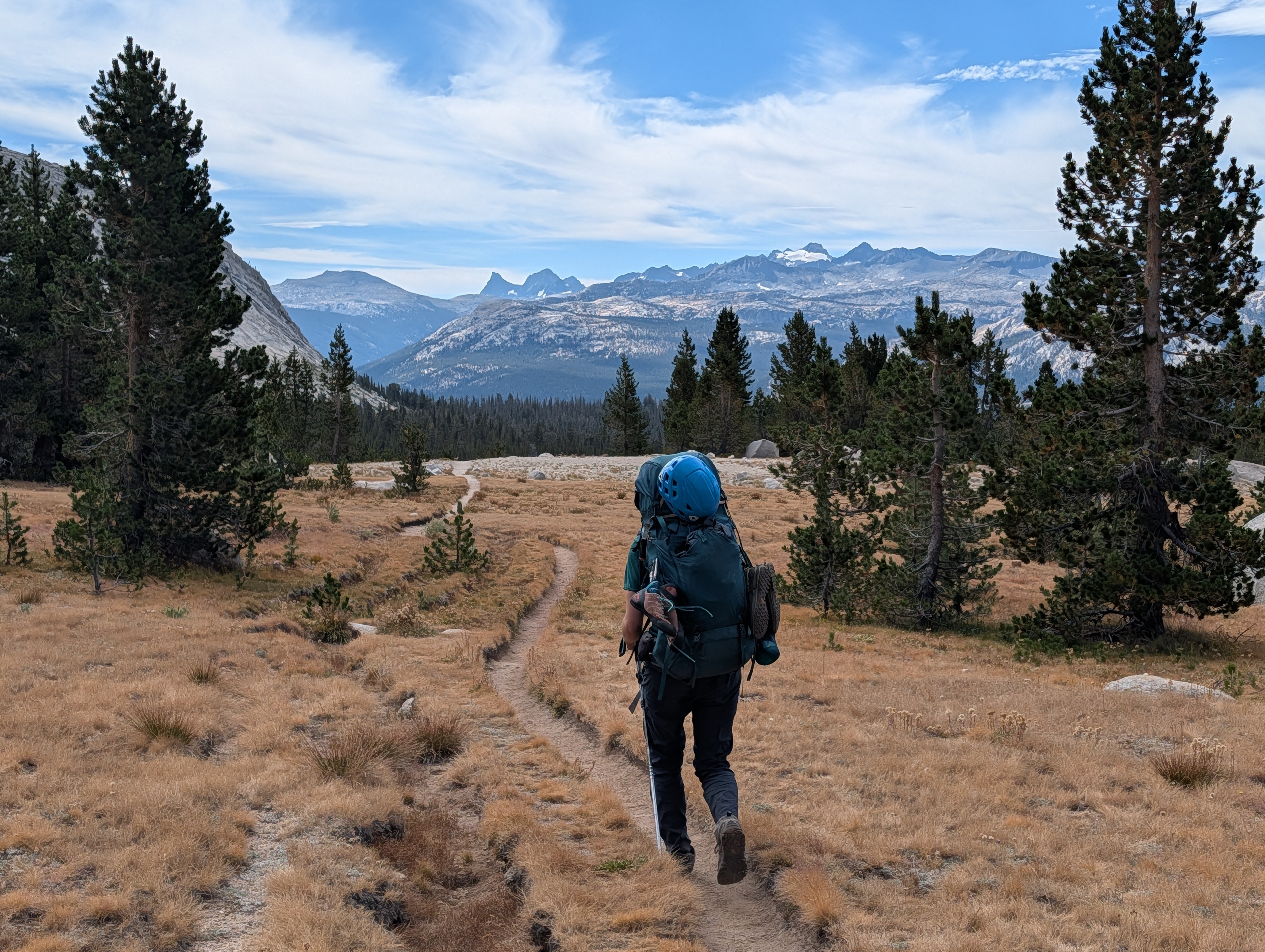
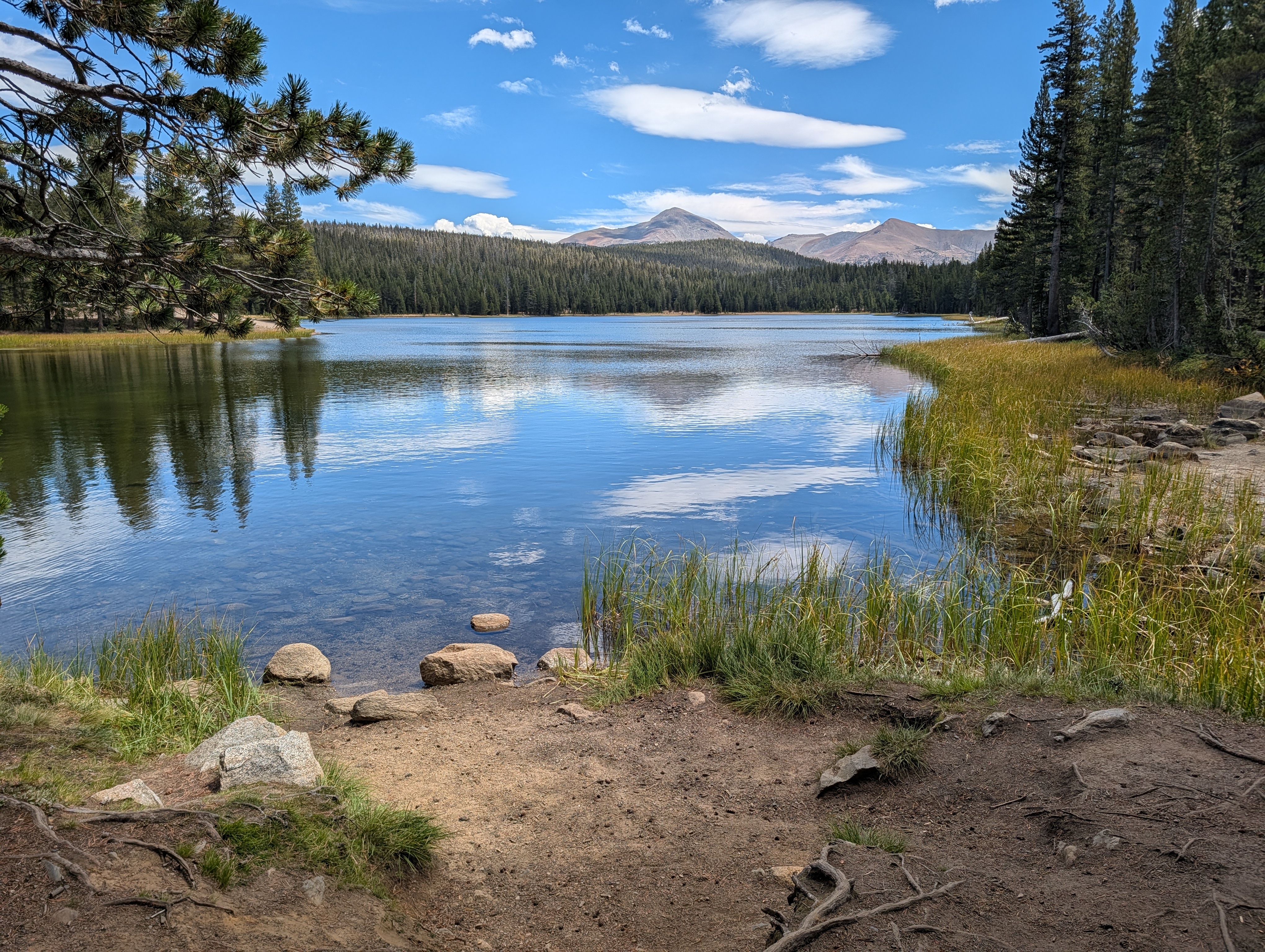
We made pretty good time with lighter packs and with a mostly downhill trail, getting back to the car around 1pm. We got some sandwiches at the TM grill and went for a swim in Tenaya Lake to finish out the trip.